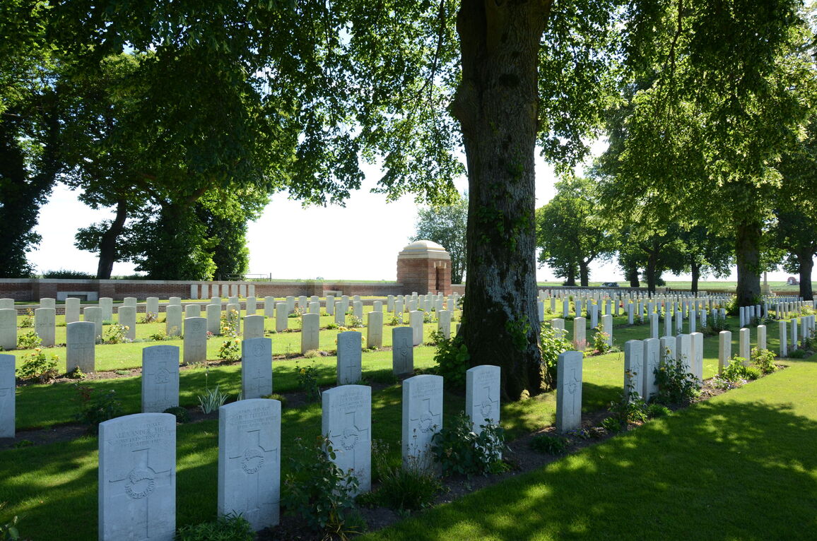
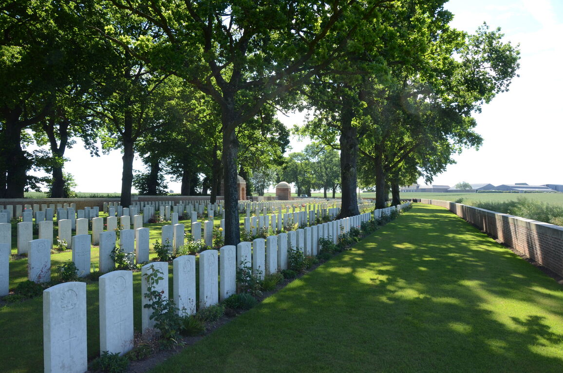
Sucrerie Military Cemetery, Colincamps
- Country France
- Total identified casualties 885 Find these casualties
- Region Somme
- Identified casualties from First World War
- GPS Coordinates Latitude: 50.09567, Longitude: 2.62341
Location information
Colincamps is a village about 16 kilometres north of Albert. Sucrerie Military Cemetery is about 3 kilometres south-east of the village on the north side of the road from Mailly-Maillet to Puisieux. The cemetery is on the left; along a 400 metres dirt track.
Visiting information
ARRIVAL
The cemetery is located off the D919, positioned back from the road. The route to access the cemetery is signposted.
There is a single vehicle width track leading from the main road to the main entrance of the cemetery; the track is 400 metres long and is compacted earth mixed with gravel.
PARKING
It is possible to park in front of the cemetery on the track. However, conditions can become very muddy, especially after periods of heavy rain.
The ground is firm, uneven, compacted earth and gravel.
ACCESS LAYOUT AND MAIN ENTRANCE
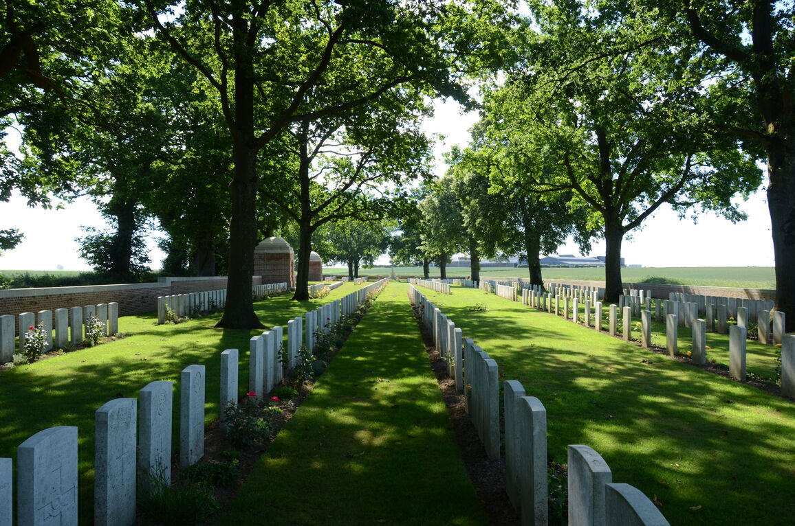
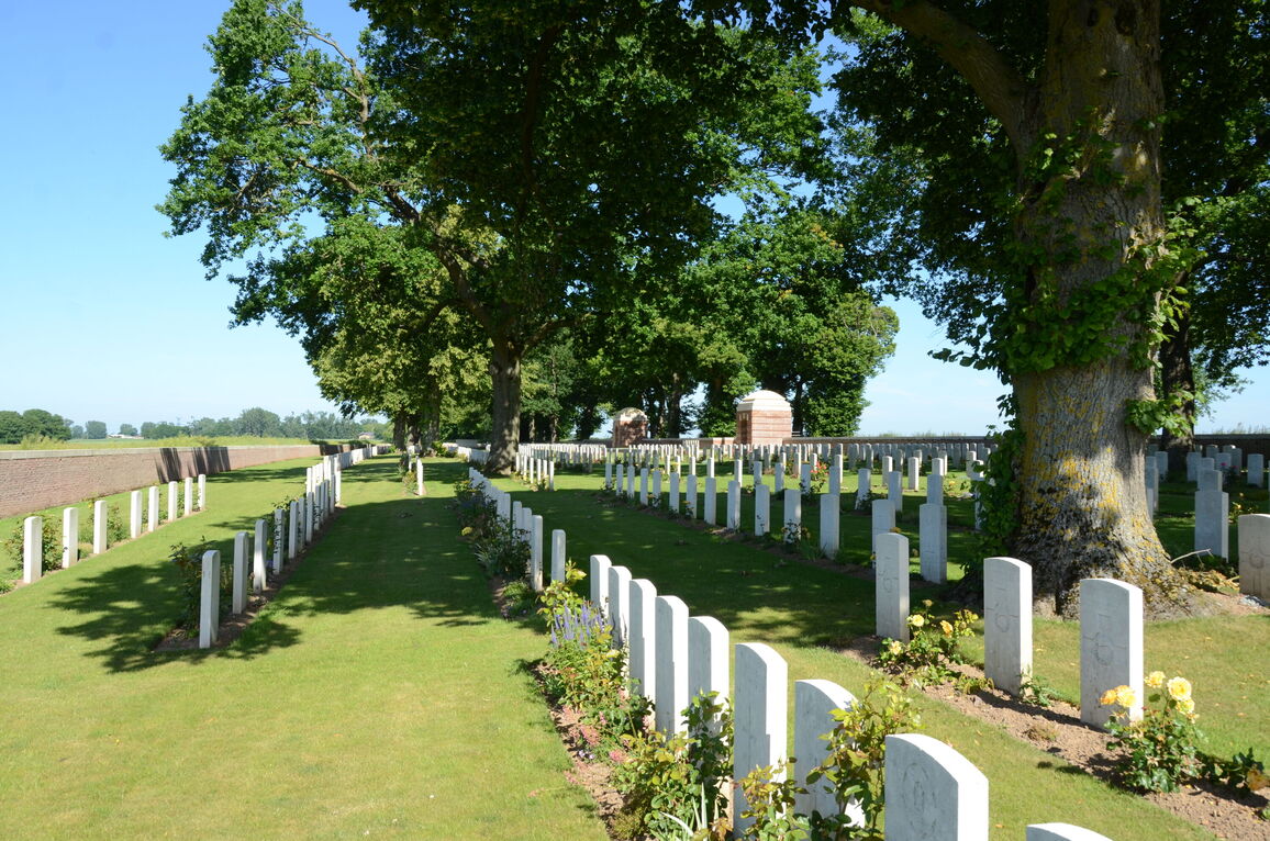
The cemetery is rectangular in shape, surrounded by a brick wall in agricultural fields, 400 metres from the main road.
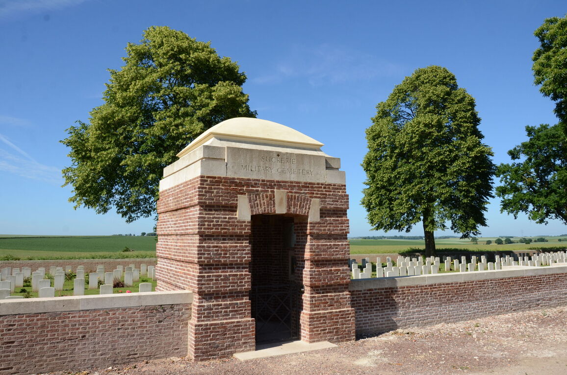
A single stone step, approximately 75 mm above the gravel frontage is located in front of the main entrance shelter building.
The main gate is a 1 metre wide, mid-level, thigh height, black gate with the opening latch on the top right corner, with an up-and-down latch. The gate opens inwards.
The internal paving of the shelter building is level with external paving inside the cemetery. Three steps lead down to the left of the paving and in front of the paving. To the right of the paving is a grass platform bound by stone kerbing level with the platform and drops down approximately 300 mm into the burial area.
At the opposite end of the platform is a matching tool store shelter building with steps leading down in front and to the right of the paving.
There are stone benches against the boundary wall on the platform.
The Register Box is inside the shelter building left wall inside the main entrance.
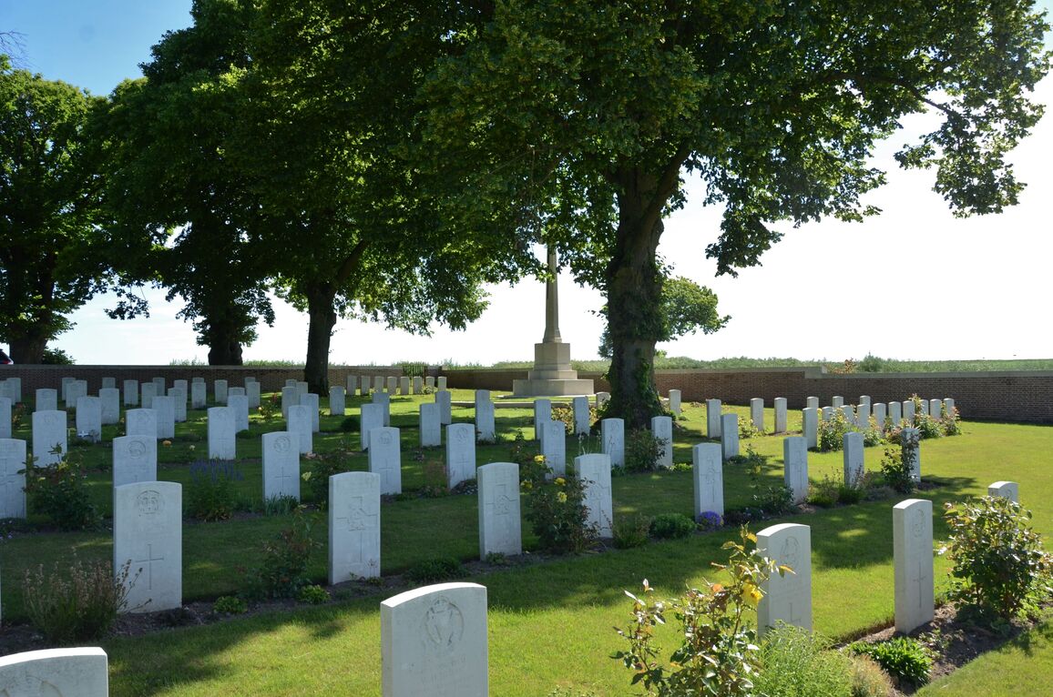
The Cross of Sacrifice is to the left of the main entrance at the midpoint of the eastern boundary.
The Stone of Remembrance is to the right of the main entrance at the midpoint of the western boundary in line with the Cross of Sacrifice.
There is internal stone seating in the entrance shelter building.
The internal paths are grass; the ground is firm and there are gently sloped areas around the cemetery.
ALTERNATIVE ACCESS
At the eastern end of the cemetery in line with the Cross of Sacrifice is a staff service entrance.
There is a 1.50 metre wide, black metal double gate. There is an up-and down central latch on the gate; the gate opens into the cemetery and offers step free access into the burial area. It is possible to park next to this access gate in front of the cemetery boundary wall.
ADDITIONAL INFORMATION
The cemetery is permanently open.
The ground can become very waterlogged and muddy during periods of wet weather.
History information
The cemetery was begun by French troops in the early summer of 1915, and extended to the West by British units from July in that year until, with intervals, December 1918. It was called at first the 10th Brigade Cemetery. Until the German retreat in March 1917, it was never more than a 1.6 kilometres from the front line; and from the end of March 1918 (when the New Zealand Division was engaged in fighting at the Sucrerie) to the following August, it was under fire. The 285 French and twelve German graves were removed to other cemeteries after the Armistice, and in consequence there are gaps in the lettering of the Rows. Between 1933 and 1934 some of these gaps were refilled after 210 graves, found on the battlefields of the Somme, were added.
There are now 1103, 1914-18 war casualties commemorated in this site. Of these 219 casualties are unidentified.
The cemetery covers an area is 6,322 square metres and it is enclosed by a low brick wall. The cemetery was designed by Sir Reginald Blomfield.


