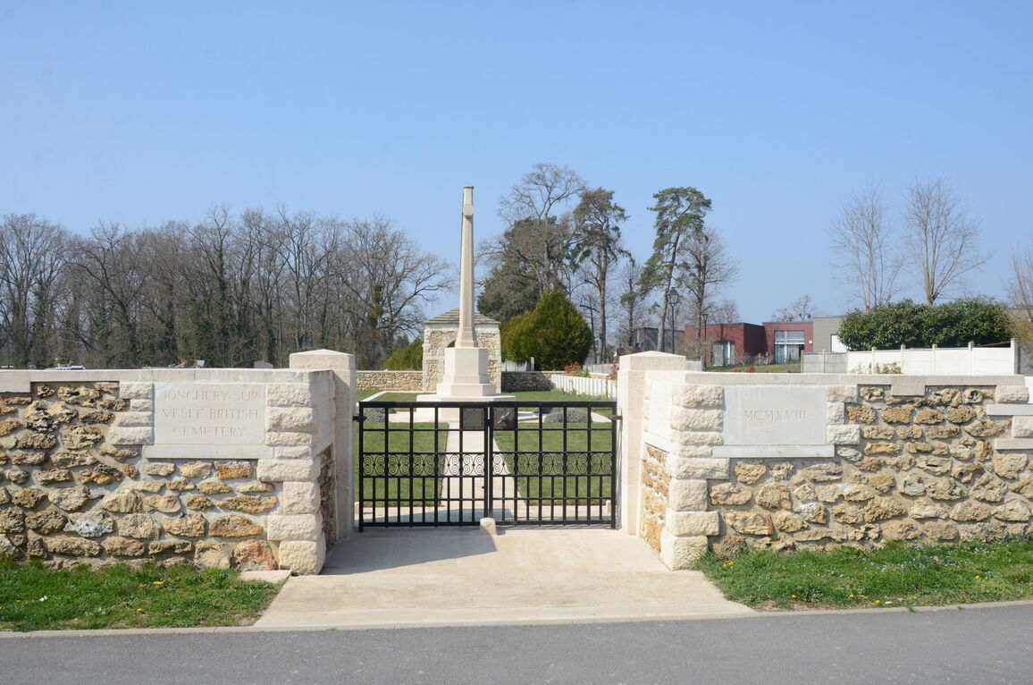
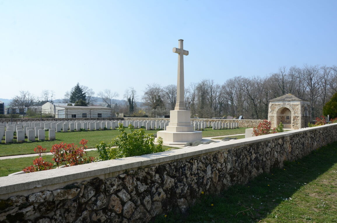
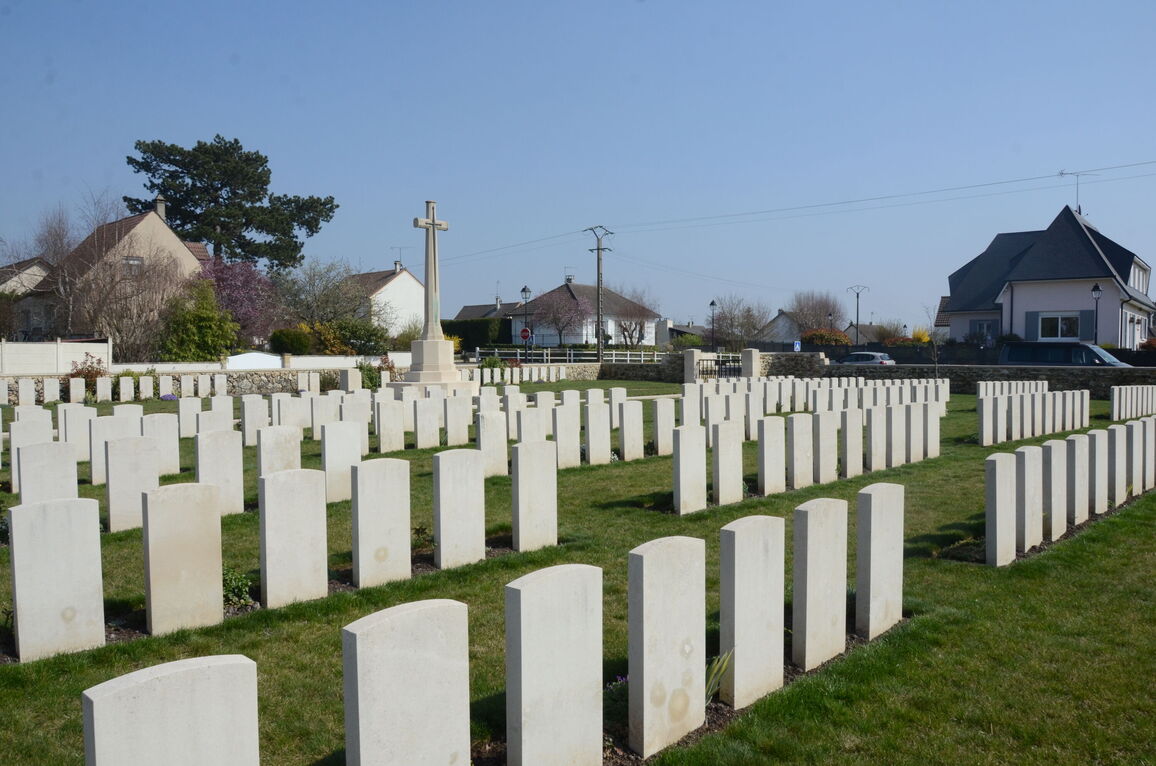
Jonchery-Sur-Vesle British Cemetery
- Country France
- Total identified casualties 101 Find these casualties
- Region Marne
- Identified casualties from First World War
- GPS Coordinates Latitude: 49.29064, Longitude: 3.80836
Location information
Jonchery-sur-Vesle is a village and commune in the Department of the Marne, about 16 kilometres west of Reims, adjacent to the Reims to Soissons road (E46-N31).
Exit the motorways A4-E50 or A26-E17 at the Reims intersection "Tinqueux".
On leaving the motorway take the N31-E46 road that goes from Reims to Soissons. Follow this road towards Soissons for 11 kilometres, then take the right hand side road to Jonchery-sur-Vesle. Follow this road for a further 2 kilometres, going straight through the centre of the village. Turn right at the last junction (at the CWGC road sign) and go along the Rue de Sachs for about 200 metres. The Cemetery is beside the road on the left hand side.
Visiting information
Wheelchair access to the cemetery is possible with some difficulty. For further information regarding wheelchair access, please contact our Enquiries Section on telephone number 01628 507200.
History information
Jonchery-sur-Vesle British Cemetery was made after the Armistice, by the concentration of graves from the battlefields and other cemeteries, including:-
ECUEIL FARM MILITARY CEMETERY, where 13 British soldiers were buried in July 1918, with 31 French and 25 Italian.
TRAMERY FRENCH MILITARY CEMETERY, where four British soldiers were buried in May 1918.
TRESLON CHURCHYARD and FRENCH EXTENSION, where two British soldiers and one man of the Friends' Ambulance Unit were buried.
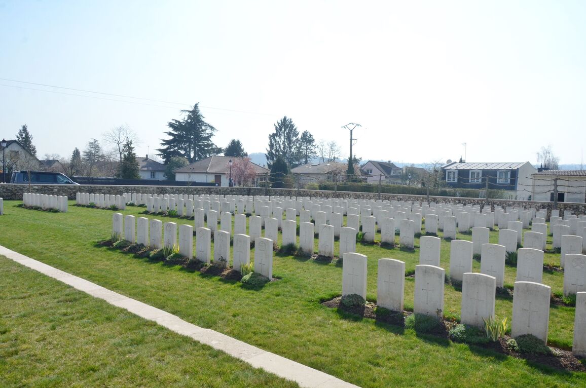
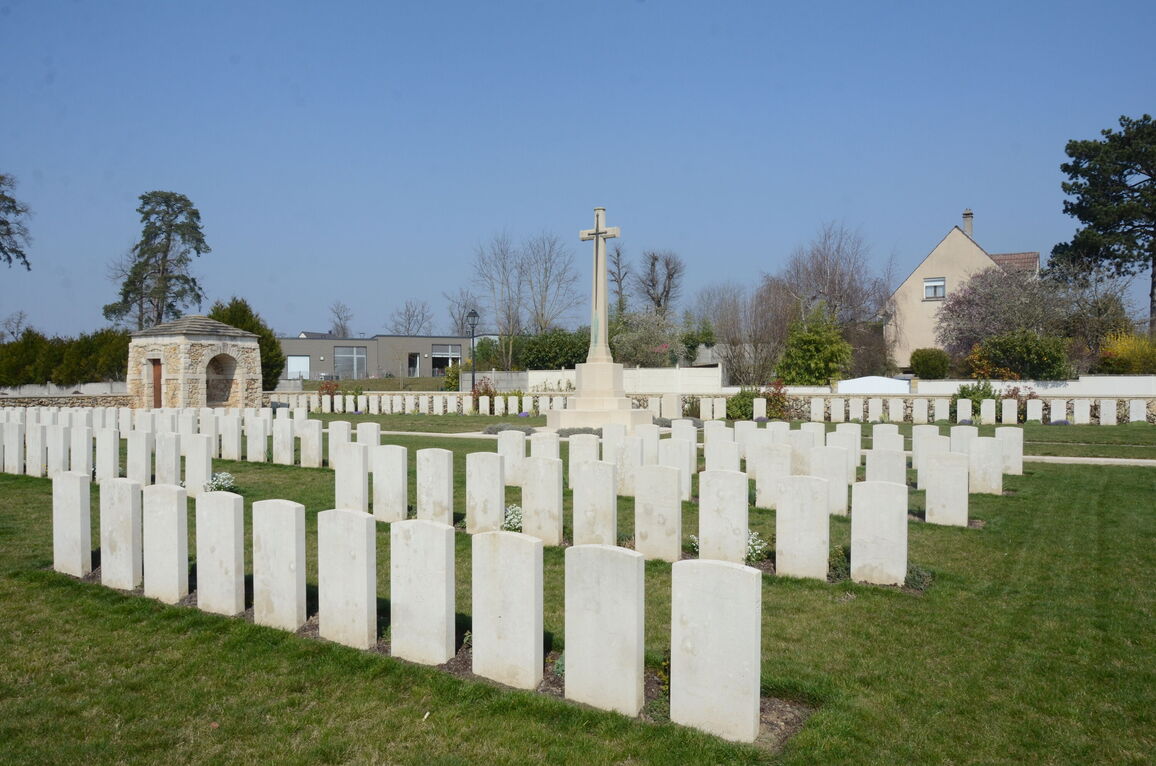
There are now over 350, 1914-18 war casualties commemorated in this site. Of these, over two-thirds are unidentified and special memorials are erected to five soldiers from the United Kingdom, buried in other cemeteries, whose graves could not be found.
The cemetery covers an area of 1,376 square metres and is enclosed by a low flint rubble wall.


