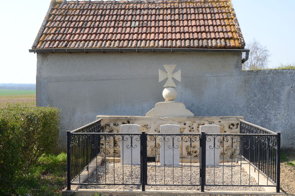
Coincy Isolated Graves
- Country France
- Total identified casualties 3 Find these casualties
- Region Aisne
- Identified casualties from Second World War
- GPS Coordinates Latitude: 49.1637, Longitude: 3.41578
Location information
Coincy is a village approximately 3 kilometres east of the main road (D1) from Soissons to Chateau-Thierry. It is about 27 kilometres south of Soissons and 14 kilometres north of Chateau-Thierry.
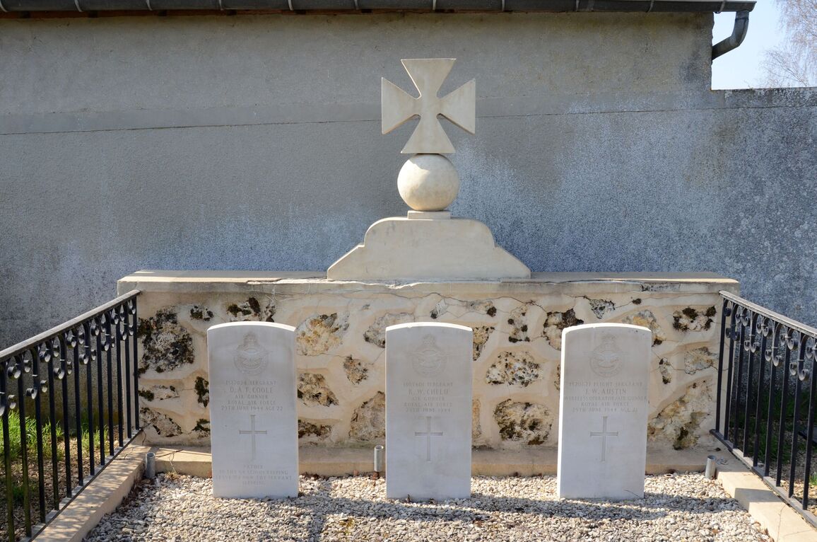
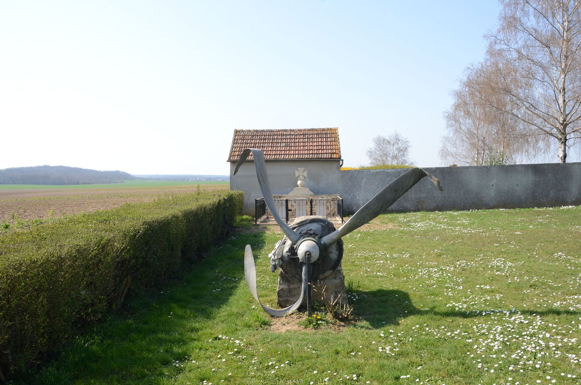
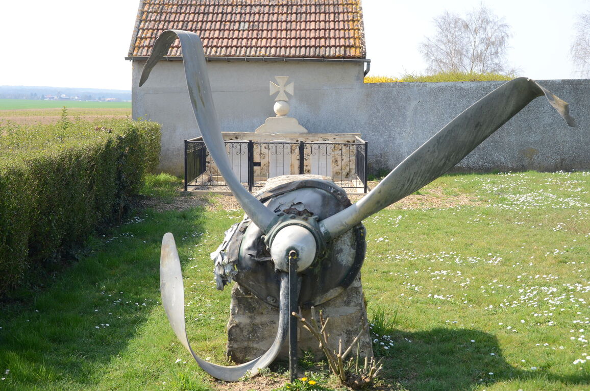
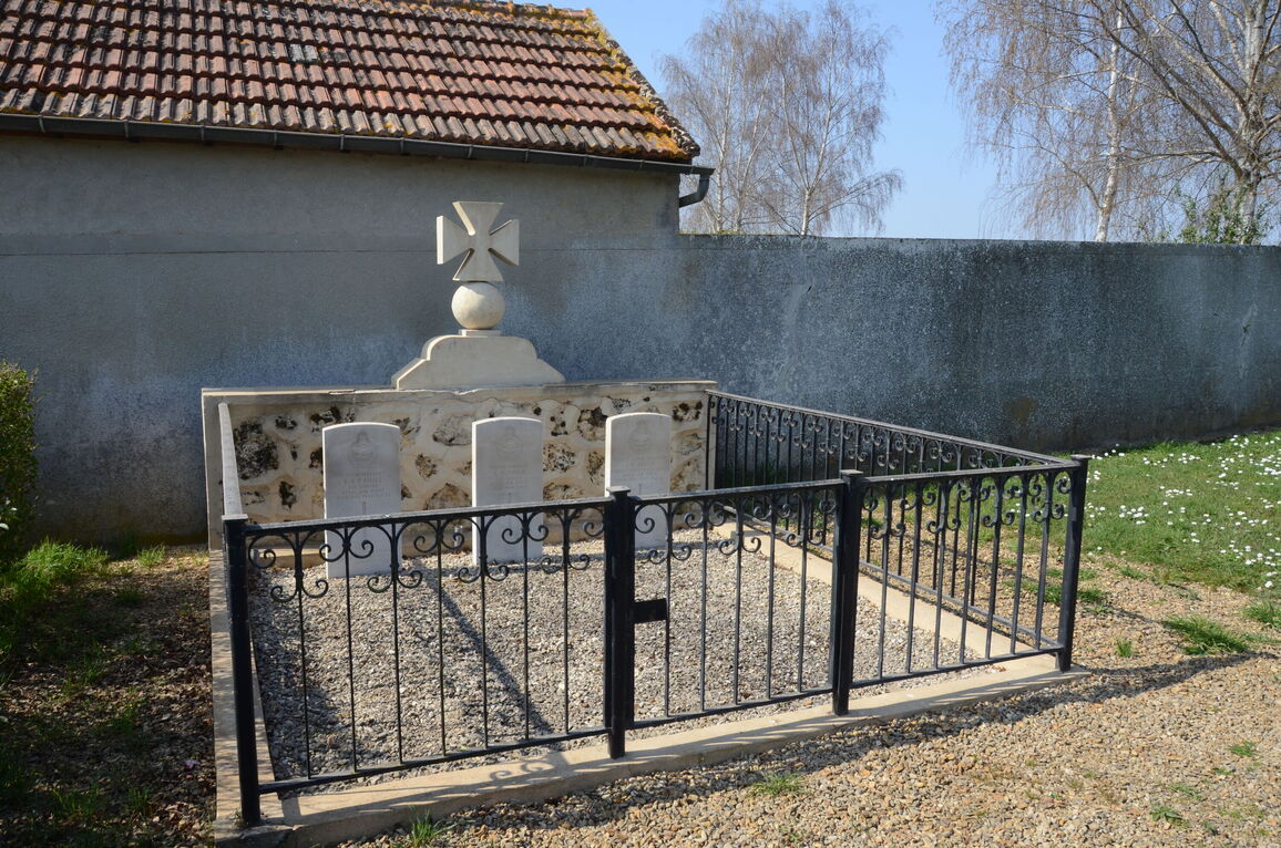
The Communal Cemetery is north-west of the village on the road (D80) to Armentieres-sur-Oureq. In a small enclosure against the cemetery wall, but outside of it, are the graves of 3 Commonwealth airmen of the 1939-1945 war.


