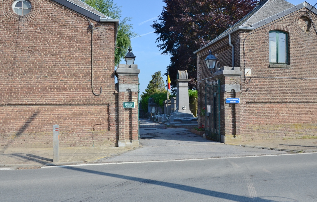
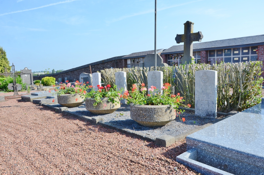
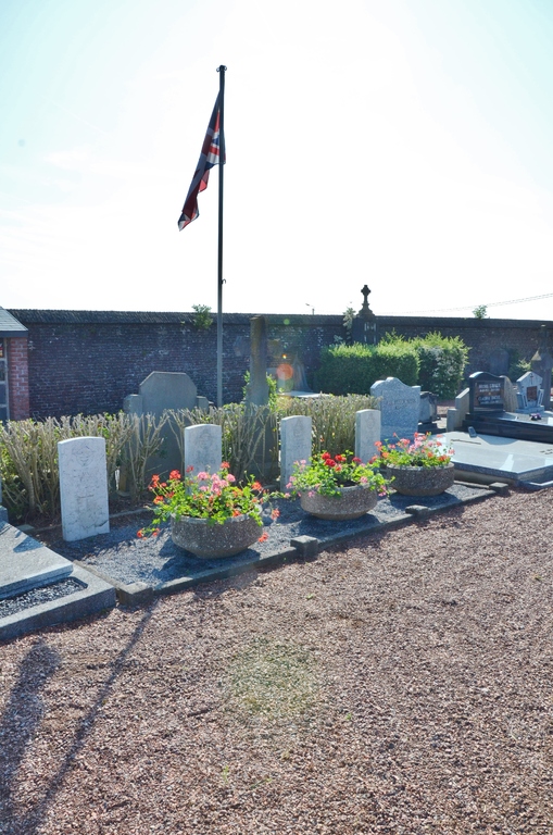
Gembloux Communal Cemetery
- Country Belgium
- Total identified casualties 3 Find these casualties
- Region Namur
- Identified casualties from Second World War
- GPS Coordinates Latitude: 50.56471, Longitude: 4.70839
Location information
The commune of Gembloux is located 18 kilometres south-south-east of the town of Wavre on the N4. From the motorway E411/A4 which runs between Namur and Brussels turn off at junction 11 onto the N29 direction Charleroi. Follow the N29 to the junction with the N4 at Gembloux, turn left onto the N4 direction Namur, cross the railway and turn left at the next junction into rue de Bordia, the cemetery is along on the left. The graves are located to the right of the main path a little way in.
History information
The British Expeditionary Force was involved in the later stages of the defence of Belgium following the German invasion in May 1940, and suffered many casualties in covering the withdrawal to Dunkirk. Commonwealth forces did not return until September 1944, but in the intervening years, many airmen were shot down or crashed in raids on strategic objectives in Belgium, or while returning from missions over Germany.
Gembloux Communal Cemetery contains the graves of four airmen of the Second World War, one of whom is not identified.