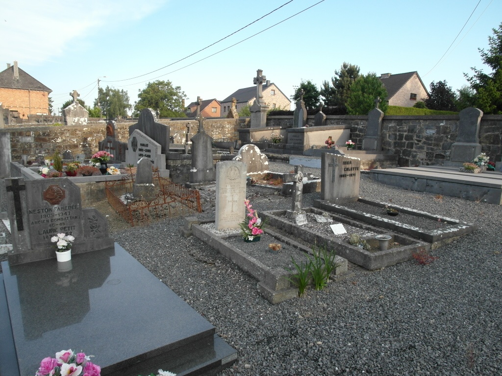
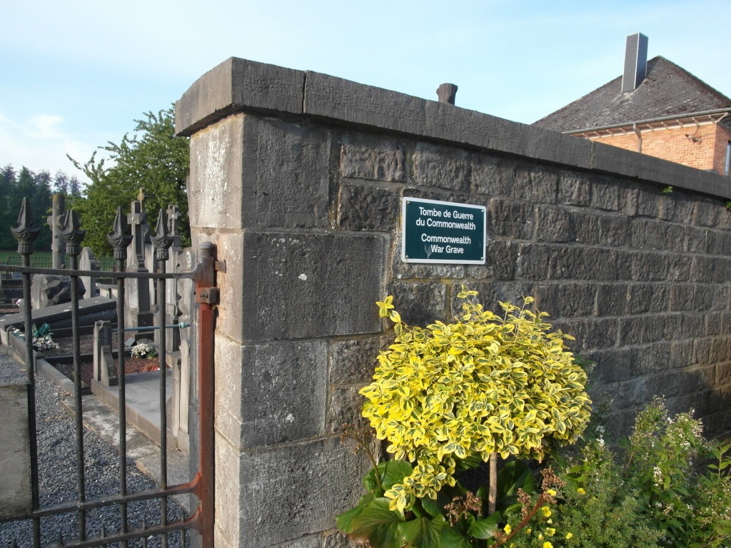
Serinchamps (Haversin) Churchyard
- Country Belgium
- Total identified casualties 1 Find these casualties
- Region Namur
- Identified casualties from Second World War
- GPS Coordinates Latitude: 50.24959, Longitude: 5.19906
Location information
The churchyard is in the village of Haversin which is in the administrative commune of Serinchamps and is located south-east of the town of Ciney on the N929. From the E411 motorway which runs between Namur and Luxembourg take the exit off at junction 21 onto the N919/925 direction Leignon. Follow this road to the junction with the N949 in Leignon, turn onto the N949 direction Serinchamps take the main road on the left signed to Serinchamps called Rue Montante. Follow this road into the village and at the junction carry straight on along the N929 over the railway crossing. The church is straight along from the crossing in Rue de Barvaux on the right hand side of the road. The Commonwealth grave is at the rear of the church in the centre of the graveyard.
History information
The British Expeditionary Force was involved in the later stages of the defence of Belgium following the German invasion in May 1940, and suffered many casualties in covering the withdrawal to Dunkirk. Commonwealth forces did not return until September 1944, but in the intervening years, many airmen were shot down or crashed in raids on strategic objectives in Belgium, or while returning from missions over Germany.
Serinchamps (Haversin) Churchyard contains one burial of the Second World War.