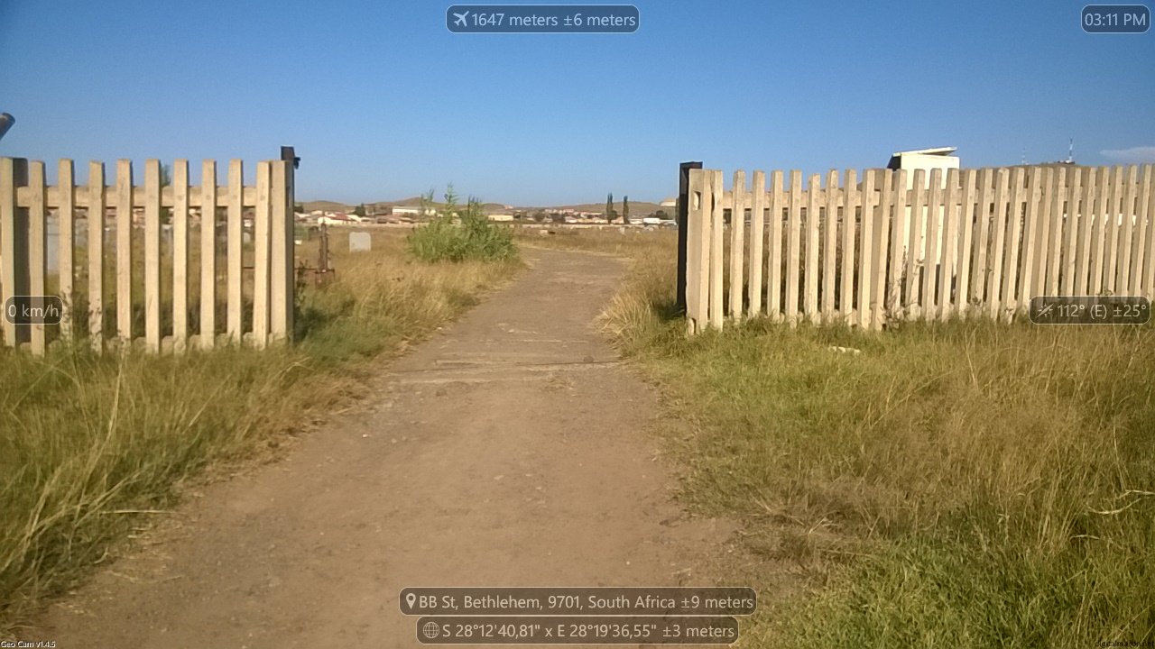
Bethlehem (Bohlokong) Cemetery
- Country South Africa
- Total identified casualties 1 Find these casualties
- Region Free State
- Identified casualties from Second World War
- GPS Coordinates Latitude: -28.21279, Longitude: 28.32759
Location information
Drive from Kroonstad on the R76 turn left onto Muller Street and left onto the R26 / Hospital Road continue on the road and the cemetery will be on the left hand side, drive on the N5 from Harrismith continue straight onto the R26 / / Hospital Road continue on the road and the cemetery will be on the left hand side.


