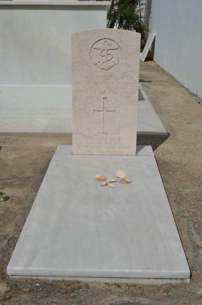
Zahara De Los Atunes Cemetery
- Country Spain
- Total identified casualties 1 Find these casualties
- Identified casualties from Second World War
- GPS Coordinates Latitude: 36.13466, Longitude: -5.84451
Location information
Zahara de los Atunes is a small fishing village 71 kilometres west of Algeciras, and 83.5 kilometres from Cadiz by road. It is south of Vejer de la Frontiera, which is on the Algeciras-Cadiz road.
The Cemetery is some 150 yards south-east of the village and the British grave is in the eastern corner of the Cemetery.
Map of the area: http://www.zaharaenlaweb.com/flash/mapas/zahara.swf
Cemetery address: Calle Albacora s/n - 11393 Zahara de los Atunes (Barbate).
GPS Co-ordinates: N 36° 08'04", W 5° 50' 38". In decimals: 36.132362,
-5.845177.
Visiting information
This cemetery is open Tuesday to Sunday from 9am to 6pm.
For further information and enquiries please contact enquiries@cwgc.org


