Niederorschel Communal Cemetery
- Country Germany
- Total identified casualties 1 Find these casualties
- Region Thuringen
- Identified casualties from Second World War
- GPS Coordinates Latitude: 51.36644, Longitude: 10.43043
Location information
Niederorschel is a small village in central Germany approx 87 km east of Kassel.
From the A7 Kassel to Hannover motorway take exit 74 (Ausfahrt 74) NORDHAUSEN / LEIPZIG / HALLE and follow A38 direction HALLE. Continue for approx 45.5 kms and turn right onto L1014 direction GERNRODE continue for approx 2.6 kms and turn left onto L1015 BAHNHOFSTRAßE direction Niederorschel. Continue for approx 3.7 kms (road changes name to HAUPTSTRAßE) and turn left onto OBERER STEINWEG and continue for approx 300m (road changes name to WIDDEI) turn right onto JÄHNDORFSTRAßE and continue for approx 300 m. The main entrance to the civilian cemetery can be found on the left.
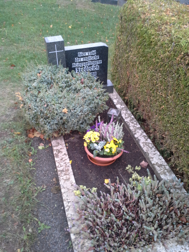
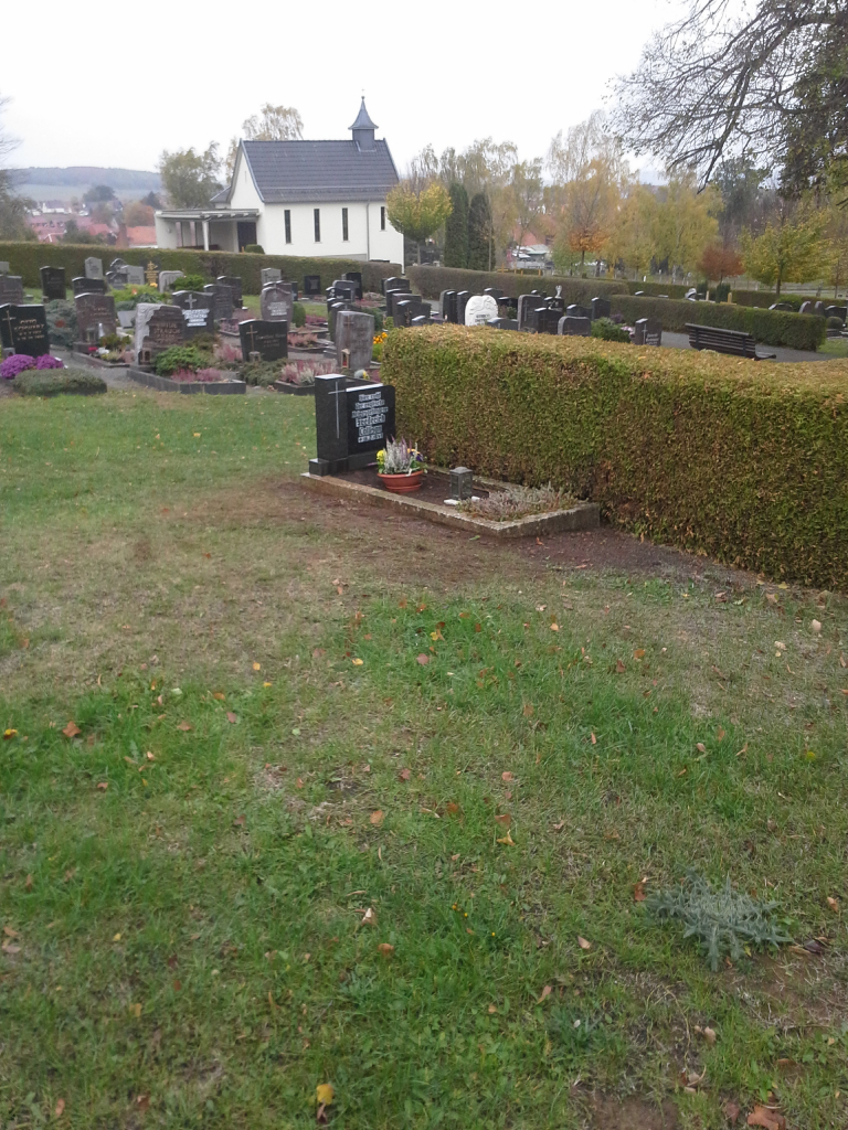
The single CWGC grave (marked by a private memorial) is located to the left of the church (if approaching from the lower car park) on the top level, directly behind a small hedge.
The cemetery address is:
Jähndorfstraße
37355 Niederorschel
Germany
GPS Co-ordinates: N 51 22 00, E 10 25 54
History information
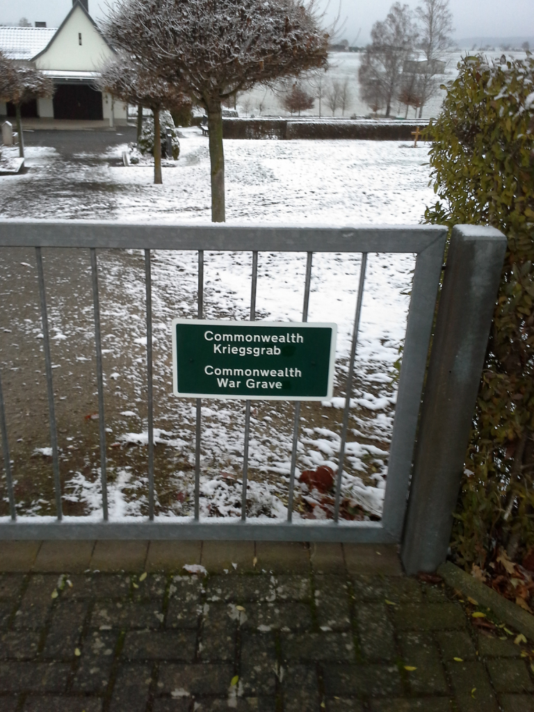
This communal cemetery contains the grave of one Commonwealth serviceman of the Second World War whose grave was rediscovered following the unification of Germany.


