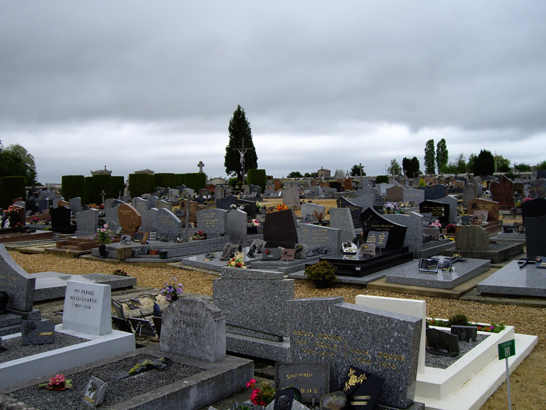
La Loupe Communal Cemetery
- Country France
- Total identified casualties 1 Find these casualties
- Region Eure-et-Loir
- Identified casualties from First World War
- GPS Coordinates Latitude: 48.47352, Longitude: 1.02076
Location information
La Loupe is a village between Paris and Le Mans on the D928 road. The nearest town is Nogent-le-Rotrou, which is 22 kilometres to the south-west. The Communal Cemetery is near the centre of the village. The single Commonwealth war grave is at the end of a row of French Military graves, just inside the main cemetery entrance.


