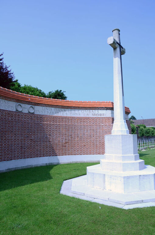
Hazebrouck Communal Cemetery
- Country France
- Total identified casualties 930 Find these casualties
- Region Nord
- Identified casualties from First & Second World War
- GPS Coordinates Latitude: 50.71629, Longitude: 2.5325
Location information
Hazebrouck is a town lying about 56 kilometres south-east of Calais and is easily reached from Calais or Boulogne. The Communal Cemetery is on the south-western outskirts of the town.
From the Grand Place in Hazebrouck follow the D916 Bethune road. Traverse the first set of traffic lights and the Communal Cemetery will be found 200 metres further along on the right hand side of the road, as indicated by a signpost. The War Graves Plot lies immediately inside the entrance to the cemetery.
Visiting information
There are three entrances into the cemetery; one the main civil cemetery entrance, Cimetiere St Eloi, the other entrances (to the side of the cemetery), are close to the 4 CWGC (Commonwealth War Graves Commission) plots. Entrances are signposted and allow access to the CWGC plots.
PARKING
The closest parking to the CWGC plots is along both sides of a side street approximately 20 metres from the side entrance into the cemetery, rue d’Aire. There is a dedicated disabled parking space on the side street.
The ground is flat and firm with a tarmac surface.
If entering through the main entrance, from rue de la Paix, there are parking spaces, including dedicated disabled parking bays, opposite the main entrance to the cemetery (opposite side of the road). The distance from this entrance to the CWGC plots is approximately 200 metres on flat tarmac or gravel topped paths.
Additional parking in a dedicated car park is available on rue de Therouanne, on the opposite side of the road from the civil cemetery and access is through a metal security door, approximately 800 mm wide.
ACCESS LAYOUT AND MAIN ENTRANCE
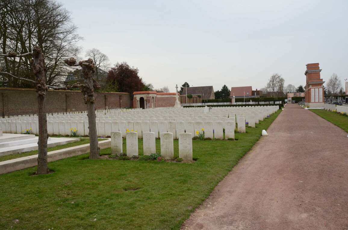
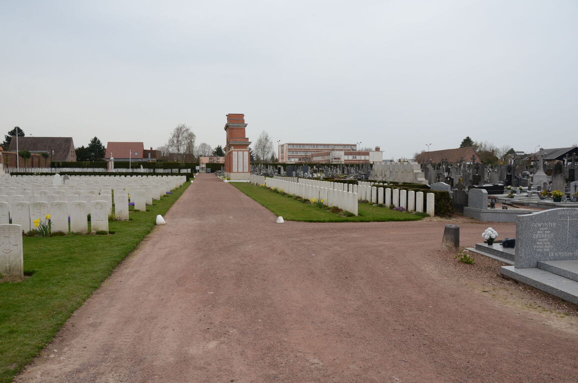
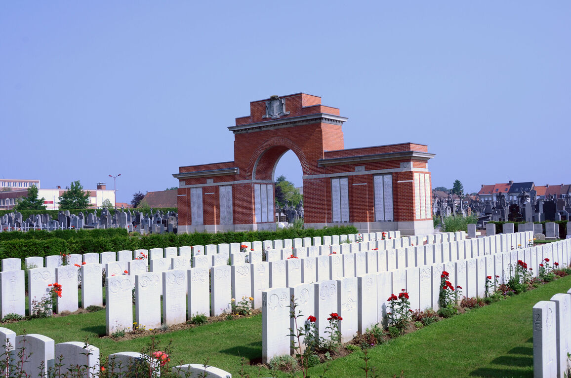
It is a large civil cemetery with multiple plots containing war graves, both French and Commonwealth. The CWGC sections are concentrated to the left of the side entrance gate from rue d’Aire, and to the right of the entrance from rue de Therouanne. If entering through the main gate, the plots are to the rear of the cemetery, at the end of the main axis path through the civil cemetery and through the archway of the town war memorial in front of the Cross of Sacrifice.
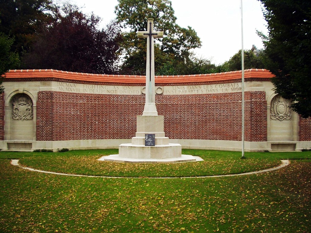
There is a large brick and stone memorial wall behind the Cross of Sacrifice. On each end of the wall are shelters buildings. Inside the left-hand shelter is the Register Box, mounted into the internal wall. Two steps lead up to the inside of the shelter buildings. There are stone kerbs in front of the Cross of Sacrifice and memorial wall. The kerbs are level with the grass.
The Stone of Remembrance is located at the left side of the cemetery, close to the side entrance from rue d’Aire.
There are multiple seating areas around the cemetery, with stone bench seating areas built into alcoves at the ends of the memorial wall and inside the left shelter building.
There are stone paving slabs in front of the external seats built into the memorial wall.
The internal paths around the cemetery are flat and firm, some are topped with rust coloured loose gravel. The others are grass, flat and firm.
ALTERNATIVE ACCESS
The alternative entrance is at the side is approximately 50 metres from the CWGC plots, there are parking spaces along the street. This is the closest accessible entrance to the war graves.
ADDITIONAL INFORMATION
The cemetery is open during working hours
History information
From October 1914 to September 1917, casualty clearing stations were posted at Hazebrouck. The Germans shelled and bombed the town between September 1917 and September 1918 making it unsafe for hospitals, but in September and October 1918, No.9 British Red Cross Hospital was stationed there.
Commonwealth burials began in the communal cemetery in October 1914 and continued until July 1918. At first, they were made among the civilian graves, but after the Armistice these earlier burials were moved into the main Commonwealth enclosure.
During the Second World War, Hazebrouck was garrisoned and was on the western flank of the area occupied by the British Expedionary Force until May 1940. The cemetery was used again, mainly for the burial of those killed in late May 1940 during the fighting which covered the retreat of the BEF to the Dunkirk-Nieuport perimeter
The cemetery now contains 877 Commonwealth burials of the First World War (17 of them unidentified) and 86 from the Second World War (20 of them unidentified).
The Commonwealth plot, for the construction of which the town of Hazebrouck contributed 20,000 francs, was designed by Sir Herbert Baker.


