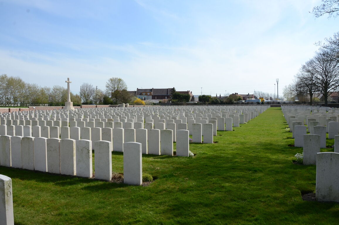
Philosophe British Cemetery, Mazingarbe
- Country France
- Total identified casualties 1724 Find these casualties
- Region Pas de Calais
- Identified casualties from First World War
- GPS Coordinates Latitude: 50.47092, Longitude: 2.74168
Location information
Philosophe lies between Bethune and Lens.
From the Lens-Bethune road (N43), follow the D165E road for 400 metres to a right turn. The cemetery lies to the left 100 metres along this track. The first CWGC sign for the cemetery is at the junction of the N43 and the D165E.
Visiting information
ARRIVAL
The cemetery is signposted.
The cemetery is located off a single vehicle width gravel track, branching off the main road, Rue Alexandre Dumas, on the eastern side of Mazingarbe.
PARKING
It is possible to park in a large gravelled area immediately in front of the cemetery.
The ground is flat and firm with an earth, gravel and grass topped surface.
ACCESS LAYOUT AND MAIN ENTRANCE
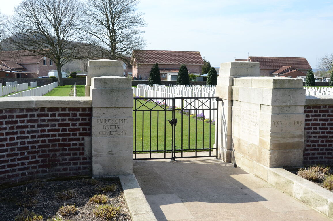
The main entrance has a mid-level, waist height, black metal gate (2 sections), approximately 1.5 metres wide in total. The gate has a central up and down locking handle halfway down the gate and is pulled open (outwards) from the cemetery. There is a metal gate stop in the centre of the opening in the paving.
There is a paved ramp with a shallow incline up to the gate from the external ground level (a 5-centimetre incline uphill). The paving carries through the gate into the cemetery and is level with the grass inside.
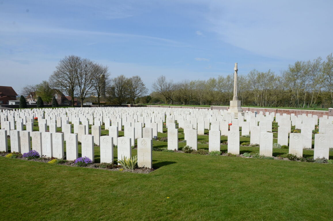
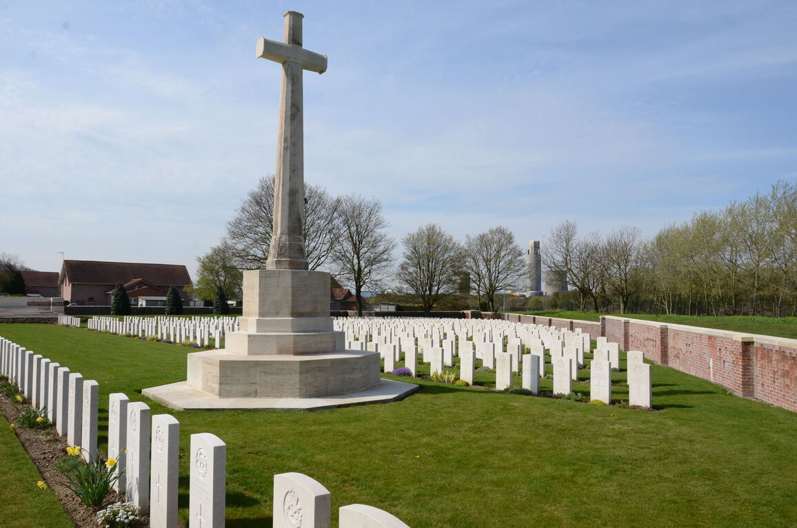
The Cross of Sacrifice is to the right of the main entrance.
The Stone of Remembrance is on a raised stone platform accessed by 7 stone steps surrounding the Stone, at the rear of the cemetery in line with the Cross of Sacrifice.
The Register Box is mounted on the right-hand gate post at the main entrance, viewed from inside the cemetery.
There are two seating areas with stone benches surrounded by paving level with the grass on either side of the cemetery near the rear wall.
The internal paths are grass, the ground is firm and undulating in patches.
ALTERNATIVE ACCESS
There is no alternative access into the cemetery.
ADDITIONAL INFORMATION
The cemetery is permanently open.
History information
The cemetery was started in August 1915. In 1916 it was taken over by the 16th (Irish) Division, who held the Loos Salient at the time, and many of their dead were brought back to the cemetery from the front line. Succeeding divisions used the cemetery until October 1918, and men of the same Division, and often the same battalion, were buried side by side.
After the Armistice, this cemetery was one of those used for the concentration of isolated graves from the Loos battlefield. The bodies of 41 men of the 9th Black Watch were brought from positions a little West of Loos, and those of 340 officers and men of other Regiments from different points in the communes of Cambrin, Auchy, Vermelles, Halluch and Loos.
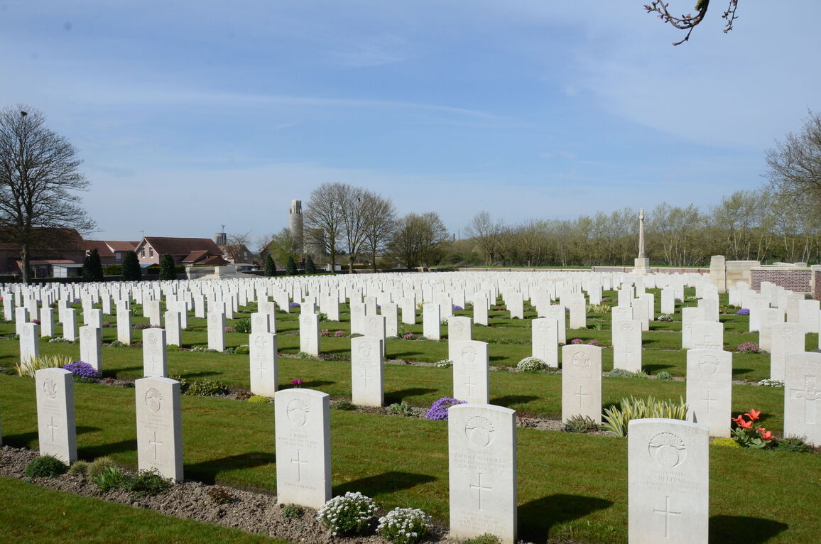
There are now 1,996 Commonwealth burials of the First World War in the cemetery, 277 of them unidentified.
The cemetery was designed by Sir Herbert Baker.


