Erquennes Communal Cemetery
- Country Belgium
- Total identified casualties 1 Find these casualties
- Region Hainaut
- Identified casualties from First World War
- GPS Coordinates Latitude: 50.36106, Longitude: 3.79568
Location information
The village of Erquennes is located south-east of Mons off the N549. From the E42 motorway turn off at junction 26 and onto the N552 direction Dour. Follow the N552 to the town of Dour where the road number changes to the N549. Follow the N549 through the village of Athis along to the village of Fayt-Le-Franc. In the village turn left along the N555, direction Blaugies, and then take the first turning right into rue A Deschamps towards Erquennes. In the village take the first turning left into rue derriere l'Eglise and the cemetery is along on the left.
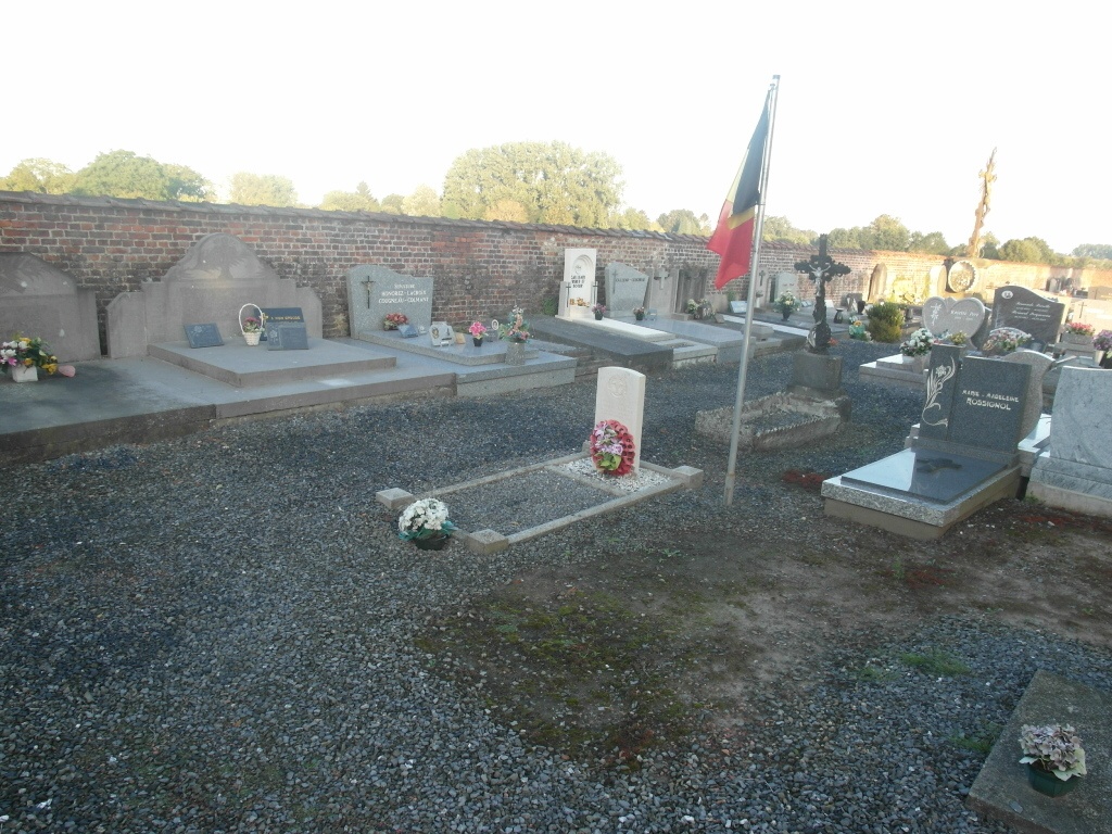
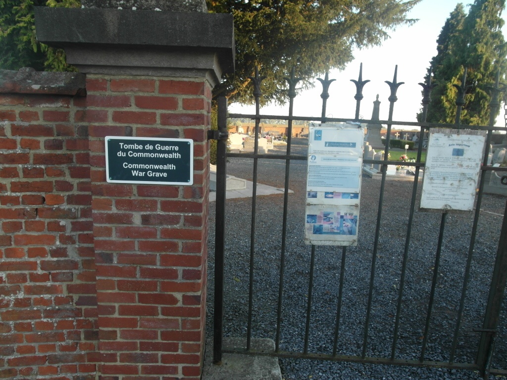
The graves are located through the main entrance and to the left at the front of the cemetery.
History information
Erquennes Communal Cemetery contains one Commonwealth burial of the First World War.