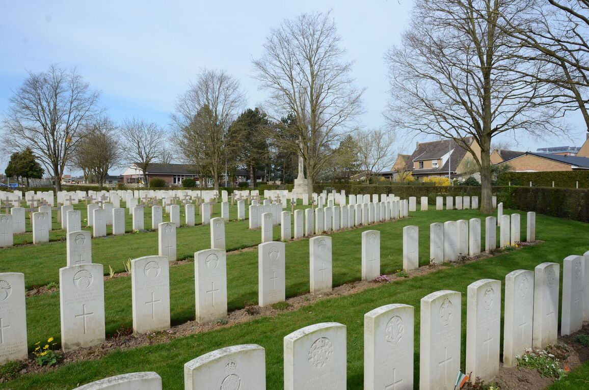
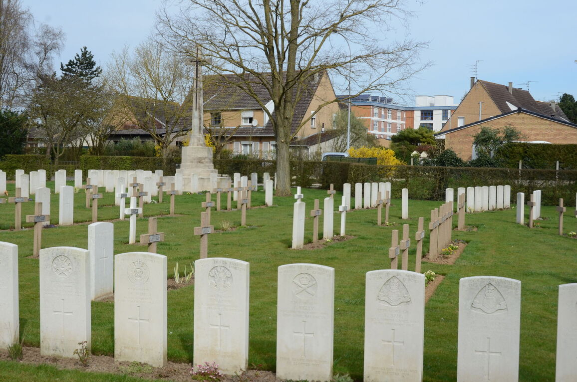
St. Patrick's Cemetery, Loos
- Country France
- Total identified casualties 542 Find these casualties
- Region Pas de Calais
- Identified casualties from First World War
- GPS Coordinates Latitude: 50.45661, Longitude: 2.78888
Location information
From the National Road (N43 Lens-Bethune), turn onto the D165 towards Loos-en-Gohelle following signs for Wingles and La Bassee. Before reaching Loos-en-Gohelle village square turn left then first left again. The cemetery is located in the street; 'Rue Alexandre Maniez'.
Visiting information
ARRIVAL
The cemetery is signposted.
PARKING
It is possible for 1 vehicle to park within 2 metres of the main entrance, next to the pedestrian footpath at the side of the main road.
There is a car park for multiple vehicles to the left of the main cemetery entrance, approximately 70 metres west of the cemetery, just beyond a pedestrian crossing, on Chemin de l’Eglise. The ground surface is flat and firm and there is a tarmac surfaced pavement and pedestrian crossings between the parking area and the main entrance. It is also possible to park on Rue Jean Leroy, near the service entrance at the rear of the cemetery.
ACCESS LAYOUT AND MAIN ENTRANCE
The cemetery is built along the edge of a main road, with the entrance adjacent to a residential property.
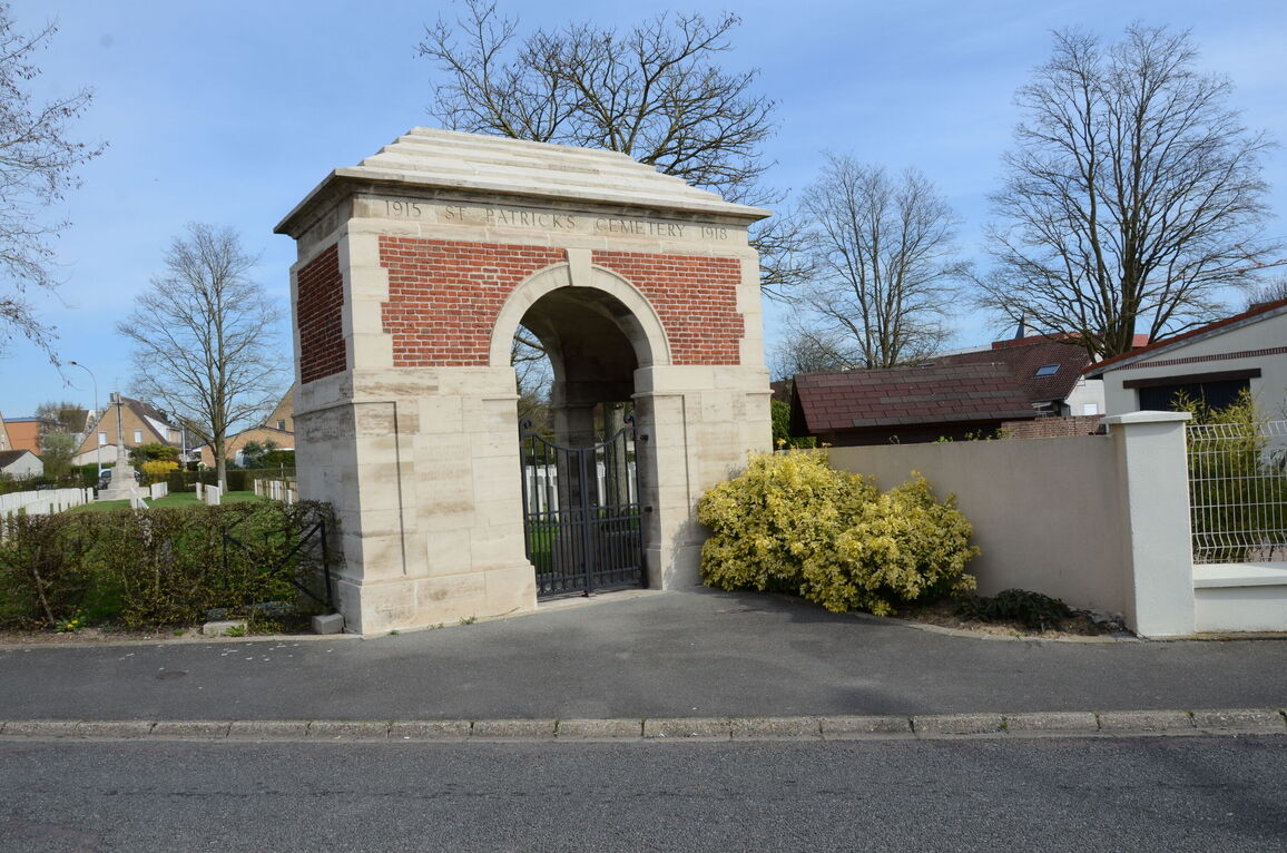
The main entrance to the cemetery is through a memorial shelter building with an arched entrance located on the far-right hand side corner of the cemetery. The area in front of the gate is tarmac and level with the paving at the entrance gate.
There is a pair of 2-metre high black metal gates, each approximately 750 mm wide. There is a latched handle on the right-side gate. The left side gate can be opened by lifting a vertical latch close to ground level. There is a metal gate stop in the middle of the archway paving. The gates open inwards. The internal paving is level with the grass inside the cemetery.
There are stone benches on either side inside the shelter.
The Register Box is mounted into the wall of the shelter above the stone bench on the left side when viewed from inside the cemetery.
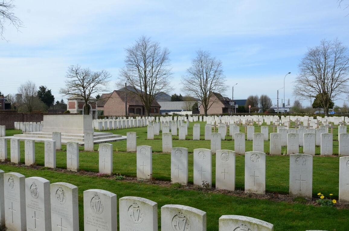
The Stone of Remembrance is located to the right of the entrance. The Cross of Sacrifice is located to the rear of the cemetery in line with the entrance shelter.
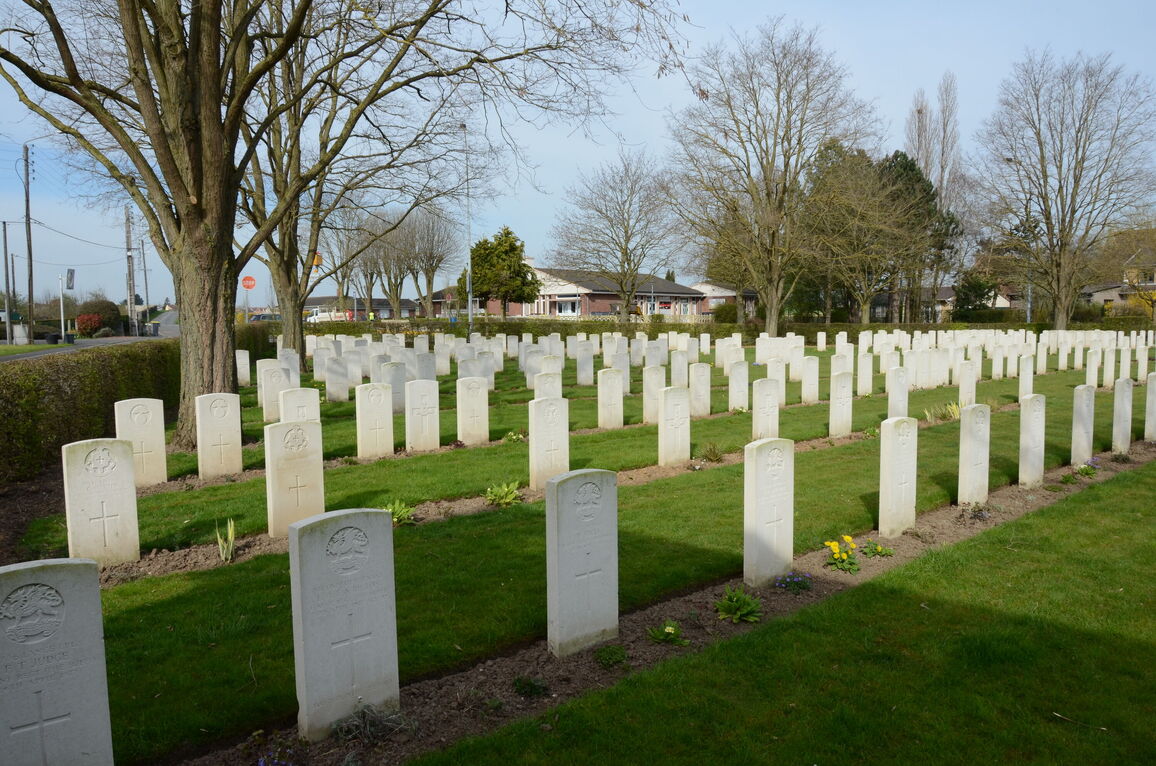
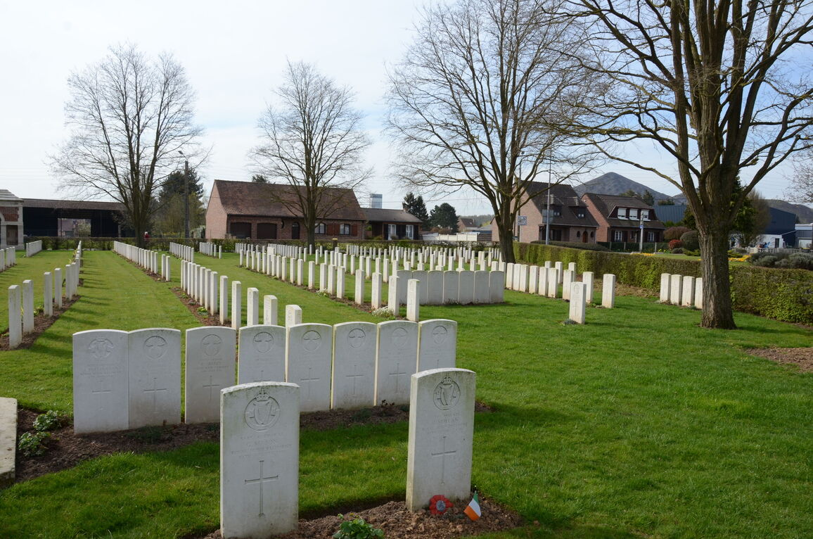
All internal cemetery paths are grass, the ground is flat and firm.
ALTERNATIVE ACCESS
At the rear of the cemetery, the opposite side from the main entrance and close to the Cross of Sacrifice is a service entrance with a 1.5-metre-wide black metal gate. There is a tarmac footpath alongside Rue Jean Leroy, with a narrow kerb approximately 50 mm high between the footpath and a concrete path leading to the service gate. This path is uneven and cracked in places.
The gate is waist height with a horizontal latch on the left side of the gate. The gate opens into the cemetery and opens directly into the burial area.
ADDITIONAL INFORMATION
The cemetery is permanently open.
History information
St. Patrick's Cemetery was begun during the Battle of Loos by French and British troops, and used in 1916 very largely by the units of the 16th (Irish) Division. It was closed in June 1918, but a small number of graves were brought into it after the Armistice from the battlefields between Loos and Hulluch. The irregular arrangement of the rows is due to the conditions under which the burials were carried out.
There are now 583 Commonwealth burials of the 1914-18 war commemorated in this cemetery. Of these, 41 are unidentified and the graves of 23, destroyed by shell fire, are now represented by special memorials. There are also 54 French burials here.
The cemetery covers an area of 3,001 square metres and is enclosed by a brick wall.


