Ecoivres Military Cemetery, Mont-St. Eloi
- Country France
- Total identified casualties 1730 Find these casualties
- Region Pas de Calais
- Identified casualties from First World War
- GPS Coordinates Latitude: 50.34215, Longitude: 2.68709
Location information
Mont-St. Eloi is a village in the Department of the Pas-de-Calais, 8 kilometres north-west of Arras. Ecoivres is a hamlet lying at the foot of the hill, to the south-west and about 1.5 kilometres from Mont-St. Eloi. The cemetery is on the D49 road.
Visiting information
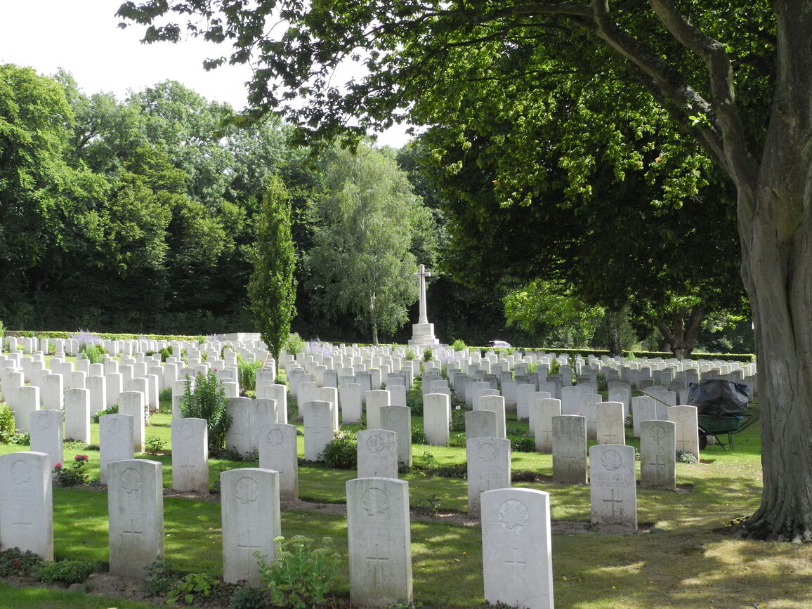
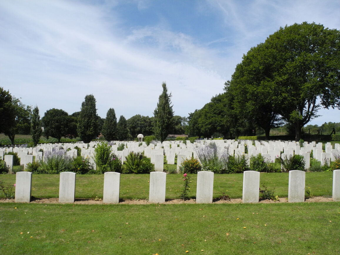
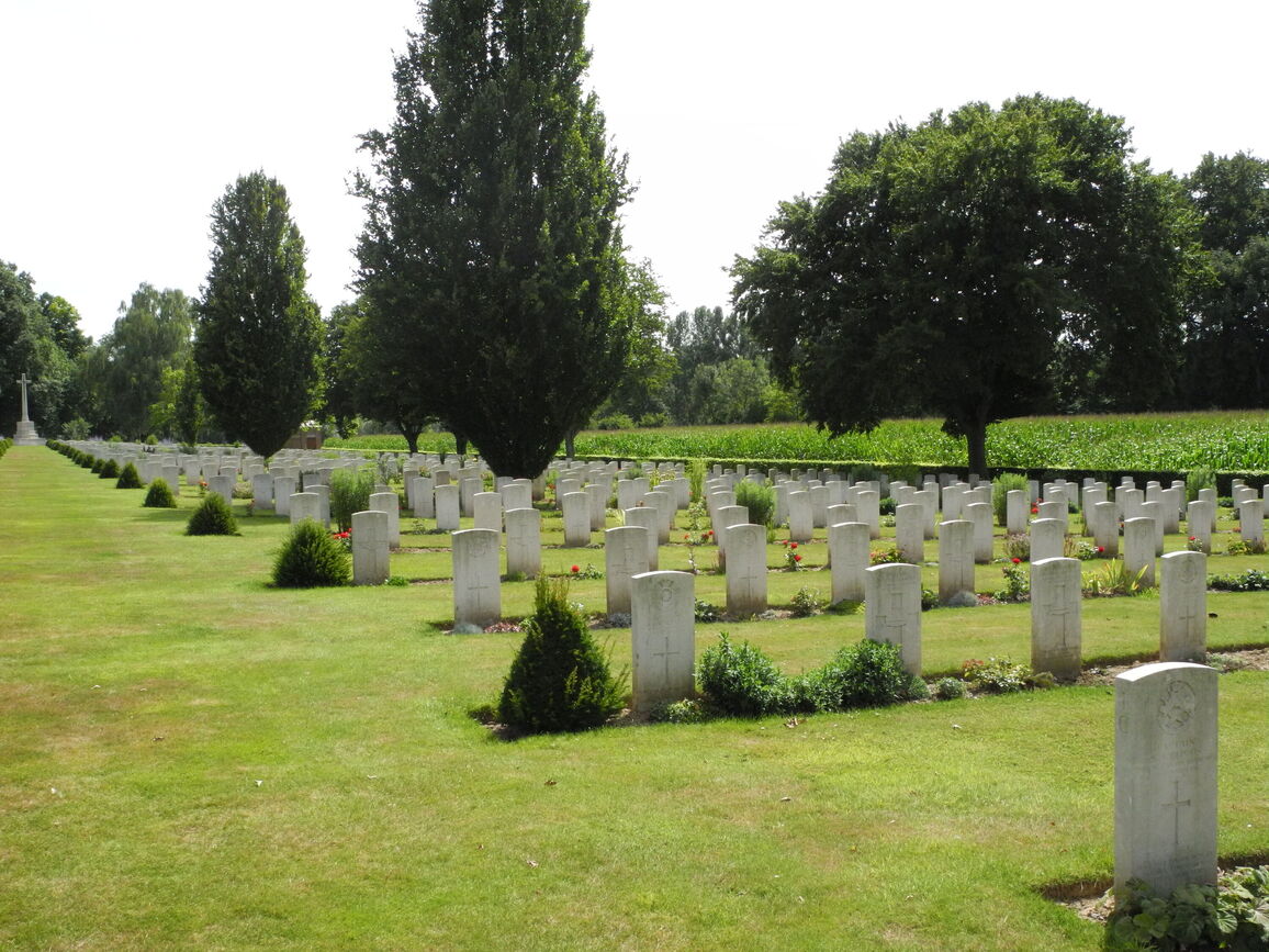
A large rectangular cemetery with hedges surrounding the burial area. The burial area is at a lower level than the surrounding roads.
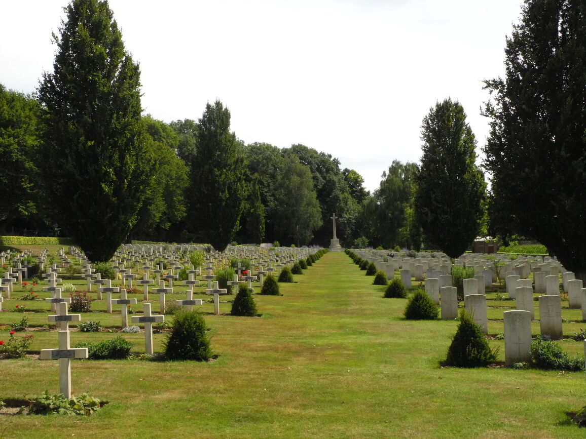
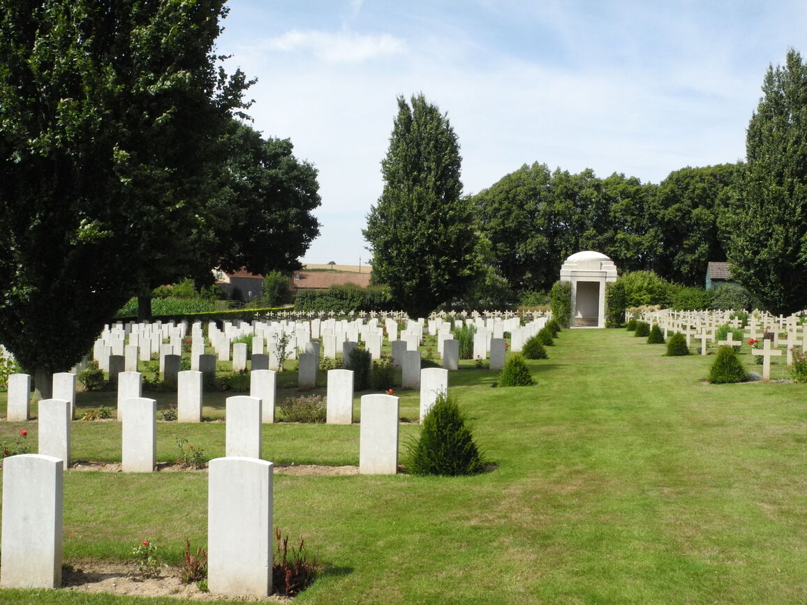
The CWGC cemetery is connected to the civil cemetery. There are French and Commonwealth casualties buried alongside each other.
ARRIVAL
The cemetery is signposted.
PARKING
There is a parking area towards the top end of the cemetery, next to the civil Cemetery, on Mont-Saint-Eloi (D49). There is off-street parking for the cemetery in addition to a gravel topped parking area accessed off the main road adjacent to a bus shelter.
From the parking area it is possible to enter the civilian section and access the CWGC plot.
The ground is flat and firm with a red gravel topped surface.
There is a gravel maintenance access track at the bottom of the cemetery close to the main entrance. It is possible to park off the road on this track but there is no turning space at the end of the track.
ACCESS LAYOUT AND MAIN ENTRANCE
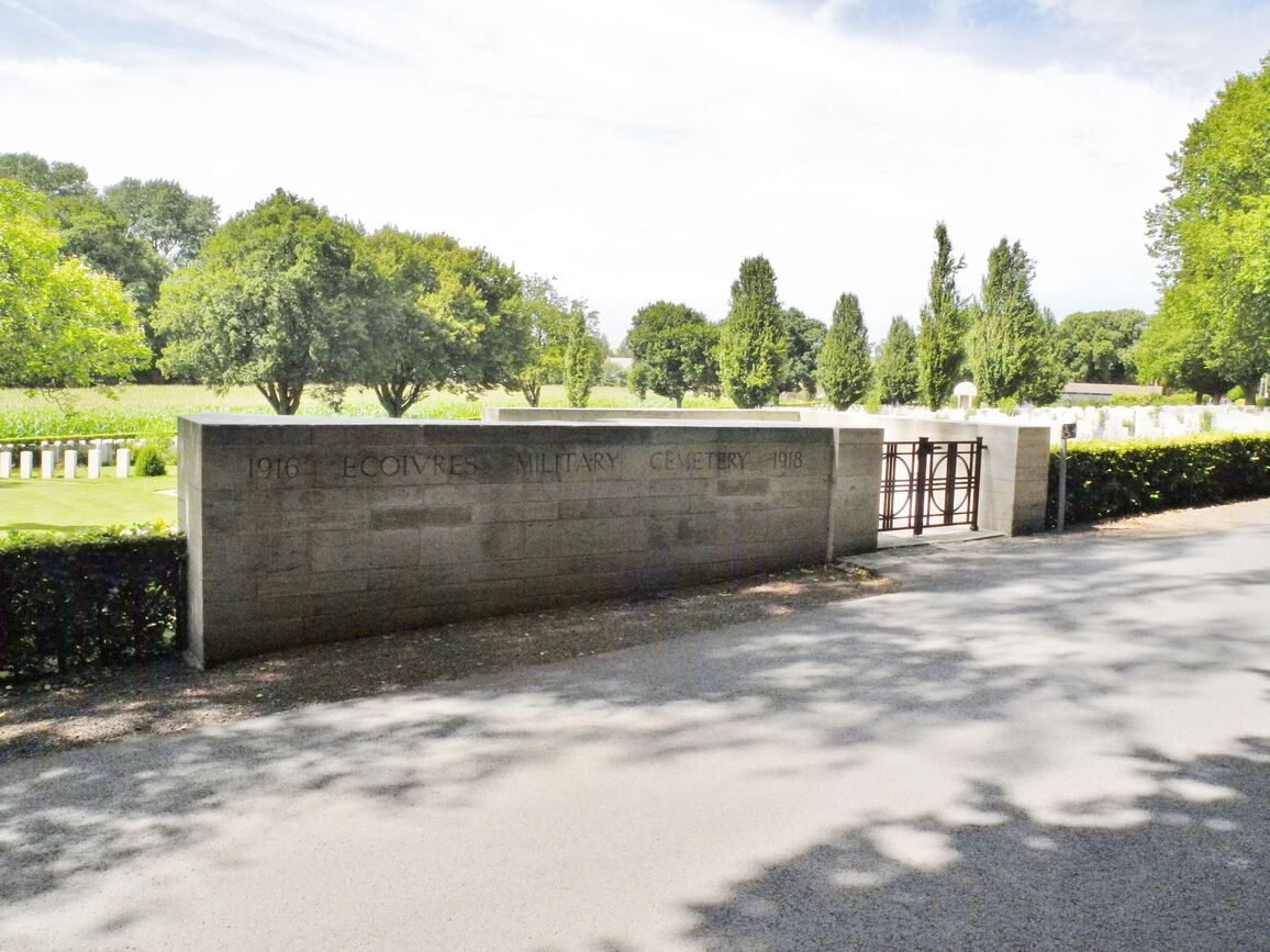
The main gate into the CWGC cemetery is at the bottom end of the cemetery, off of Route de Maroeuil. The road is narrow and the entrance is located approximately 350 metres from the parking areas. It is not advisable to park alongside the cemetery boundary.
There is a gravel strip approximately 1 metre wide between the road edge and the boundary hedge along the length of Route de Maroeuil.
The main entrance is a marked by a stone boundary wall with a two leaf, black metal mid-level, thigh height gate, approximately 1.5 metres wide. The right-side section is opened by turning a looped handle clockwise, and the gate opens inwards onto a paved stone platform. Five stone steps lead down to another stone platform. There is a dirt strip, approximately 1.2 metres wide, between the platform and the grass inside the cemetery. The platform is approximately 150 mm above the grass level.
The Cross of Sacrifice is surrounded by circular ornamental paved strip, located at the bottom end of the CWGC plot. There are five stone steps leading down from the entrance to the Cross. There are four stone steps leading from the Cross to a shelter building at the far end of the site, in line with the Cross and main entrance. There are stone seating areas inside the shelter building.
There is an additional shelter building at the top of the site, close to the French War graves. There is a step up from each of the three sides opening into the cemetery. The step heights on each side vary from 75 mm to 150 mm up to the interior paving. There is a stone bench on the rear wall of the building.
The Register Box is built into a wall to the left of the steps on the lower platform at the main entrance.
There are stone benches located along the left and sides of the cemetery close to the main entrance.
All internal paths are grass, the ground is firm and has a gentle slope from the right side of the cemetery adjacent to the road towards the left side of the cemetery.
ALTERNATIVE ACCESS
There is a step free access to the cemetery at the top of the site, at the junction of the civil cemetery and the CWGC cemetery. There is a paved pathway from the side of the road, near the CWGC storage building. The paved area leads from the road into the cemetery. Access from the car parking at the entrance to the civil cemetery into the CWGC cemetery is also possible, via gravel pathways leading to the cemetery boundary.
There is step free access into the cemetery at the bottom of the site from the gravel maintenance track. There is a large opening in the hedge at the end of the track.
ADDITIONAL INFORMATION
The cemetery is permanently open.
History information
This cemetery is really the extension of the communal cemetery, were the French army had buried over 1,000 men. The 46th (North Midland) Division took over the extension with this part of the line in March 1916, and their graves are in Rows A to F of Plot I. Successive divisions used the French military tramway to bring their dead in from the front line trenches and, from the first row to the last, burials were made almost exactly in the order of date of death. The attack of the 25th Division on Vimy Ridge in May 1916 is recalled in Plots I and II. The 60th (2nd/2nd London) Division burials (July to October 1916) are in Plot III, Rows A to H, and Canadian graves are an overwhelming majority in the rest of the cemetery, Plots V and VI containing the graves of men killed in the capture of Vimy Ridge in April 1917.
The graves of eight men of the 51st (Highland) Division who had been buried by the 153rd Brigade in March 1916, in what became known as Bray Military Cemetery, due South of the Mount, between the hamlet of Bray and the Bois de Maroeuil, were moved after the Armistice in to Plot VIII, Row A.
Ecoivres Military Cemetery contains 1,728 Commonwealth burials of the First World War. There are also 786 French and four German war graves.
The cemetery was designed by Sir Reginald Blomfield.


