Artemps Communal Cemetery
- Country France
- Total identified casualties 0 Find these casualties
- Region Aisne
- Identified casualties from First World War
- GPS Coordinates Latitude: 49.76476, Longitude: 3.1991
Location information
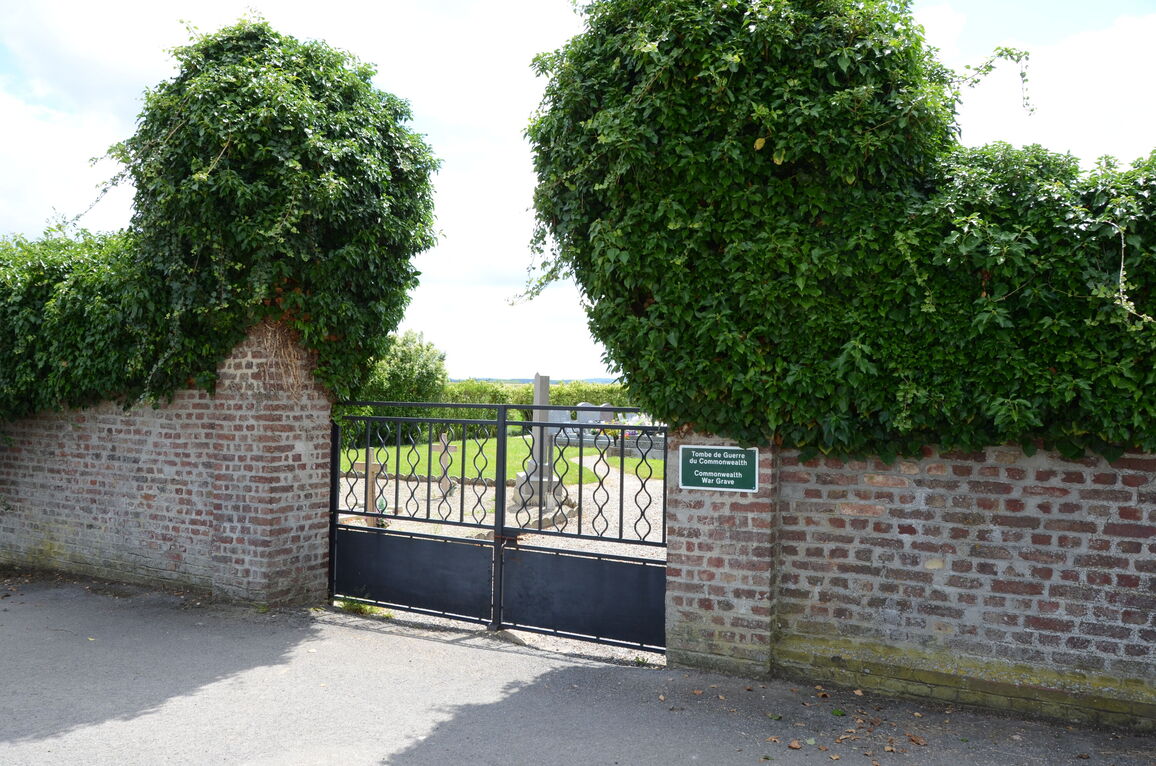
Artemps is 55 kilometres west of Laon. On entering the village, on the D32 from Seraucourt Le Grand, take the first road to the left. The Cemetery is on a small road on the right hand side (at the Calvaire).
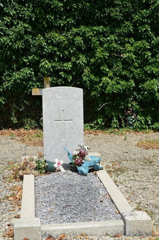
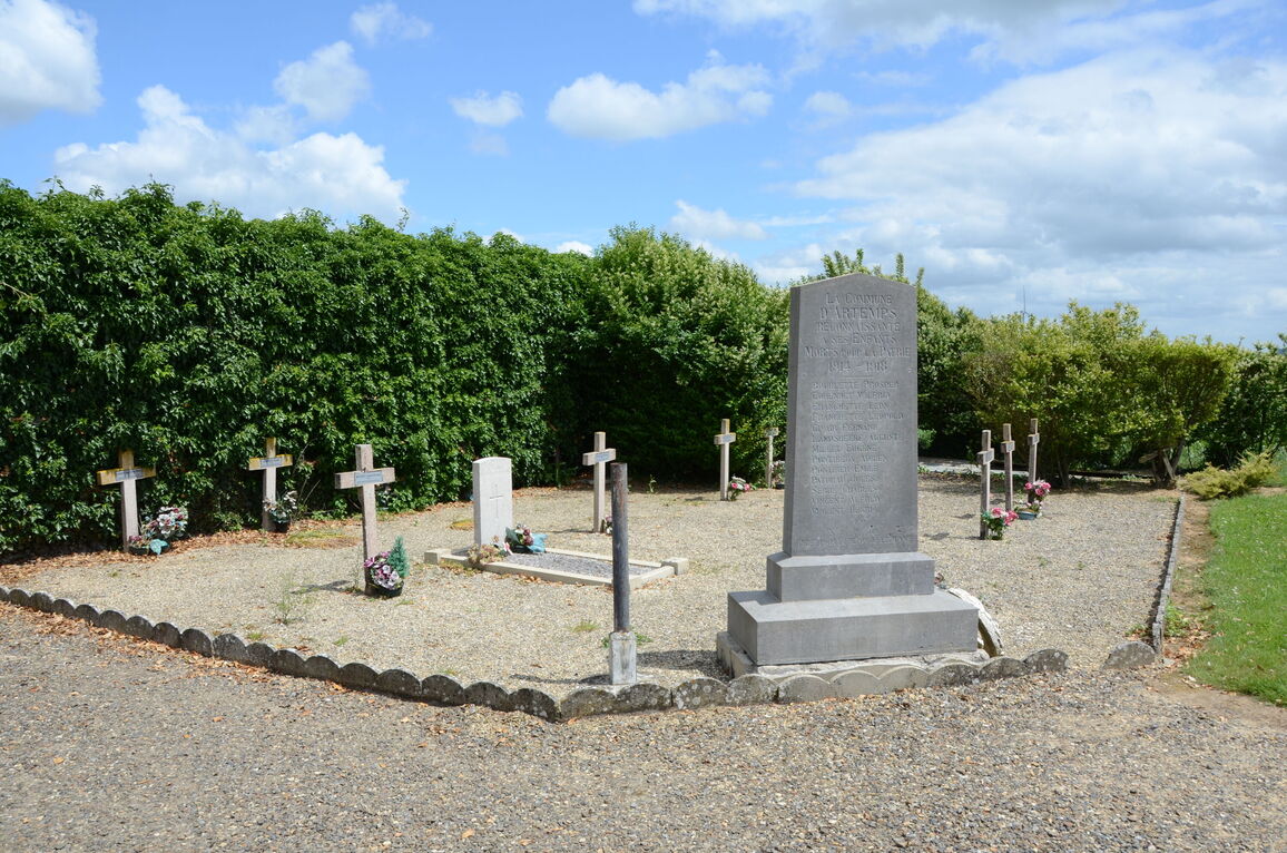
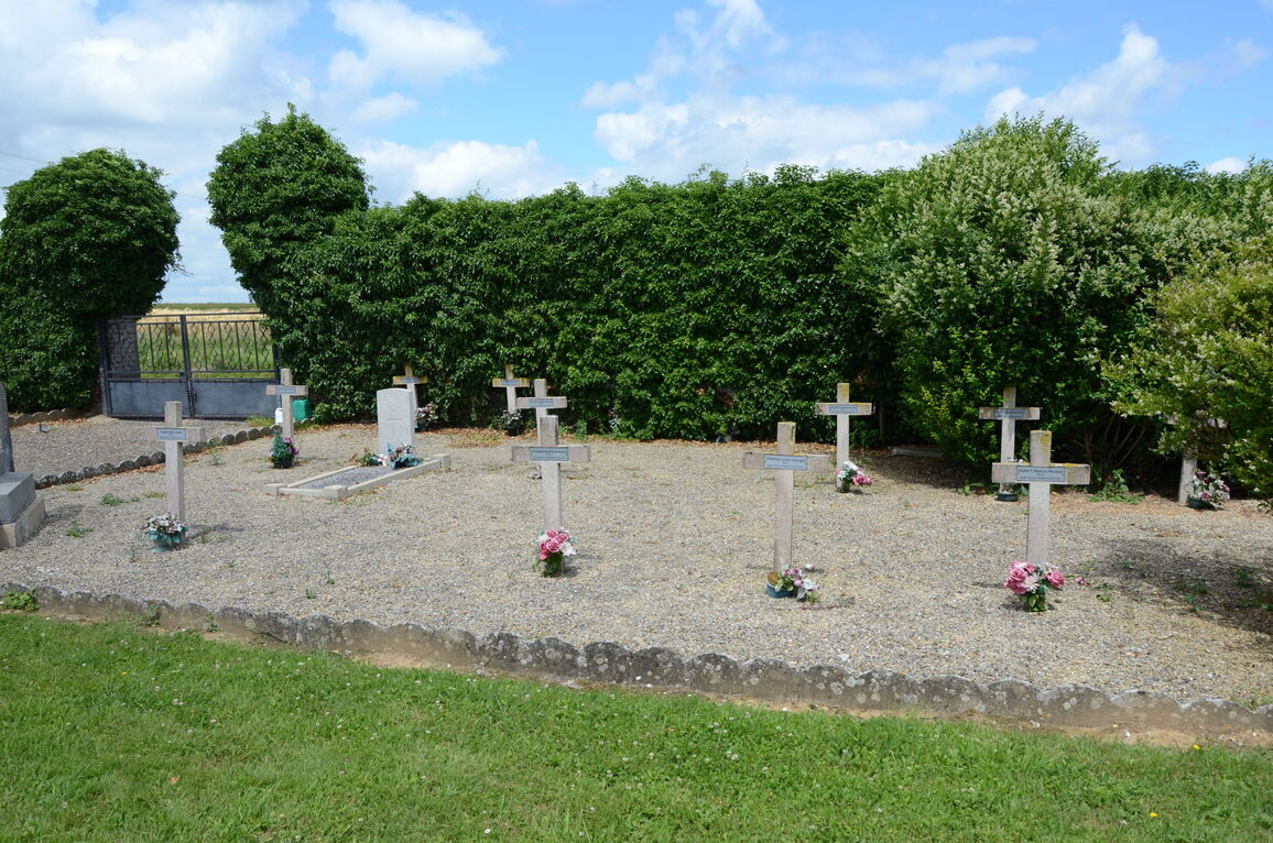
In the cemetery is the war grave of 1 unidentified soldier of the United Kingdom, which is located to the left of the entrance, in the French plot.


