Gommecourt British Cemetery No.2, Hebuterne
- Country France
- Total identified casualties 676 Find these casualties
- Region Pas de Calais
- Identified casualties from First World War
- GPS Coordinates Latitude: 50.12991, Longitude: 2.65008
Location information
Gommecourt is a village 19 kilometres south-west of Arras. The Cemetery lies just off the road (D6) between Gommecourt and Puisieux. A CWGC signpost indicating the directions to the site is situated at the junction 2 kilometres along this road. Access can also be made from the village of Hebuterne where a CWGC signpost indicates the way from the main square.
Visiting information
ARRIVAL
The cemetery is signposted.
PARKING
It is possible for 3 to 4 vehicles to park in a red gravel layby on the single lane paved track in front of the cemetery – The track runs between Rue de Bucquoy and Rue Saint-Martin (D5). There is a CWGC Cemetery Direction sign at the junction of Rue Saint-Martin and the paved track.
Parking is within 2 metres of steps going up the side of the steep grass bank along the front of the cemetery access adjacent to the layby.
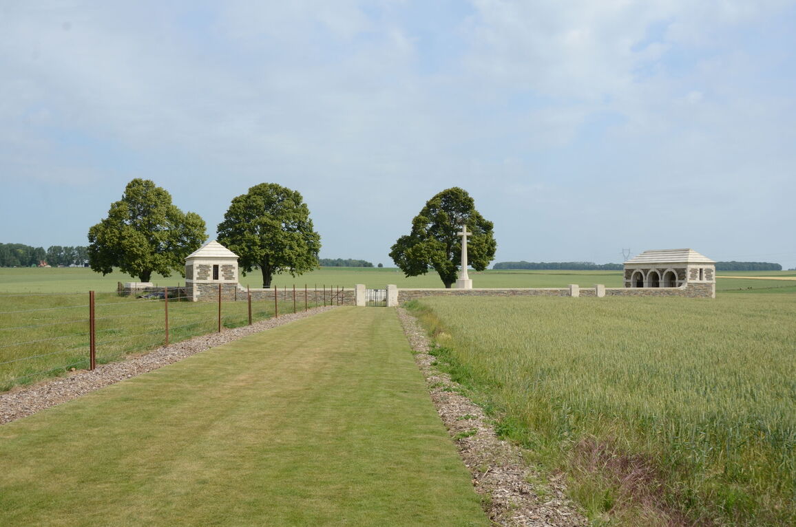
There are 9 stone steps from the parking area, leading up the side of the grass bank and opening onto a flat level grass track leading to the cemetery entrance gate.
ACCESS LAYOUT AND MAIN ENTRANCE
At the top of the stone steps there is a wide, flat grass path. The path is approximately 50 metres long, from the steps to the main entrance gate.
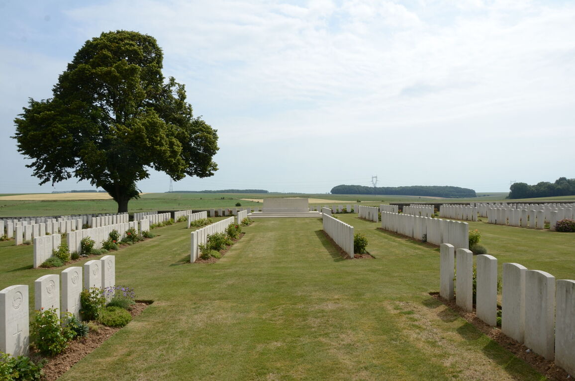
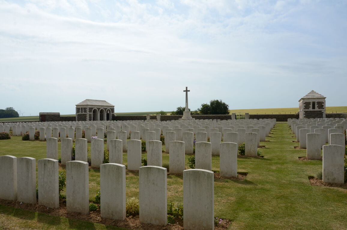
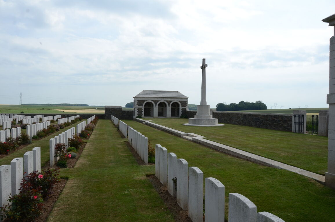
The main gate is 1.20 metre wides, black, two section, metal, mid-level (thigh height), with the opening latch on the top left corner of the right-hand opening panel of the gate. A loop handle is turned clockwise to lift the latch. The gate opens into the cemetery. There is paving under the gate between the entrance columns. The grass is level with the paving on either side. The burial area is accessed by two sets of steps down from the upper level, where the Cross of Sacrifice and Shelter buildings are located. The upper and lower levels are separated by a low-level wall with stone paving level with the grass on the upper level. There is no step-free access to the burial area from the upper part of the cemetery.
There are shelter buildings on either side of the cemetery in line with the Cross of Sacrifice. There are three archways leading from the grass for each building, with a single step up from the grass to the interior of the building.
The Register Box is built into the rear inside wall of the right-side shelter building, viewed from inside the cemetery.
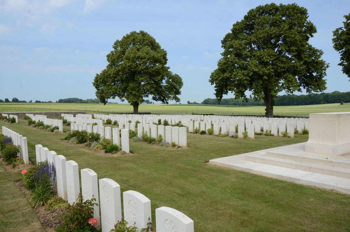
There are stone benches located inside both shelter buildings, and a stone seat area on the western side of the cemetery, opposite the Stone of Remembrance, located midway down the eastern side of the cemetery.
All internal cemetery paths are grass, the ground is flat and firm.
ALTERNATIVE ACCESS
There is a grass sloped pathway adjacent to the steps at the front of the cemetery access where it is possible to bypass the steps. The gradient is steep and can be slippery when wet.
ADDITIONAL INFORMATION
The cemetery is permanently open.
History information
Hebuterne village remained in Allied hands from March 1915 to the Armistice, although during the German advances of the summer of 1918, it was practically on the front line. Gommecourt and Gommecourt Wood were attacked by the 56th (London) and 46th (North Midland) Divisions on 1 July 1916 with only temporary success, but the village was occupied by the 31st and 46th Divisions on the night of 27-28 February 1917, remaining in Allied hands until the Armistice. Gommecourt was later "adopted" by the County Borough of Wolverhampton.
Gommecourt British Cemeteries No.1, No.2, No.3 and No.4 were made in 1917 when the battlefields were cleared. No.2 originally contained 101 graves of 1 July 1916, almost all of the 56th Division, which form Plot I of the cemetery as it is today. After the Armistice, graves from the neighbouring battlefields were added, plus the following:-
GOMMECOURT BRITISH CEMETERY No.1 was 100 metres North-West of No.2. It contained the graves of 107 soldiers from the United Kingdom, mainly of the 56th Division, who fell on the 1st July, 1916.
GOMMECOURT BRITISH CEMETERY No.3 was at the South-West corner of the village. It contained the graves of 117 soldiers from the United Kingdom, mainly of the 56th Division, who fell on the 1st July, and the 12th November, 1916.
GOMMECOURT BRITISH CEMETERY No.4 was 50 metres South of No.1. It contained the graves of 70 soldiers from the United Kingdom, largely of the 56th Division, who fell on the 1st July and the 12th November, 1916, and at the end of February, 1917.
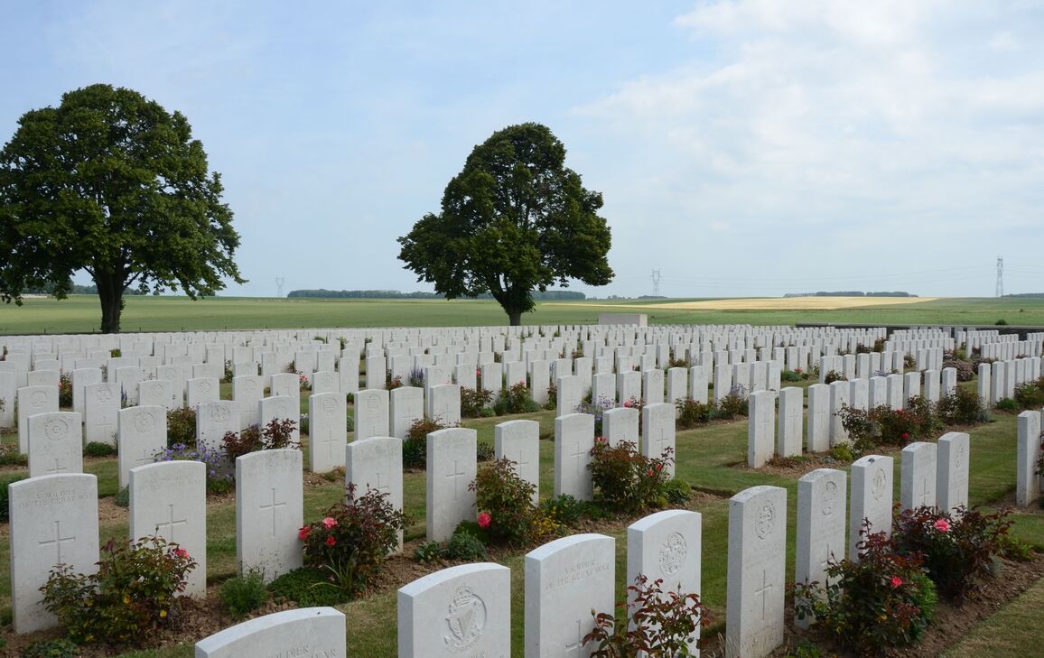
Gommecourt British Cemetery No.2 now contains 1,357 First World War burials and commemorations. 682 of the burials are unidentified but there are special memorials to 33 casualties known or believed to be buried among them.
The cemetery was designed by Sir Reginald Blomfield.


