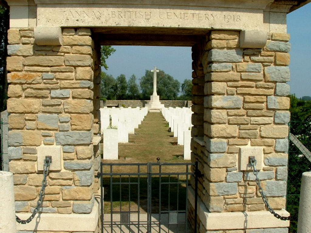
Tannay British Cemetery, Thiennes
- Country France
- Total identified casualties 380 Find these casualties
- Region Nord
- Identified casualties from First & Second World War
- GPS Coordinates Latitude: 50.63785, Longitude: 2.4958
Location information
The village of Thiennes is about 8 kilometres east of Aire-sur-la-Lys, which is a town found on the N43 between Bethune and St. Omer.
Leave Thiennes on the D122, heading east towards Haverskerque. Cross over the canal and continue towards Tannay, which is a hamlet on this road. The Cemetery can be found on the right hand side of this road and access to the Cemetery is gained by passing along a 300 metre track in front of a farm house. The Cemetery is on the left immediately after the farm.
History information
It was not until the German offensive of April 1918, by which Merville was overwhelmed and the German line brought past it along the Lys nearly as far as St. Venant, that Thiennes became a place of British burials. On the 10th of that month the first death occurred in the 13th Field Ambulance (belonging to the 5th Division) during its service at Tannay, and thenceforward until the first week in August 5th Division units carried out almost all the burials in Tannay British Cemetery. Row D of Plot II contains only men of the 1st East Surreys who died in May; Rows D and E of Plot IV only men of the 2nd K.O.S.B. who died on the 28th (or in one case the 30th) June; and Row G of Plot IV only men of the 14th Royal Warwicks who died on the 8th July. In Rows C, D and E of Plot V the 61st (South Midland) Division made the majority of the graves, in the middle weeks of August.
Thiennes saw fierce fighting once again in 1940 when it was at the southern end of the area occupied by the British Expeditionary Force during the withdrawal to Dunkirk.
The cemetery now contains 363 First World War burials and 18 from the Second World War.
The cemetery was designed by Sir Herbert Baker.


