Hawthorn Ridge Cemetery No.1, Auchonvillers
- Country France
- Total identified casualties 83 Find these casualties
- Region Somme
- Identified casualties from First World War
- GPS Coordinates Latitude: 50.08151, Longitude: 2.6492
Location information
Using the D919 from Arras to Amiens you will drive through the villages of Bucquoy, Puisieux then Serre Les Puisieux (approximately 20 kilometres south of Arras). On leaving Serre Les Puisieux, 3 kilometres further along the D919, turn left following the signs for Auchonvillers. At the crossroads in the village centre follow the signs for 'Newfoundland Park, Beaumont Hamel'. A CWGC signpost leading to Hawthorn Ridge No.1 Cemetery can be found 300 metres before Newfoundland Park.
Visiting information
ARRIVAL
The cemetery is signposted and is located close to Newfoundland Park - Beaumont Hamel, where there is a large car park for the Visitor’s Centre. There is a single lane farm track, marked by a CWGC Cemetery Direction, off the D73, approximately 600 metres northwest of the Visitors Centre. The paved farm track carries on another 600 metres and becomes a dirt and grass track which continues. There is a narrow path another 180 metres along the track, on the right side, which leads through farmland to the cemetery. This track is very muddy and difficult to traverse in wet conditions.
PARKING
There are no parking facilities at the cemetery. Access to the main entrance is via a single vehicle width track road/path. It is possible to park near the end and alongside the paved track.
The track from the parking area leads to a path which has a grass surface alongside the boundary wall of the cemetery. There are white stone boundary markers on either side of the grass pathway leading to the entrance.
ACCESS LAYOUT AND MAIN ENTRANCE
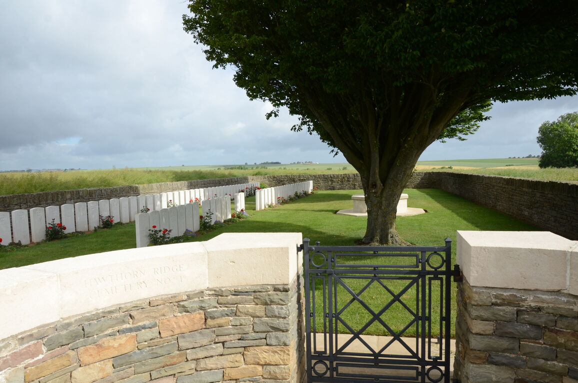
There is a stone paved area in front of the main entrance gate.
The gate is a 1 metre-wide black, metal, mid-level (thigh height) gate, with an up and down latch on the left side. The gate opens inwards into the cemetery. The paving carries under the gate and into the cemetery, level with the grass inside.
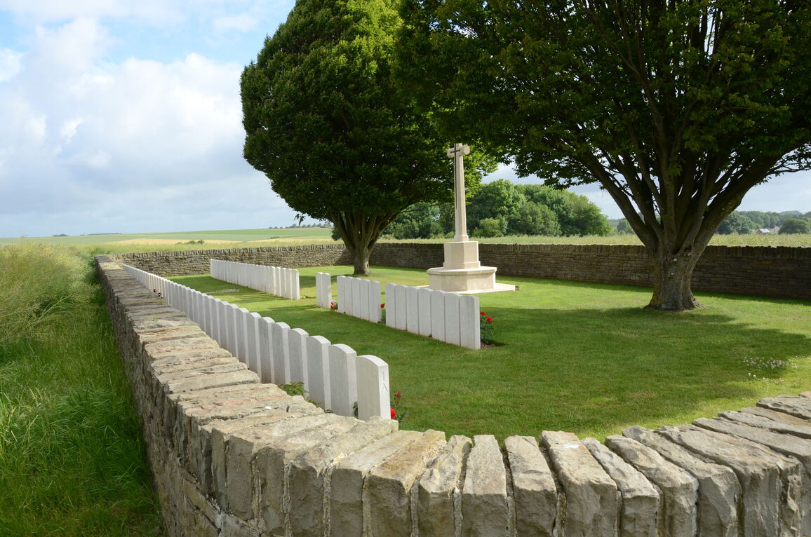
The Cross of Sacrifice is in the centre of the cemetery, in line with the gate, between two large trees.
The Register Box is inside the cemetery, mounted in the left-hand pillar at the main gate.
There is no seating in the cemetery.
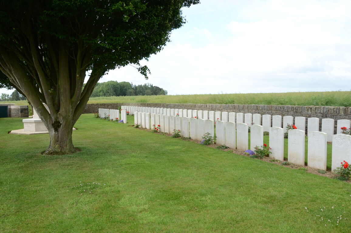
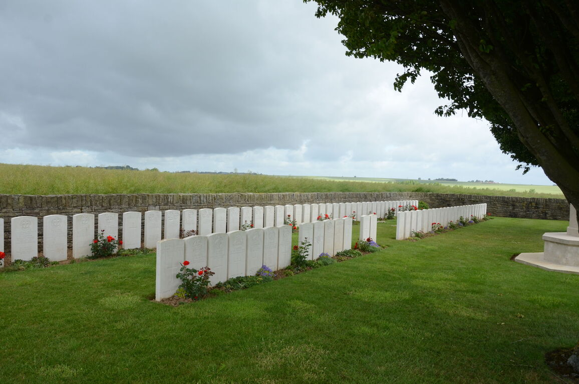
All internal paths are grass, the ground is flat and firm.
ALTERNATIVE ACCESS
There is no alternative access into the cemetery.
ADDITIONAL INFORMATION
The cemetery is in the middle of agricultural land, there are no metalled paths, tracks or roads leading to the cemetery. During or after periods of wet weather, the condition of the ground deteriorates and accessing the cemetery can be challenging,
The cemetery is permanently open.
History information
Hawthorn Ridge Cemetery No.1 was made by the V Corps, who cleared the Ancre battlefields in the spring of 1917, as V Corps Cemetery No.9.
There are now over 150, 1914-18 war casualties commemorated in this site. Of these, nearly half are unidentified. Almost all fell on the 1st July or the 13th November 1916; a few in June and July 1918.
The cemetery covers an area of 432 square metres is enclosed by a stone rubble wall.


