Borre British Cemetery
- Country France
- Total identified casualties 373 Find these casualties
- Region Nord
- Identified casualties from First & Second World War
- GPS Coordinates Latitude: 50.73005, Longitude: 2.58317
Location information
Borre is a village 3 kilometres east of Hazebrouck on the D642.
On reaching the village, turn right just before the church on the road signposted Sec Bois. The cemetery is 120 metres from the junction on the right hand side.
Visiting information
ARRIVAL
The cemetery is signposted.
PARKING
It is possible to park within 5 metres of the main entrance at the front of the cemetery on the side of the main road.
At the front of the cemetery is a layby area edged with wooden railway sleepers, the ground is firm and flat, topped with loose red gravel.
There are spaces for up to 4 vehicles to park.
ACCESS LAYOUT AND MAIN ENTRANCE
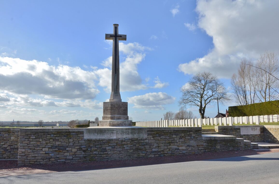
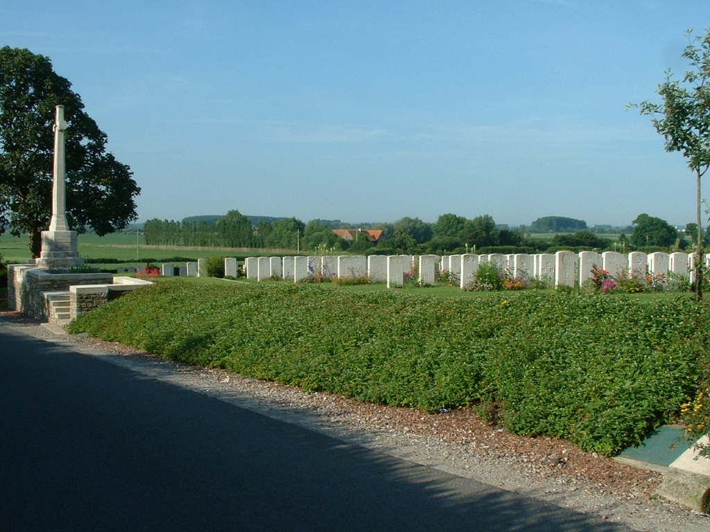
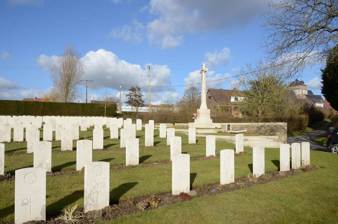
To the Right of the Cross of Sacrifice at the front of the cemetery, the main entrance has 6 stone steps from the road leading up raised grass bed bound by paving level with the grass. Two platforms where the step direction changes are part of the steps up. There is a drop off down to road level along the left side of the steps and upper platform.
There is loose gravel along the front of the cemetery between the road and entrance structure.
The Cross of Sacrifice is in the centre of the cemetery, built on the raised grass platforms at the top level of the entrance structure. There is grass bound by paving at the top of the steps. Two steps down to the left lead to another grass area in front of the Cross of Sacrifice. A further three steps down leads to the burial area. There is a 75 mm wide dirt strip between the bottom step and the grass. The edge of the paving drops down to the burial area along the bound area in front of the Cross of Sacrifice. To the right of the entrance the grounds slopes down steeply to road level.
The Register Box is mounted onto the wall to the right of the Cross of Sacrifice, approximately 300 mm above ground level.
There is a stone bench seating area on the right side of the cemetery midway down the site.
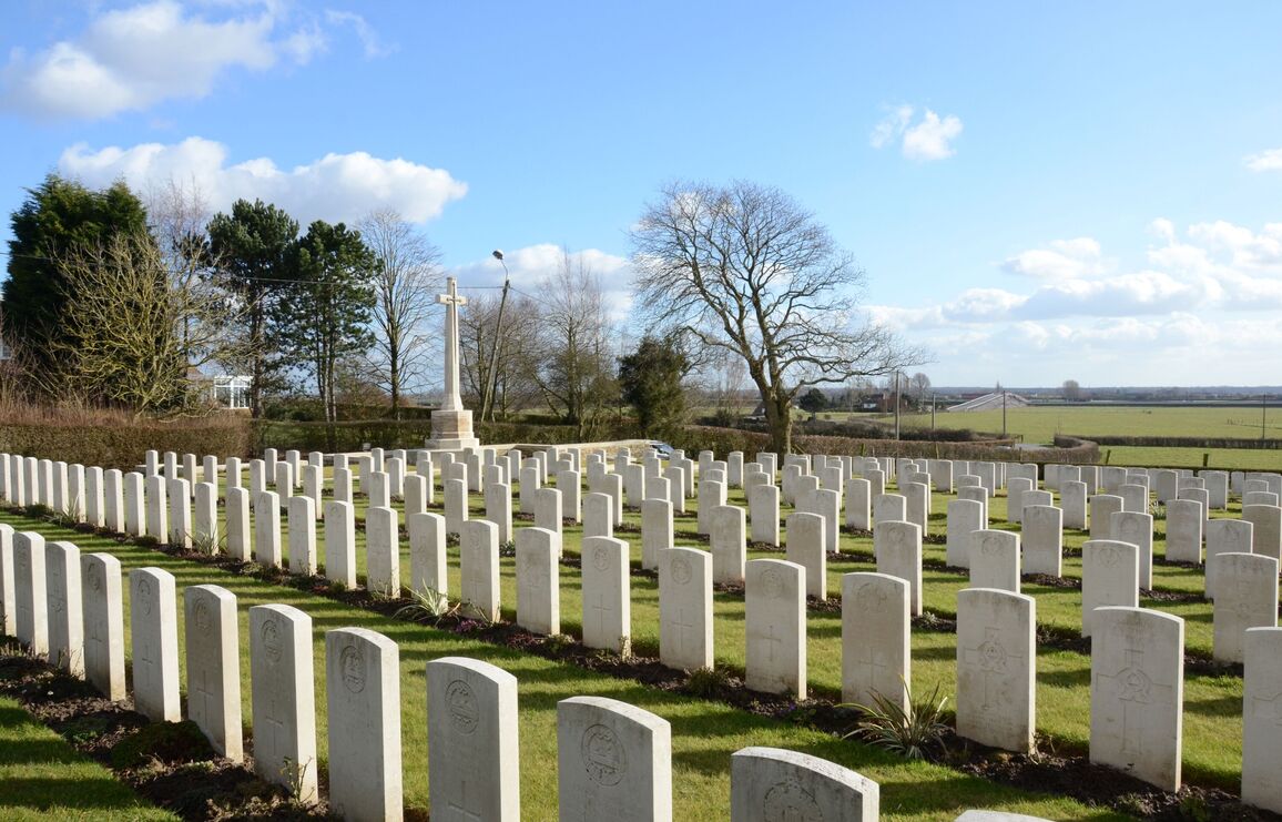
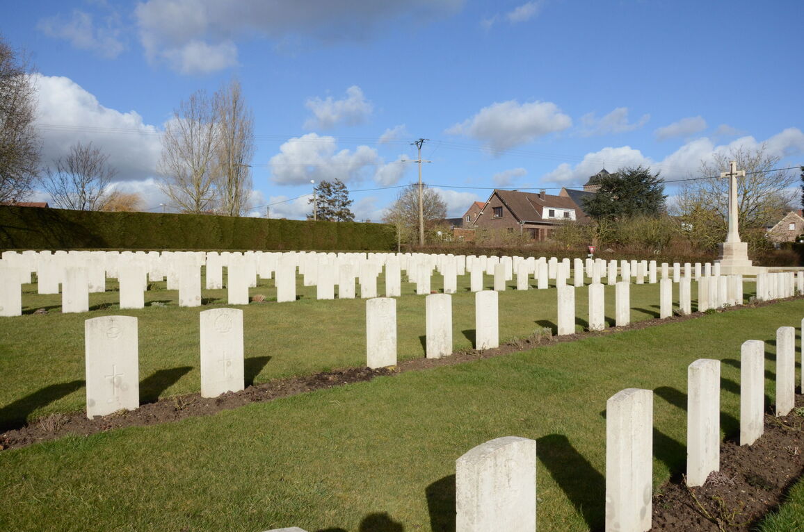
The internal paths are grass, the ground is gently sloped from the right side of the cemetery down to the left.
ALTERNATIVE ACCESS
The alternative entrance into the cemetery is signposted and is near to the edge of the parking area to the left of the Cross of Sacrifice in the front left-hand corner of the cemetery.
There is an 80-centimetre-wide grass ramp from ground level up to the burial area.
ADDITIONAL INFORMATION
The cemetery is permanently open.
History information
The cemetery was used from May to September 1918 by field ambulances and fighting Units, particularly those of the 1st Australian Division, during the interval between the German and Allied offensives of that year.
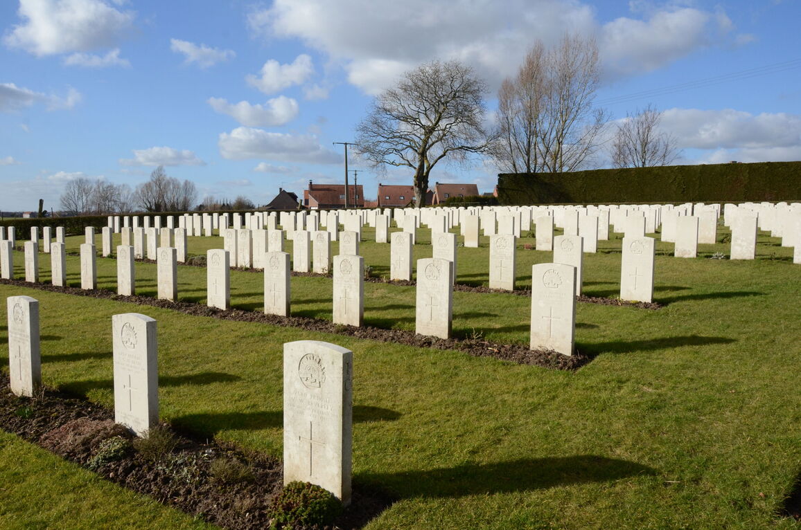
The cemetery now contains 367 Commonwealth burials of the First World War and three German war graves. There are also five burials of the Second World War.
The cemetery was designed by Sir Herbert Baker.


