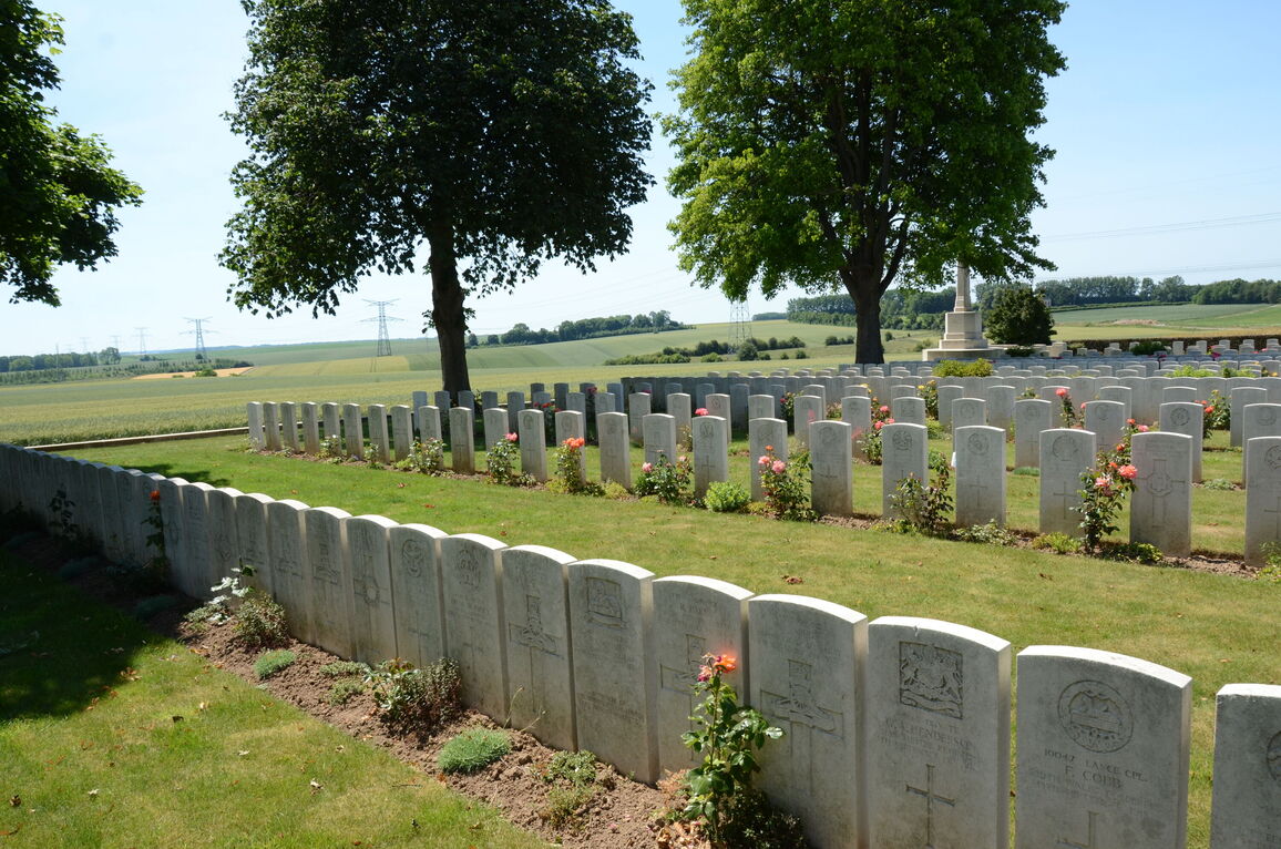
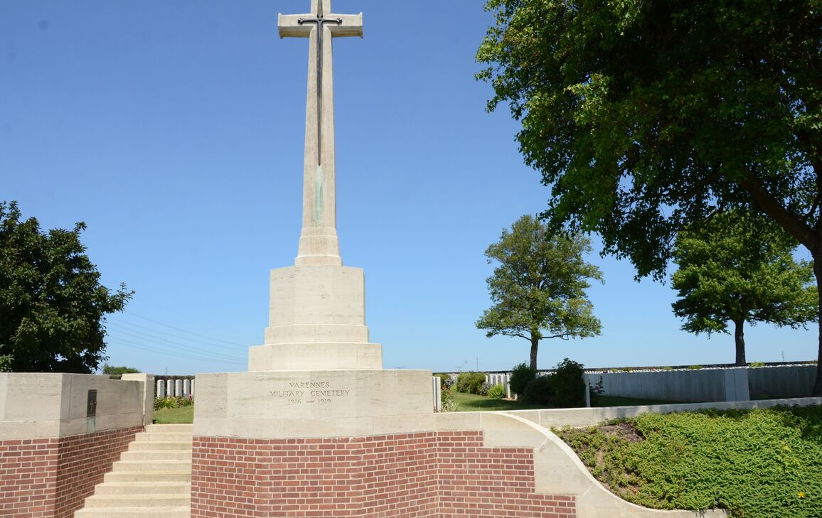
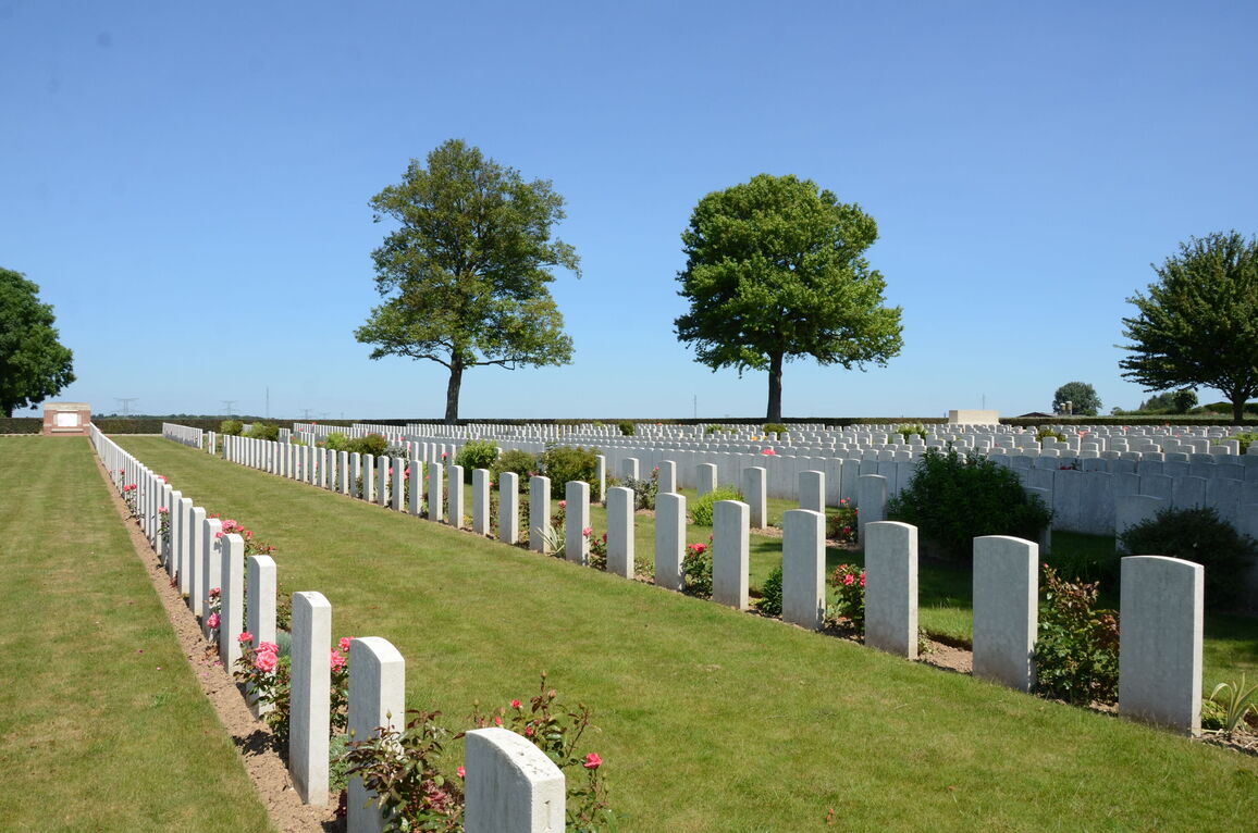
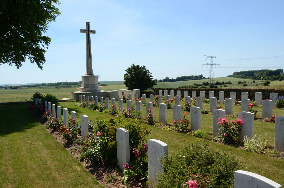
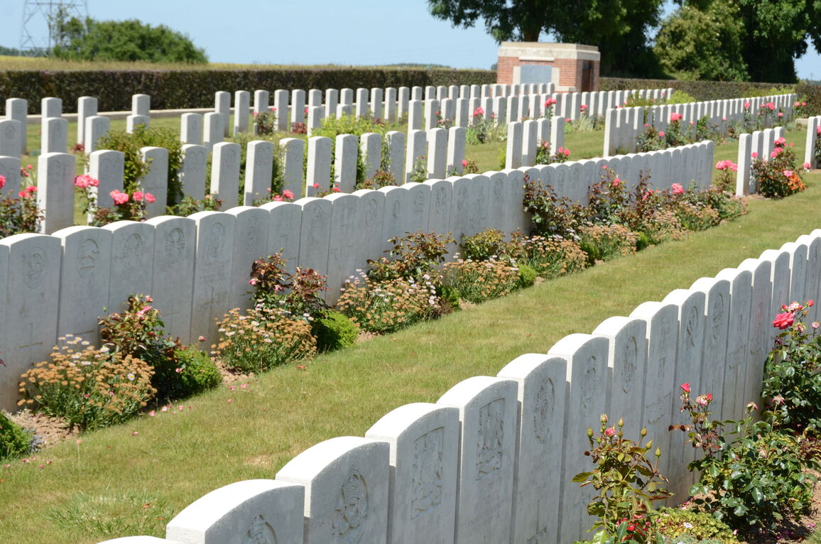
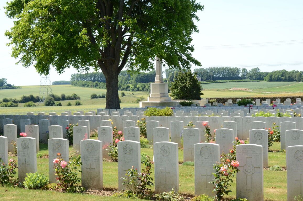
Varennes Military Cemetery
- Country France
- Total identified casualties 1219 Find these casualties
- Region Somme
- Identified casualties from First World War
- GPS Coordinates Latitude: 50.0545, Longitude: 2.52615
Location information
Varennes is a village 11 kilometres from Albert and 18 kilometres from Amiens.
Take the D938 from Albert to Doullens. In Hedauville turn left on the D47E towards Varennes. 2 kilometres further on you will come to a crossroads in the village of Varennes where you should turn right. About 300 metres further, turn left following the CWGC sign, and the Cemetery will be found about 500 metres further on the right.
Visiting information
The cemetery is not signposted. The cemetery is located within 50 metres of Varennes Civil Cemetery.
ARRIVAL
The main entrance opens directly onto the side of a single lane paved farm road (Route de Lealvillers) with a small gravel area at the bottom of a steep set of steps leading up to the cemetery to the left of the Cross of Sacrifice.
PARKING
It is not possible to park along the front of the cemetery
There are gravel farm tracks located off the side of the paved road, approximately 50 metres from the cemetery entrance, but there are no dedicated areas to park.
ACCESS LAYOUT AND MAIN ENTRANCE
The main entrance is in the far-left hand corner of the cemetery and has 13 stone steps going up from the main road into the burial area. There is a low stone kerb at the edge of the gravel area in front of the cemetery. There are no handrails.
The Register Box is built into the left side wall of the steps leading up to the cemetery,
The Cross of Sacrifice is at the top of the stone steps, on top of the right-side wall at the entrance.
The Stone of Remembrance is in the far-right hand corner of the cemetery.
There is a red brick tool store in the left-hand corner of the cemetery with a stone bench seat built into the wall facing into the cemetery.
There is white kerb stone edging around the cemetery, also along edges and sides. There is a steep drop off at the edge of the kerbing along the front of the cemetery down to the road below.
All internal paths of the cemetery are grass, and the ground is flat and firm.
ALTERNATIVE ACCESS
On the far right-hand side of the cemetery is a long grass ramp running 50 metres from the side of the main road, at the start of a gravel farm track, along the front of an agricultural field. The gradient of the ramp is shallow, and the ground is firm. it is possible to enter the cemetery through a gap between a tree and a hedge in the front right corner. There is a steep drop to the left of the path adjacent to the road. There is a stone kerb level with the grass and the inside of the cemetery at the boundary of the cemetery.
ADDITIONAL INFORMATION
The cemetery is permanently open.
History information
The cemetery was laid out by the 39th Casualty Clearing Station in August 1916, during the Battle of the Somme, but the first burials were made during August and September by more mobile divisional Field Ambulances. The 4th and 11th Casualty Clearing Stations then used the cemetery from October 1916, joined by the 47th from December 1916, but by May 1917 Varennes was deserted and remained so until the Germans launched their offensive in this quarter in April 1918. The cemetery was then extended by the 17th and 38th (Welsh) Divisions by the addition of plots II and III, and at the beginning of September 1918, the 3rd Canadian and 59th Casualty Clearing Stations arrived at Varennes.
The cemetery contains 1,219 burials of the First World War, two of which were brought in from Varennes Communal Cemetery in 1934.
The cemetery was designed by Sir Reginald Blomfield.


