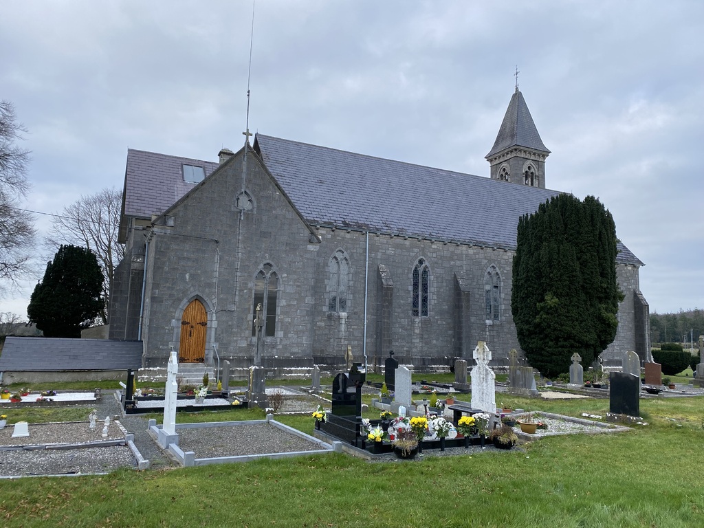
Emo (St. Pauls) Roman Catholic Churchyard
- Country Ireland, Republic of
- Total identified casualties 2 Find these casualties
- Region County Leix
- Identified casualties from First World War
- GPS Coordinates Latitude: 53.09822, Longitude: -7.2089
History information
The churchyard is a short distance East of the road from Portarlington to Maryborough, midway between the two towns.
There are 2 Commonwealth burials of the 1914-1918 war here.