Contay British Cemetery, Contay
- Country France
- Total identified casualties 1134 Find these casualties
- Region Somme
- Identified casualties from First World War
- GPS Coordinates Latitude: 49.99871, Longitude: 2.48277
Location information
Contay is a village on the main road, Amiens to Arras. The Cemetery lies on the left (north east) side of the road to Franvillers. There is a CWGC road sign next to the church and square of the village and next to the D23, Franvillers - Corbie, sign. The distance from the CWGC sign to the Cemetery is approximately 650 metres.
Visiting information
ARRIVAL
The cemetery is located on the D23, just south of the village of Contay. The cemetery is signposted when leaving the village of Contay heading south.
PARKING
There is a parking area for 2 to 3 vehicles at the side of the main road at the southern end of the cemetery.
The ground is sloped and firm and topped with a gravel, sand and earth surface.
The main entrance is uphill from the parking area. There is a narrow, gravel track between the side of the road and the planting along the front of the cemetery. Care should be taken when accessing the main entrance along the road.
ACCESS LAYOUT AND MAIN ENTRANCE
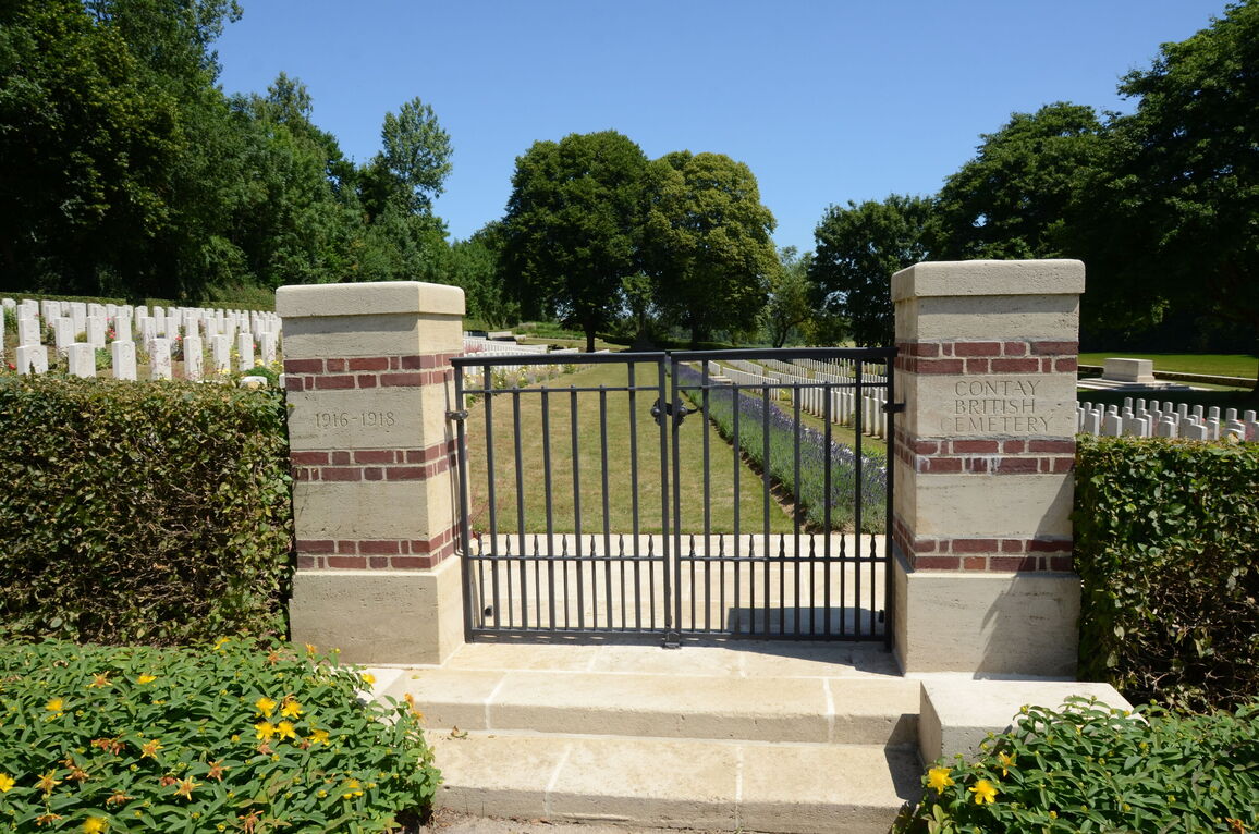
There is a tarmac ramp leading down from the road for approximately 600 mm then upwards to the base of the steps for another 900 mm. The gate is at the top of 2 stone steps.
The main gate is 2 metres wide. The double gate is mid-level, thigh height, black metal with the opening latch an up-and-down lever on the right-side section near the top. The gate opens inwards into the cemetery onto the upper level of the site onto a paved area.
The Register Box is built into the left-hand gatepost at the main entrance, viewed from inside the cemetery.
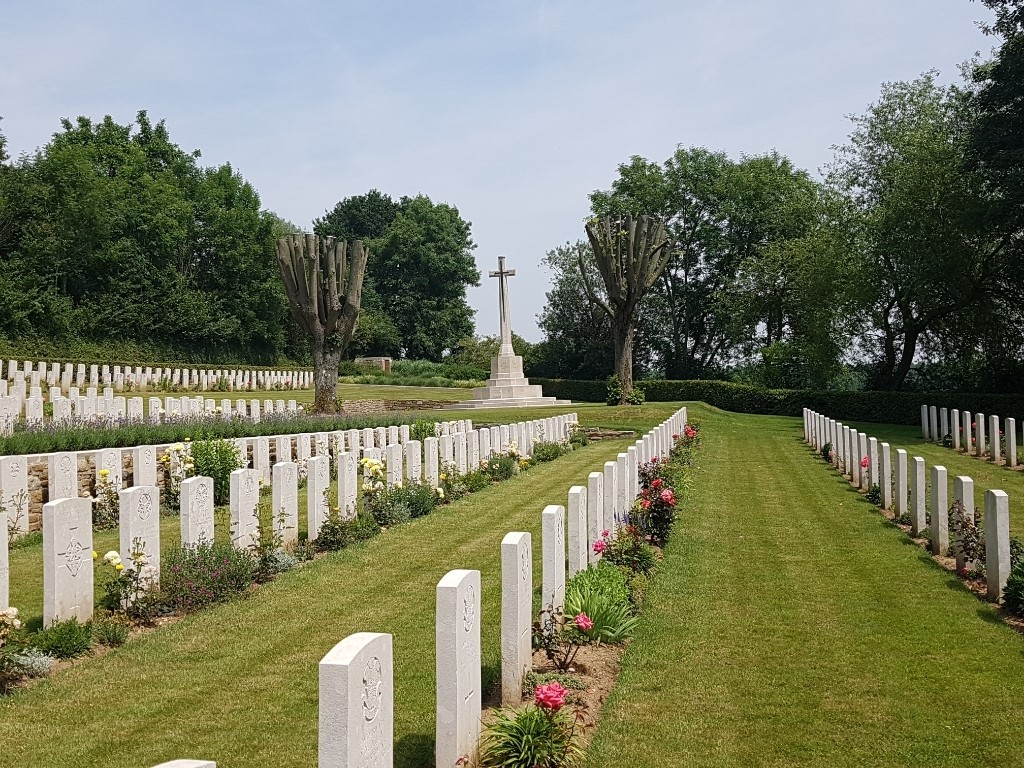
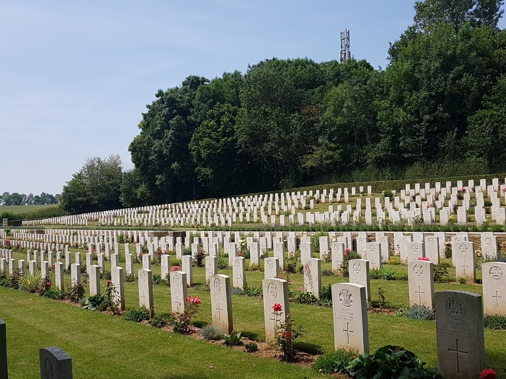
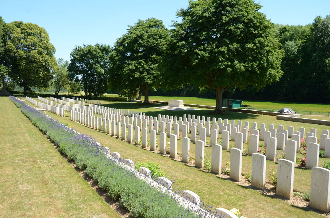
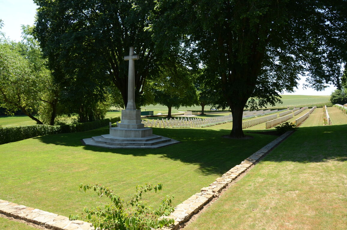
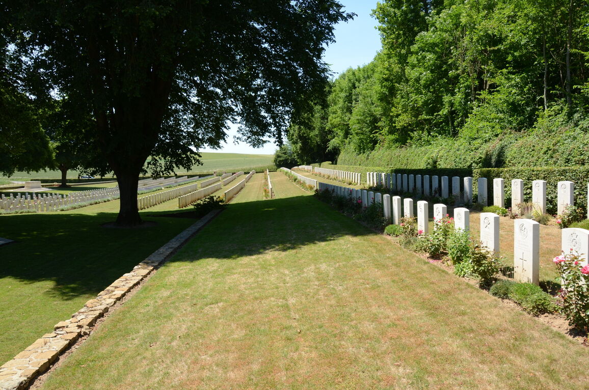
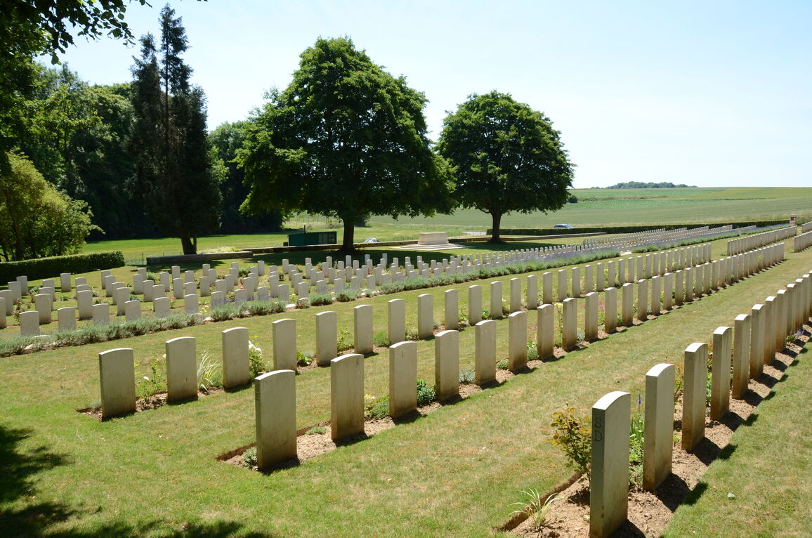
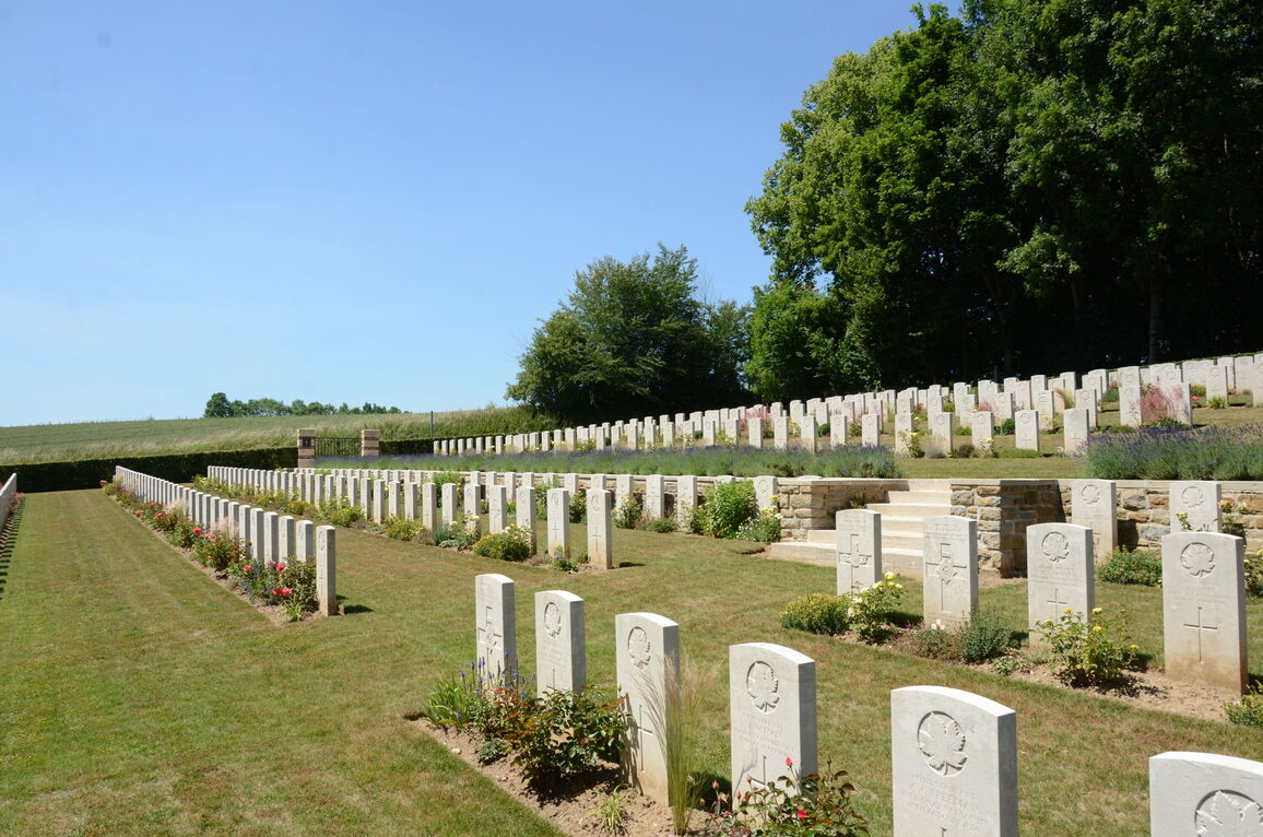
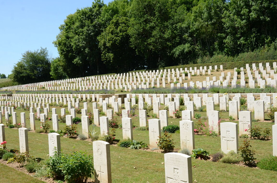
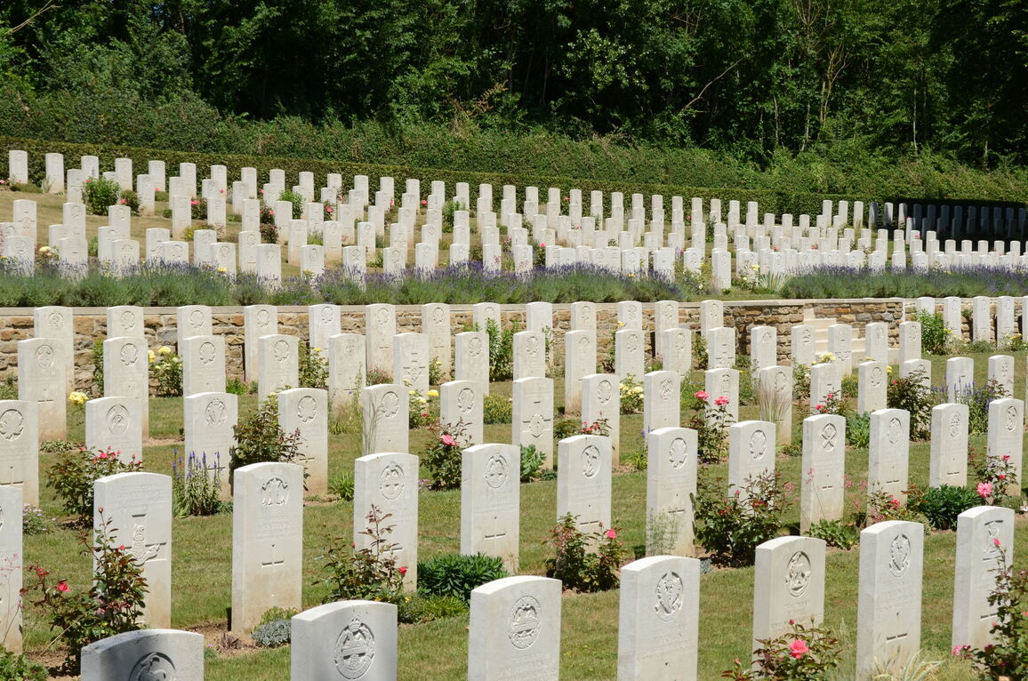
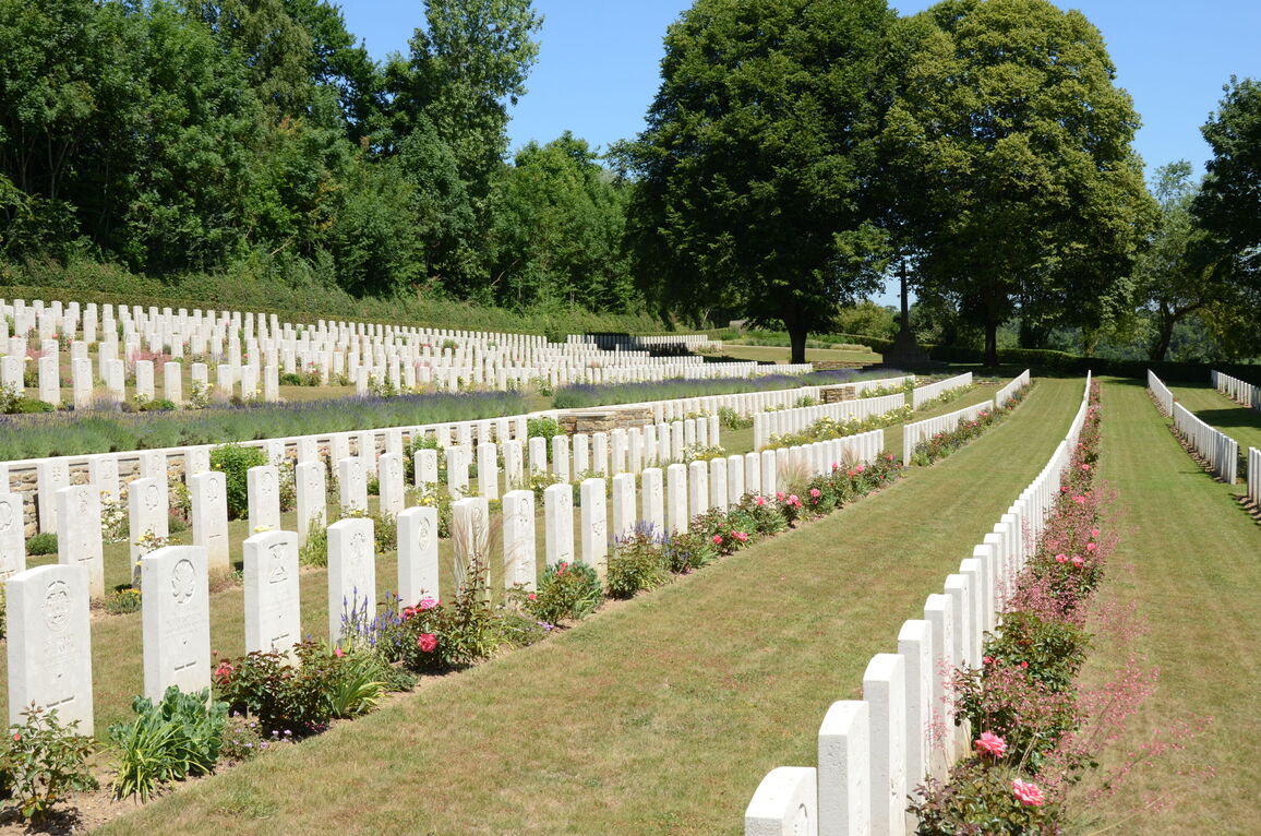
The cemetery is surrounded by a combination of low-level stone walls and hedges and built on two levels. The cemetery rises from the eastern low level boundary wall and hedge, running behind the Stone of Remembrance and Cross of Sacrifice up to the western side boundary hedge at the top of the burial area.
There is a stone wall running from the entrance towards to Cross of Sacrifice, approximately 900 mm high. There are three sets of stairs leading from the lower part of the cemetery to the upper burial area behind the wall. Two steps lead down to the lower area from the paving inside the main gate. The other two sets of stairs have five steps each. There are stone seating areas at the top of the slopes in line with these two set of stairs. It is possible to access the two levels step-free at the far end of the site, behind the wall surrounding the Cross of Sacrifice.
The Cross of Sacrifice is in the centre of the cemetery, in line with the main entrance, close to the far end of the site. There is a stone wall on three sides of the grass surrounding the Cross. There is a drop of up to 500mm from the upper burial area down to the grass surrounding the Cross.
The internal paths are grass, the ground is firm and sloping with vertical drops from the top of retaining walls.
ALTERNATIVE ACCESS
There is a service entrance at the end of a dirt track running along the lower end of the cemetery, accessed near the parking area, passing a storage area for the cemetery. An opening between the end of the wall and a hedge is approximately 80 metres from the roadside. There is no gate and an opening in the perimeter wall allows unrestricted access.
ADDITIONAL INFORMATION
The cemetery is permanently open.
History information
The site was chosen in August 1916 for burials from the 49th Casualty Clearing Station, which arrived at Contay at the end of August. It was joined by the 9th CCS in September. All the burials in Plots I to IV and the majority of those in Plots VII and VIII (the plot numbers V and VI were not used) cover the period August 1916 to March 1917. Most of them were made from these two clearing stations.
The German withdrawal to the Hindenburg Line in the spring of 1917 brought the medical units further east and it was not until April 1918, when the Germans advanced to Albert, that the 38th and other Divisions used the cemetery again, completing Plots VII and VIII and forming the two rows in Plot IX. The last burial took place in August 1918.
Contay British Cemetery contains 1,133 First World War burials.
The cemetery was designed by Sir Reginald Blomfield.


