Cape Town (Klip, Grassy Park) Cemetery
- Country South Africa
- Total identified casualties 188 Find these casualties
- Region Western Cape
- Identified casualties from First & Second World War
- GPS Coordinates Latitude: -34.04063, Longitude: 18.49491
Please note
There have been a number of serious incident, including recent attacks on visitors to this Cemetery. It is important to be aware of your surroundings and personal safety at all times. Please do not carry any valuables or leave them on display in your vehicle.
Location information
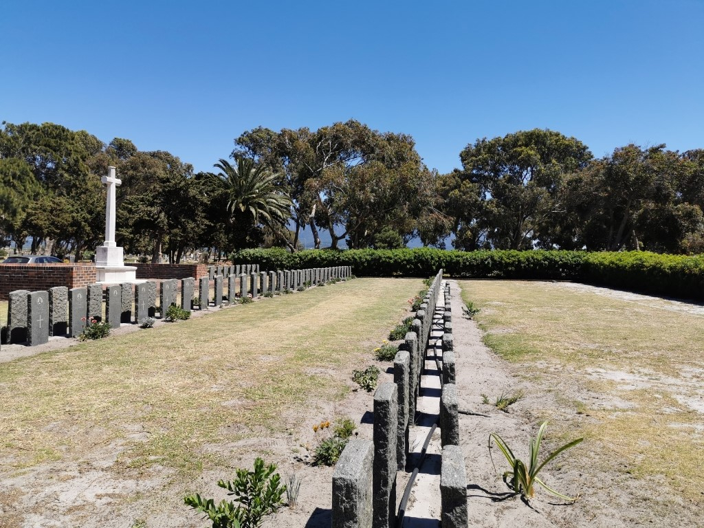
From the M5 (Prince George Avenue) turn into Grassy Park in Victoria Road, and then left into Klip Road, and the cemetery entrance is on the left. Continue straight on from the cemetery entrance for the military plot.
Visiting information
Consult the cemetery office or the Secretary CWGC South African Agency (Tel. 0027 12 663 7258) regarding the position of the scattered graves. There is the potential for attacks in the vicinity of the cemetery. All visitors are strongly advised to take care and not carry valuables or leave them on display in vehicles.
History information
Cape Town and the nearby Simon's Town were the scene of massive shipping movements (including hospital ships) during both World Wars, and there were military hospitals at Maitland and Wynberg. During the Second World War, naval and maritime air operations were conducted from the area. Instruction under the Empire Air Training scheme was conducted at 65 and 66 Air School at Youngsfield Aerodrome in the Wynberg area, and the Fleet Air Arm was established at the Wingfield Aerodrome.
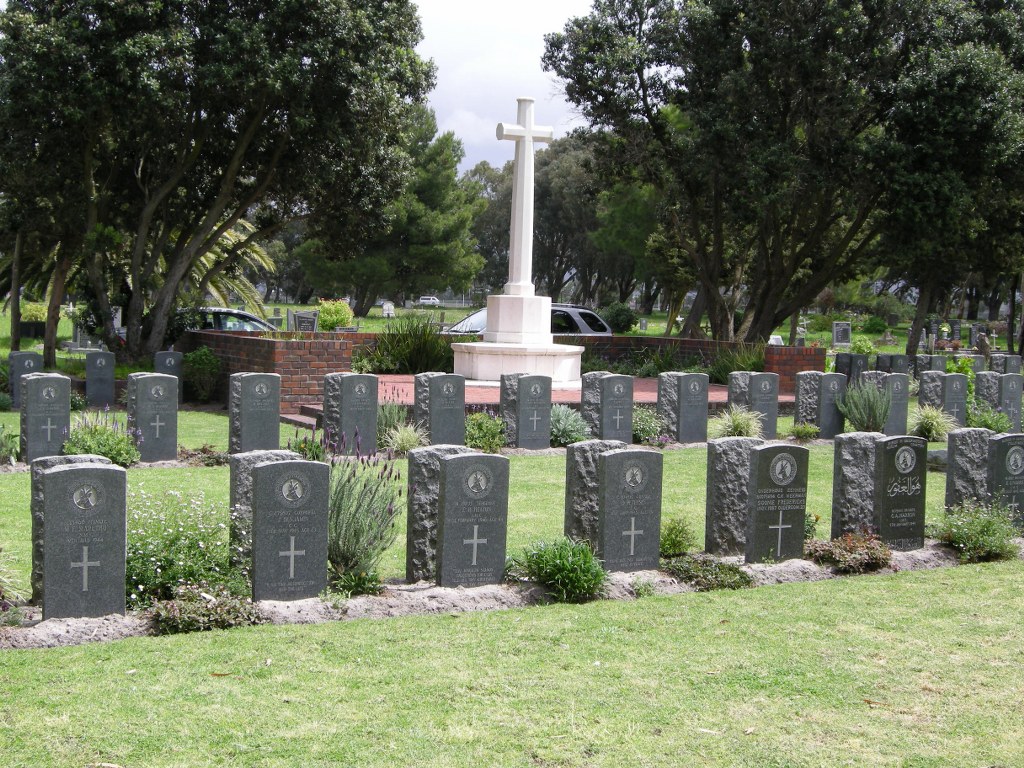
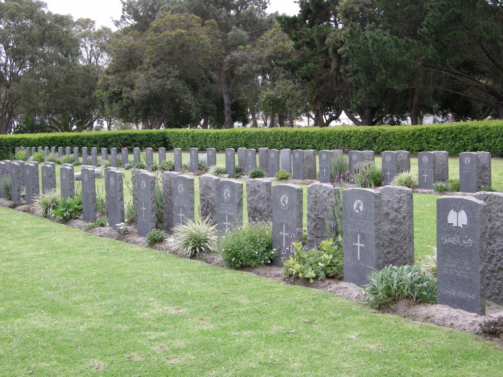
Cape Town (Klip, Grassy Park) Cemetery contains two Commonwealth burials of the First World War and 185 from the Second World War.


