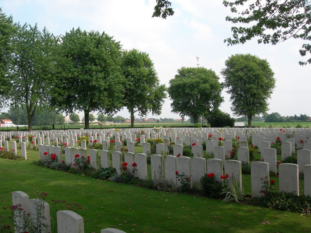
Vlamertinghe New Military Cemetery
- Country Belgium
- Total identified casualties 1809 Find these casualties
- Region West-Vlaanderen
- Identified casualties from First World War
- GPS Coordinates Latitude: 50.84772, Longitude: 2.81849
Location information
Vlamertinghe New Military Cemetery is located 5 Kms west of Ieper town centre and to the south of the village of Vlamertinge (Vlamertinge is the modern spelling of Vlamertinghe). Vlamertinge is located along the Poperingseweg.
From Ieper town centre the Poperingseweg (N308), is reached via Elverdingsestraat then straight over two small roundabouts in the J. Capronstraat. The Poperingseweg is a continuation of J. Capronstraat and begins after a prominent railway level crossing.
The cemetery is located after turning left in the village of Vlamertinge onto the Hugo Verriestraat. This road crosses a railway and the main road N38, where the name of the street changes to Bellestraat. The cemetery lies 200 metres on the left hand side of the Bellestraat, after crossing the N38.
Visiting information
Visitors to this site should note a grassed access path which runs between two houses on the street front and is unsuitable for vehicles.
Wheelchair access is possible via the main entrance.
For further information regarding wheelchair access, please contact our Enquiries Section on telephone number: 01628 507200
History information
For much of the First World War, Vlamertinghe (now Vlamertinge) was just outside the normal range of German shell fire and the village was used both by artillery units and field ambulances. Burials were made in the original Military Cemetery until June 1917, when the New Military Cemetery was begun in anticipation of the Allied offensive launched on this part of the front in July. Although the cemetery continued in use until October 1918, most of the burials are from July to December 1917.
The cemetery now contains 1,812 Commonwealth burials of the First World War.
The cemetery was designed by Sir Reginald Blomfield.


