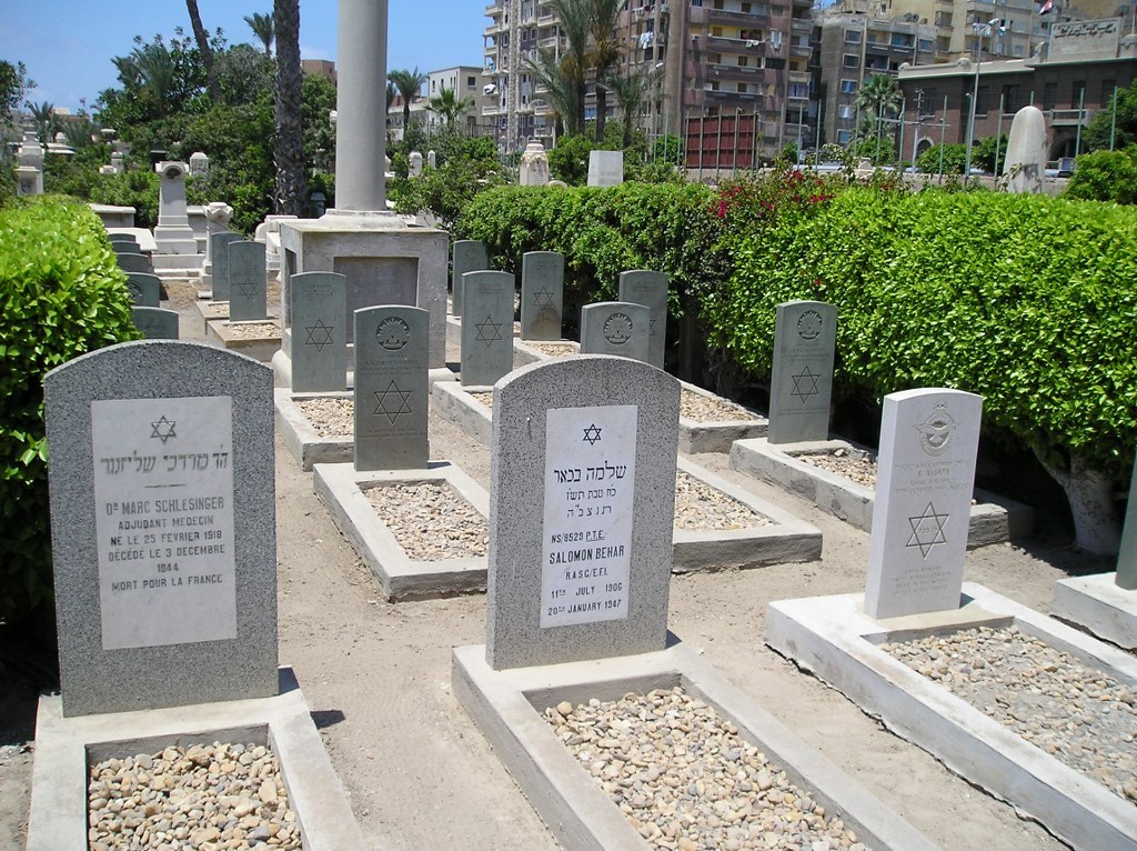
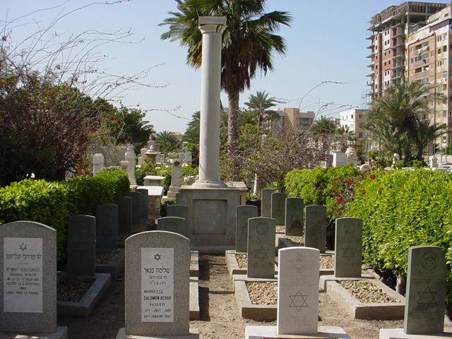
Alexandria (Chatby) Jewish Cemetery No.3
- Country Egypt
- Total identified casualties 23 Find these casualties
- Identified casualties from First & Second World War
- GPS Coordinates Latitude: 31.2076, Longitude: 29.91513
Location information
Chatby is a district on the eastern side of the city of Alexandria, between the main dual carriageway to Aboukir, known as Al Horaya, and the sea.
This cemetery is located within the main Alexandria cemetery complex, which is bordered by Al Horaya on the south and the electric tramway, which is parallel with Sharia Champollion on the North.
Visitors can reach the entrance to the cemetery along the road Sharia Anubis, which lies centrally north/south through the cemetery area.
Visiting information
The cemetery is open Saturday to Thursday 07.00 to 14.30. The cemetery is kept locked outside of these hours.
For further information and enquiries please contact enquiries@cwgc.org
History information
In March 1915, the base of the Mediterranean Expeditionary Force was transferred to Alexandria from Mudros and the city became a camp and hospital centre for Commonwealth and French troops. The Gallipoli campaign of 1915 was followed by operations in Egypt and Palestine and the port was much used by hospital ships and troop transports bringing reinforcements and carrying the sick and wounded out of the theatres of war.
During the Second World War, Alexandria was again an important hospital centre, taking casualties from campaigns in the Western Desert, Greece, Crete, the Aegean Islands and the Mediterranean. Rest camps and hostels were also established there together with a powerful anti-aircraft base. Alexandria was also the communications centre for the middle and near east and became the headquarters of the Military Police.
This civil cemetery contains 20 First World War burials, 19 of them together in one plot, where there is also a memorial to men of the Zion Mule Corps. The cemetery also contains 2 burials of the Second World War.


