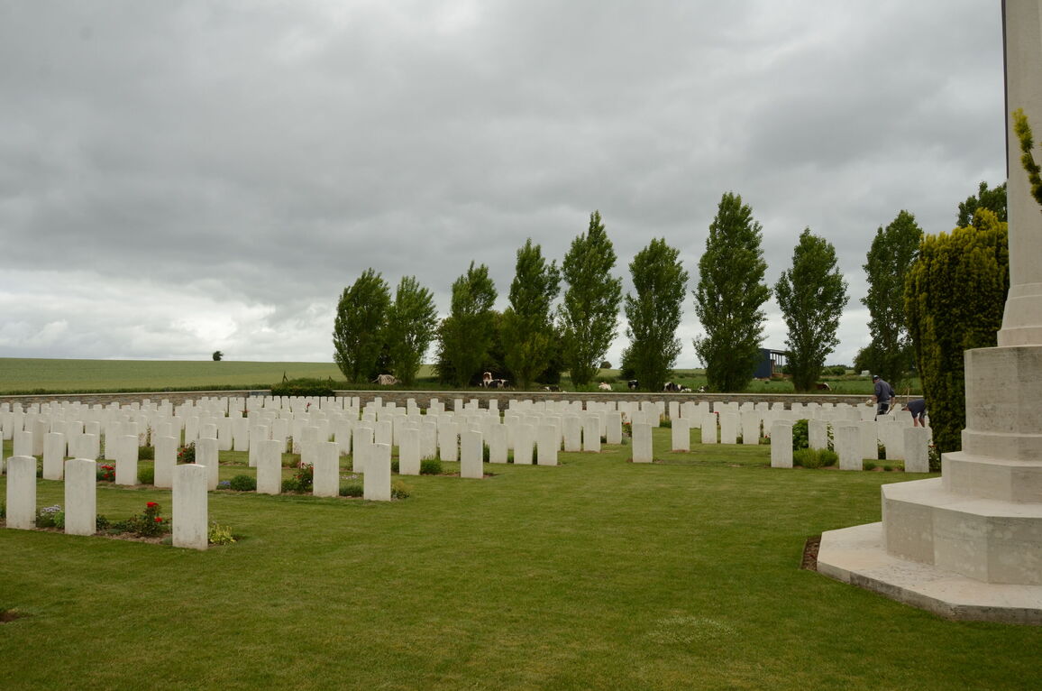
Bouzincourt Communal Cemetery Extension
- Country France
- Total identified casualties 484 Find these casualties
- Region Somme
- Identified casualties from First World War
- GPS Coordinates Latitude: 50.02876, Longitude: 2.60812
Location information
Bouzincourt is a village 3 kilometres north-west of Albert on the road to Doullens (D938). The Communal Cemetery is on the northern side of the village and is signposted on the main road (D938) through the village.
Visiting information
ARRIVAL
The cemetery is signposted.
The CWGC plot is attached to the rear of the municipal cemetery. A path runs through the centre of the main cemetery into the CWGC plot.
PARKING
There is a car park at the front of the civic cemetery with spaces for multiple vehicles. There is a dedicated disabled parking bay.
It is possible to park within 10 metres of the main entrance. There are large green double gates to access the municipal cemetery. One set is immediately in front of the parking area. There are raised concrete kerbs, approximately 75 mm tall around the parking bays, with a sloped tarmac path leading up to the gate from the footpath along the road. The main gates are 20 metres east of the parking are along a paved footpath alongside the road (chemin d’Englebelmer). There is a concrete drainage channel alongside the footpath adjacent to the road and a narrow, raised kerb along the footpath side adjacent to the cemetery. Both sets of gates are opened with a lever handle on the right-side gate section. The gates open inwards into the cemetery onto tarmac pathways.
ACCESS LAYOUT AND MAIN ENTRANCE
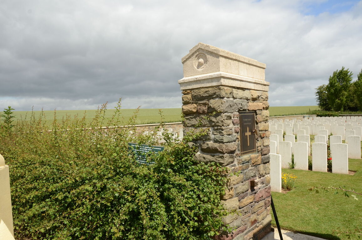
The main entrance into the CWGC section is 100 metres from the entrance gate, along a tarmac road leading to the rear of the site. Stone paving, level with the tarmac, leads to two stone pillars with a tall, black metal gate between. The gate is 1.2 metres wide with a ring handle on the left of the gate, which is turned clockwise to open. The gate opens into the cemetery. Paving continues into the cemetery, level with the grass inside the site. There is a small metal gate stop on the left side of the gate opening.
The Register Box is built into the wall at the main entrance gate, in the left pillar, at a height of approximately 1.5 metres.
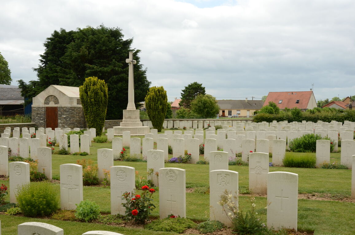
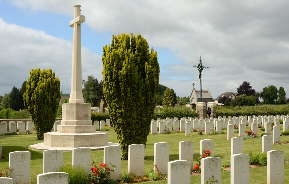
The Cross of Sacrifice is on the right side of the cemetery, close to the entrance gate.
There is a stone shelter building behind the Cross of Sacrifice. There is a single step up, approximately 100 mm, to access the building. There is stone seating inside the shelter.
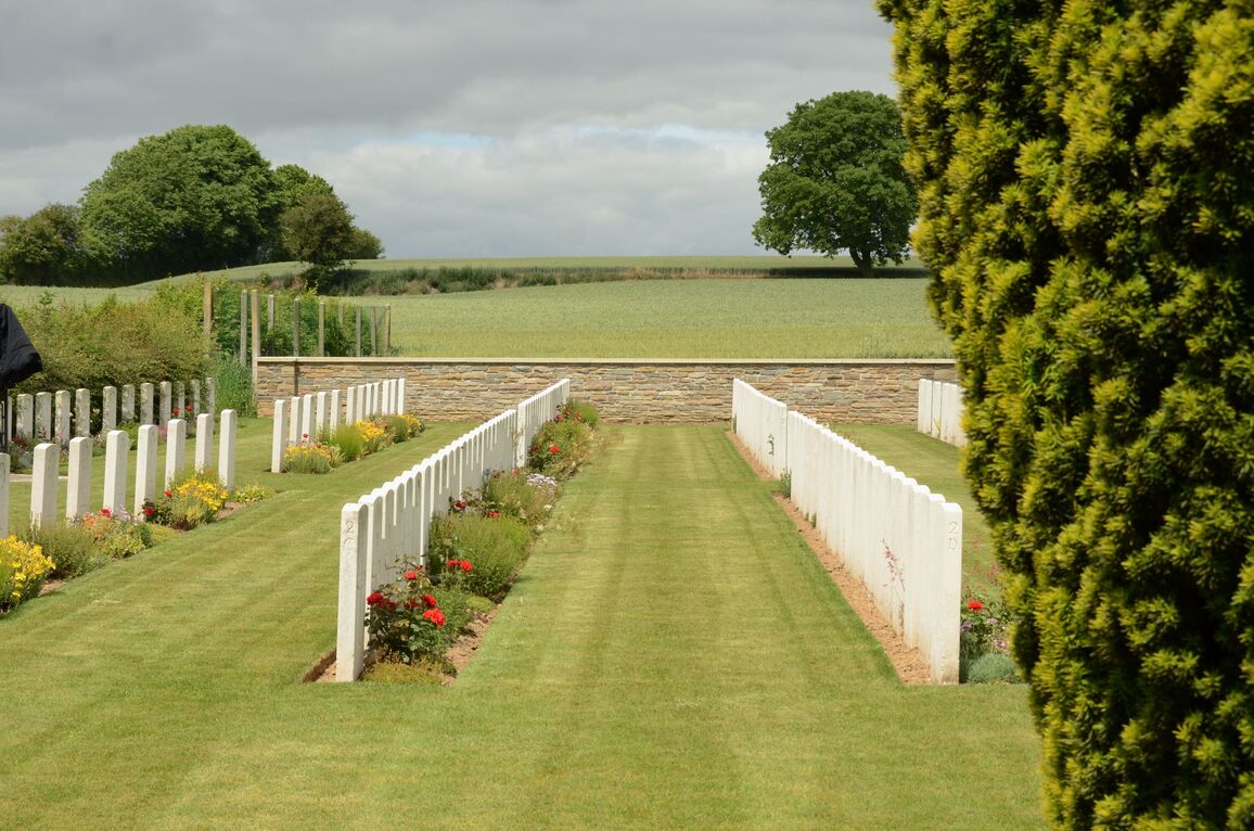
The internal paths are grass, the ground is flat and firm.
There are scattered CWGC graves in the civil cemetery, including small rows of graves near the entrance to the municipal cemetery on either side of the entrance.
ALTERNATIVE ACCESS
There is an open gap in the wall in the bottom left-hand corner of the CWGC cemetery, between the hedge and the boundary wall.
The paths are grass inside the CWGC Section, and the ground is flat and firm.
ADDITIONAL INFORMATION
The cemetery is permanently open.
History information
Bouzincourt was used as a field ambulance station from early in 1916 to February 1917, when the Allied line went forward from the Ancre. It was in German hands for a few days in the spring of 1918.
BOUZINCOURT COMMUNAL CEMETERY was used for burials from March to July 1916 and again from April to June 1918; it contains 33 Commonwealth burials of the First World War.
The adjoining CEMETERY EXTENSION was begun in May 1916 and used until February 1917. In the early part of July 1916, it was used not only for burials from the field ambulances but also for the interment of many soldiers killed in action and brought back from the line. The extension was reopened from the end of March 1918 until the following September and used largely by the 38th (Welsh) Division. In 1919, 20 graves were brought into Plot III, Row A from the immediate neighbourhood of Bouzincourt and 108 more were brought into Plots I, III and IV in 1924-25 from the various Somme battlefields and from the following Churchyard:-
FRAMERVILLE CHURCHYARD contained the graves of two Australian soldiers who fell in August 1918. (The village was captured by the 2nd Australian Division on the 9th August). They were at the South end of the Churchyard, which was later closed to burials and made into a public square.
The extension now contains 589 Commonwealth burials and commemorations of the First World War. 108 of the burials are unidentified but there are special memorials to casualties known or believed to be buried among them.
The extension was designed by Sir Reginald Blomfield.


