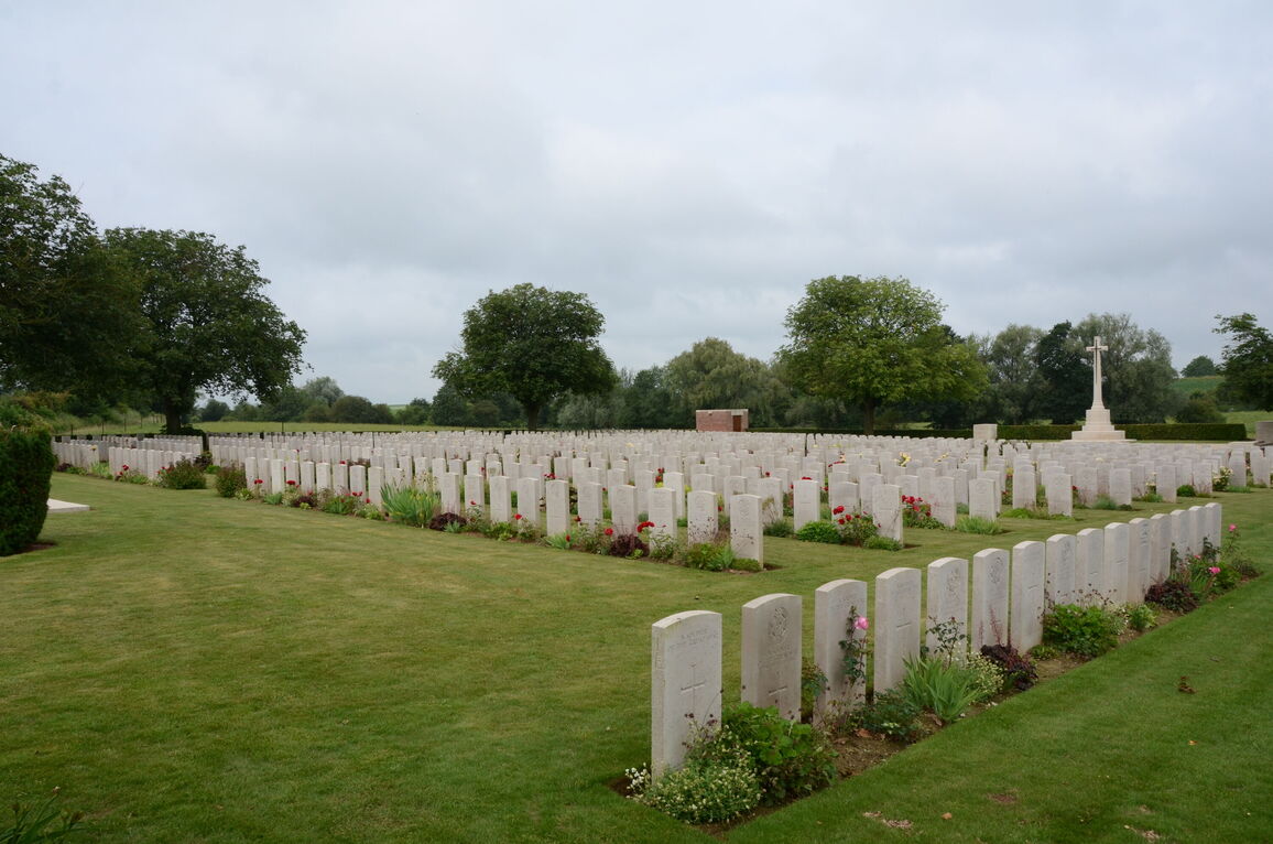
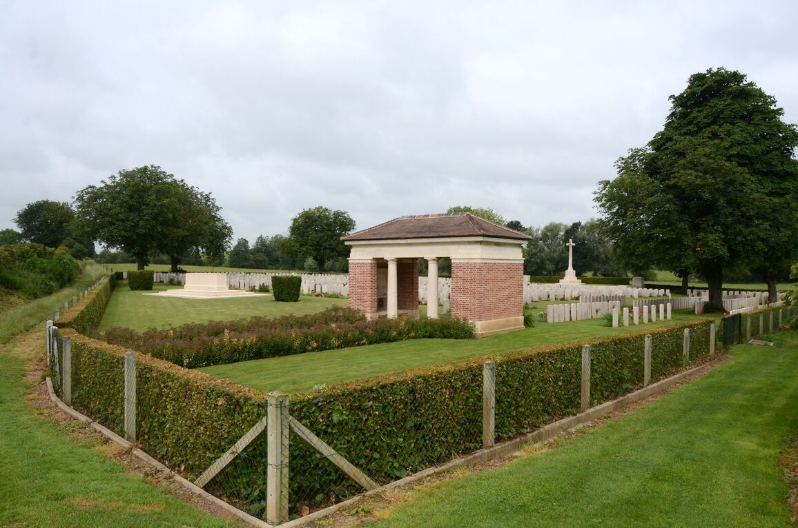
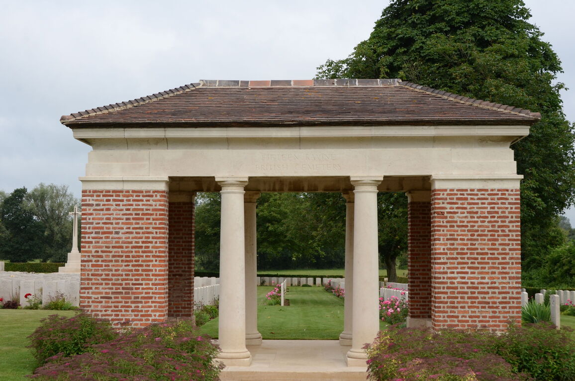
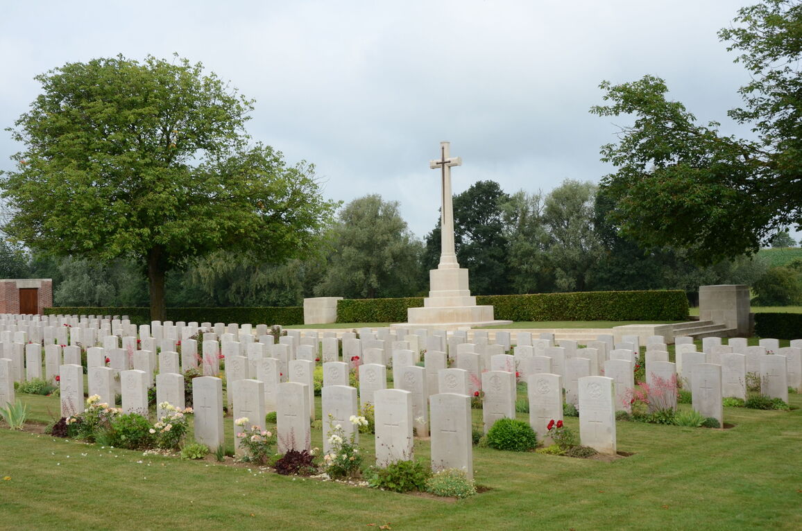
Fifteen Ravine British Cemetery, Villers-Plouich
- Country France
- Total identified casualties 528 Find these casualties
- Region Nord
- Identified casualties from First World War
- GPS Coordinates Latitude: 50.07269, Longitude: 3.1392
Location information
Villers-Plouich is a village about 13 kilometres south-west of Cambrai and Fifteen Ravine British Cemetery lies to the east of the village on the south side of the road to the small village of La Vacquerie.
Visiting information
Wheelchair access to this site is possible, but may be by alternative entrance. For further information regarding wheelchair access, please contact our Enquiries Section on 01628 507200.
History information
"Fifteen Ravine" was the name given by the Army to the shallow ravine, once bordered by fifteen trees, which ran at right angles to the railway about 800 metres south of the village of Villers-Plouich, but the cemetery is in fact in "Farm Ravine," on the east side of the railway line, nearer to the village.
The cemetery, sometimes called Farm Ravine Cemetery, was begun by the 17th Welsh Regiment in April 1917, a few days after the capture of the ravine by the 12th South Wales Borderers. It continued in use during the Battle of Cambrai (November 1917) and until March 1918, when the ravine formed the boundary between the Third and Fifth Armies. On 22 March, the second day of the great German offensive, the ground passed into their hands after severe fighting, and it was not regained until the end of the following September.
In March 1918, the cemetery contained 107 graves (now Plot I), but it was greatly enlarged after the Armistice when graves were brought in from the battlefields south-west of Cambrai and other cemeteries, including:-
ARGYLE ROAD CEMETERY, BEAUCAMP, close to "Argyle Road," on the North side of the hamlet of Beaucamp. The hamlet was taken on the 24th-25th April 1917, by the 40th Division. The cemetery contained the graves of 38 soldiers from the United Kingdom, of whom eleven men of the 14th Argyll and Sutherland Highlanders fell at Beaucamp on the 24th April, 1917, and twelve of other units in November and December, 1917.
BOURLON GERMAN CEMETERY, a narrow strip of land between Bourlon Communal Cemetery and the Bourlon-Marquion road, in which were buried 173 soldiers from the United Kingdom (almost all unidentified) and about 100 German soldiers.
MARCOING SUNKEN ROAD CEMETERY, on the Eastern slope of the Ravine running North-East from Villers-Plouich. It contained the graves of 75 officers and men from the United Kingdom (mainly of the Royal Naval Division) who fell in December 1917-April 1918, and four from New Zealand who fell at the end of September, 1918.
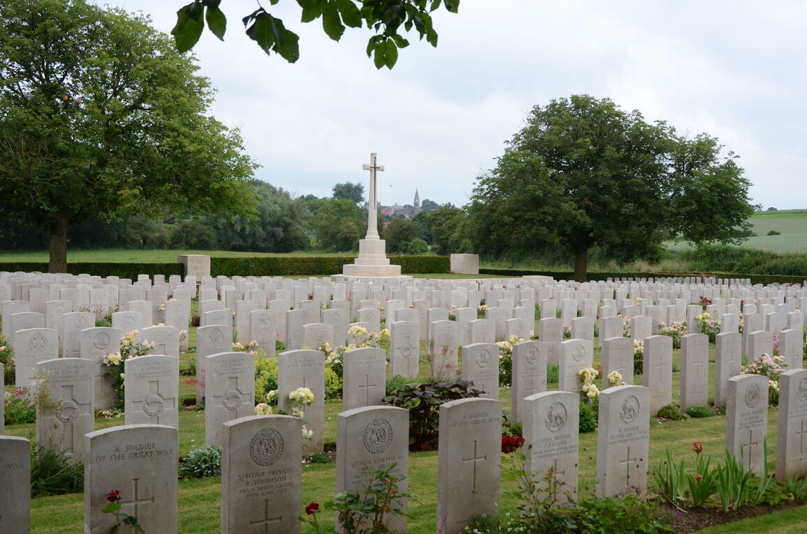
Fifteen Ravine Cemetery now contains 1,264 Commonwealth burials and commemorations of the First World War. 740 of the burials are unidentified but there are special memorials to 44 casualties known or believed to be buried among them. Other special memorials commemorate ten men of the Argyll and Sutherland Highlanders, buried in Argyle Road Cemetery, Beaucamp, whose graves were destroyed by shell fire.
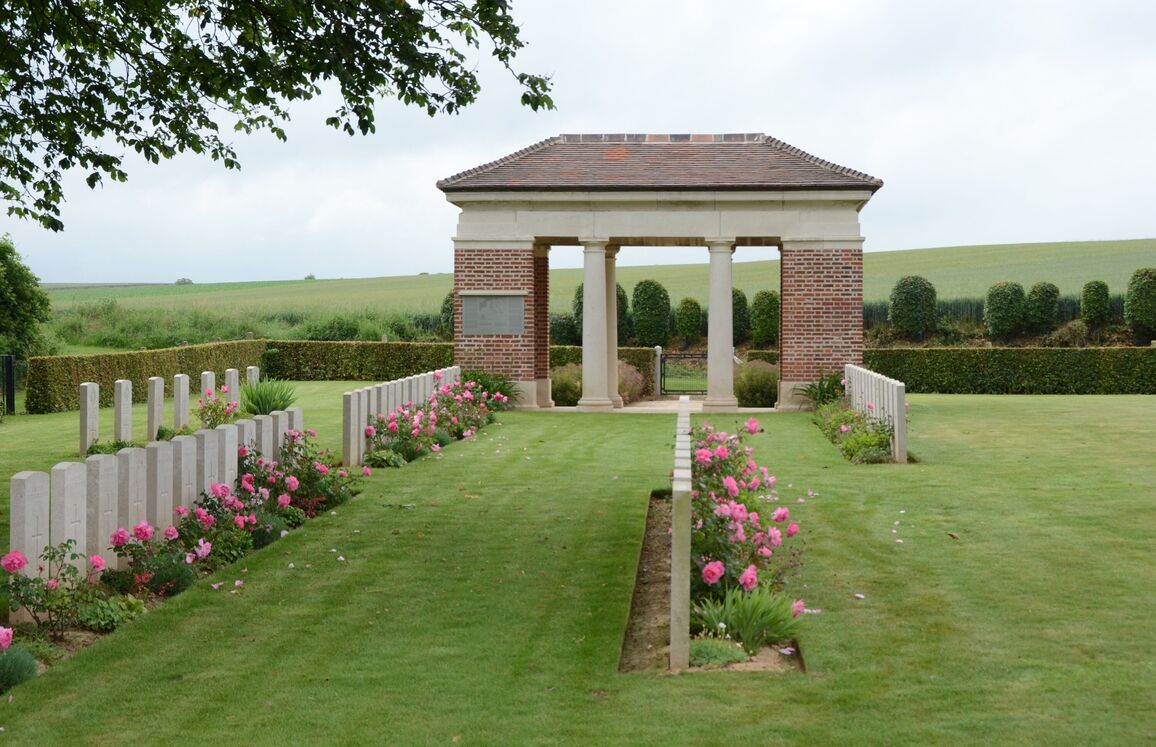
The cemetery was designed by Sir Herbert Baker.


