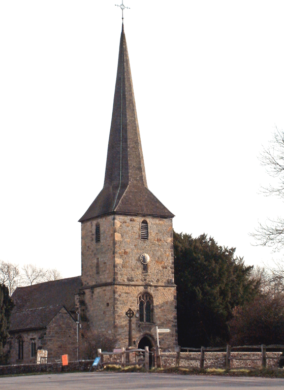
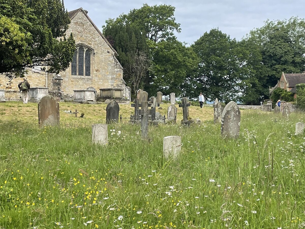
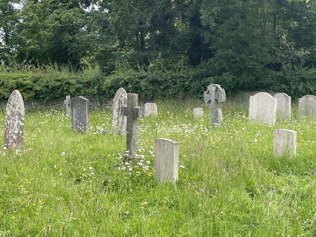
Hever (St. Peter) Churchyard
- Country United Kingdom
- Total identified casualties 6 Find these casualties
- Region Kent
- Identified casualties from First & Second World War
- GPS Coordinates Latitude: 51.18406, Longitude: 0.11145
History information
This was made in 1875, and now belongs to the Parish Council.


