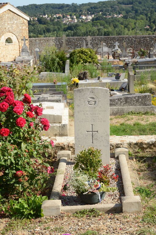
Jouars-Pontchartrain Churchyard
- Country France
- Total identified casualties 1 Find these casualties
- Region Yvelines
- Identified casualties from Second World War
- GPS Coordinates Latitude: 48.78892, Longitude: 1.89969
Location information
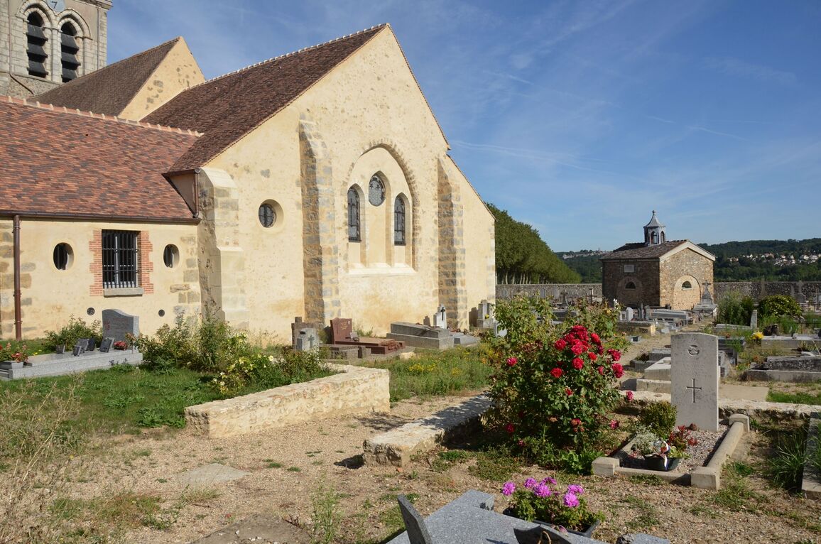
Jouars-Pontchartrain is a village and commune 17 kilometres west of Versailles, and 17 kilometres north-north-east of Rambouillet. The hamlet of Pontchartrain is on the main Versailles - Dreux road, and the village of Jouars is about 1.5 kilometres to the south of the road.
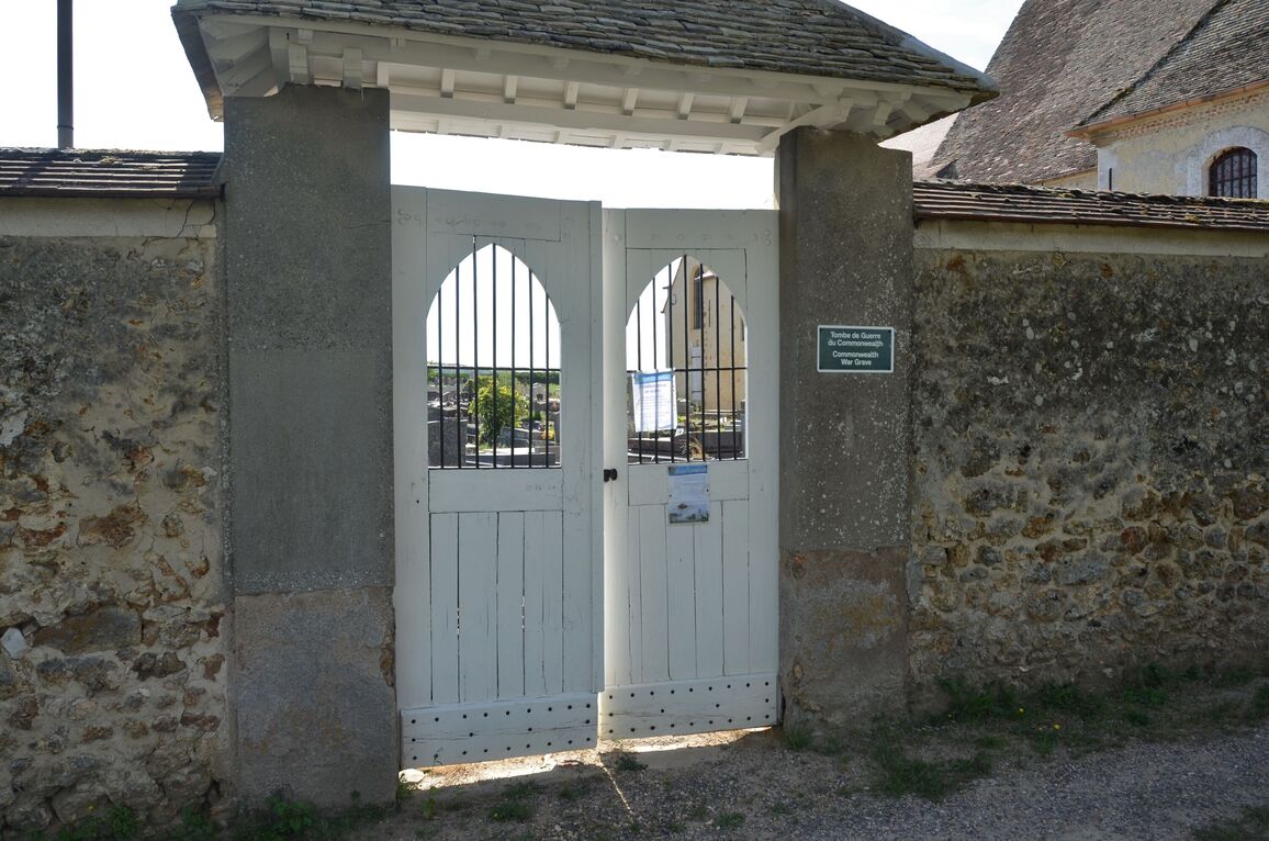
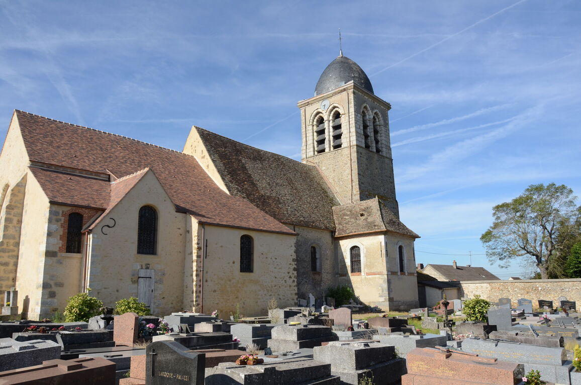
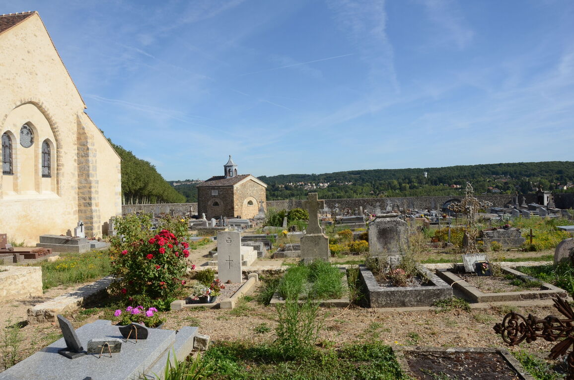
There are churches at both Pontchartrain and Jouars; the single Commonwealth 1939-1945 war grave is in the churchyard at Jouars. The grave is east of the church and on the south side of the wall which divides the churchyard into two parts.