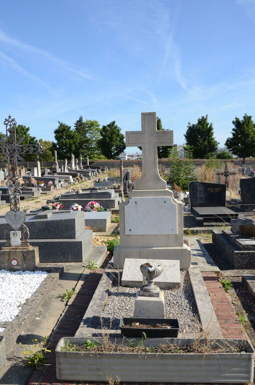
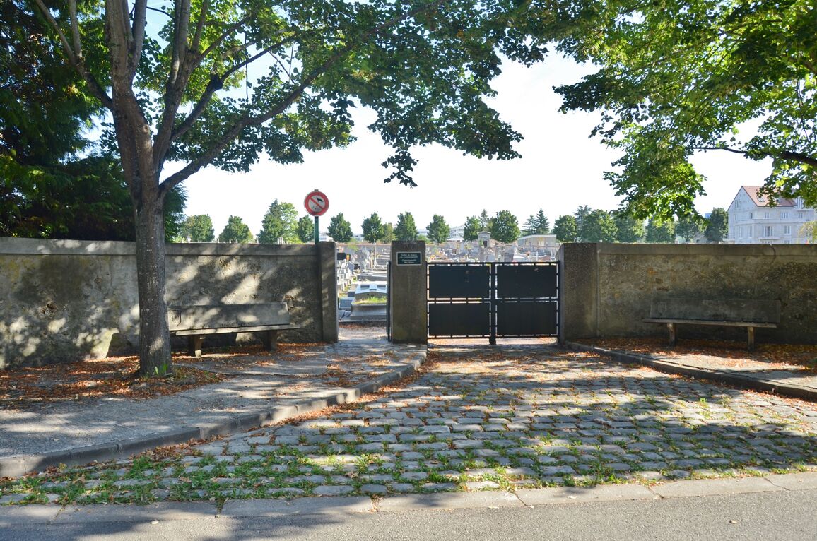
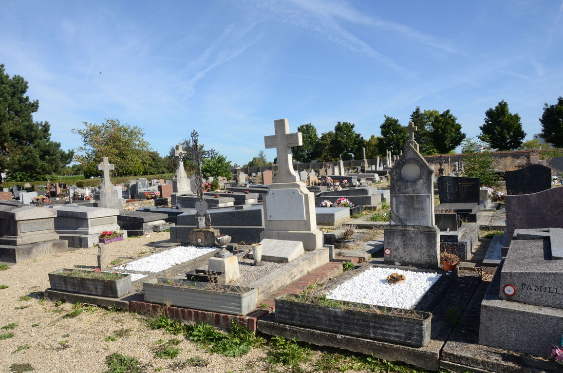
Plaisir Communal Cemetery
- Country France
- Total identified casualties 1 Find these casualties
- Region Yvelines
- Identified casualties from Second World War
- GPS Coordinates Latitude: 48.81936, Longitude: 1.94906
Location information
Plaisir is a village and commune 14 kilometres west of Versailles. There are two adjoining cemeteries, the communal and the hospital cemetery, the communal cemetery being the one on the west. They are situated north of the village between the road leading to Les Petits Pres and a by-road leading to the Clayes-Les Petits Pres road. The British airman's grave is west of the monument in the centre of the cemetery.


