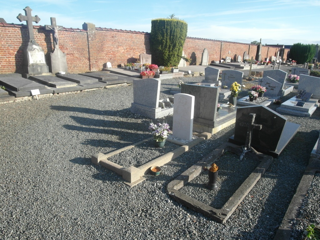
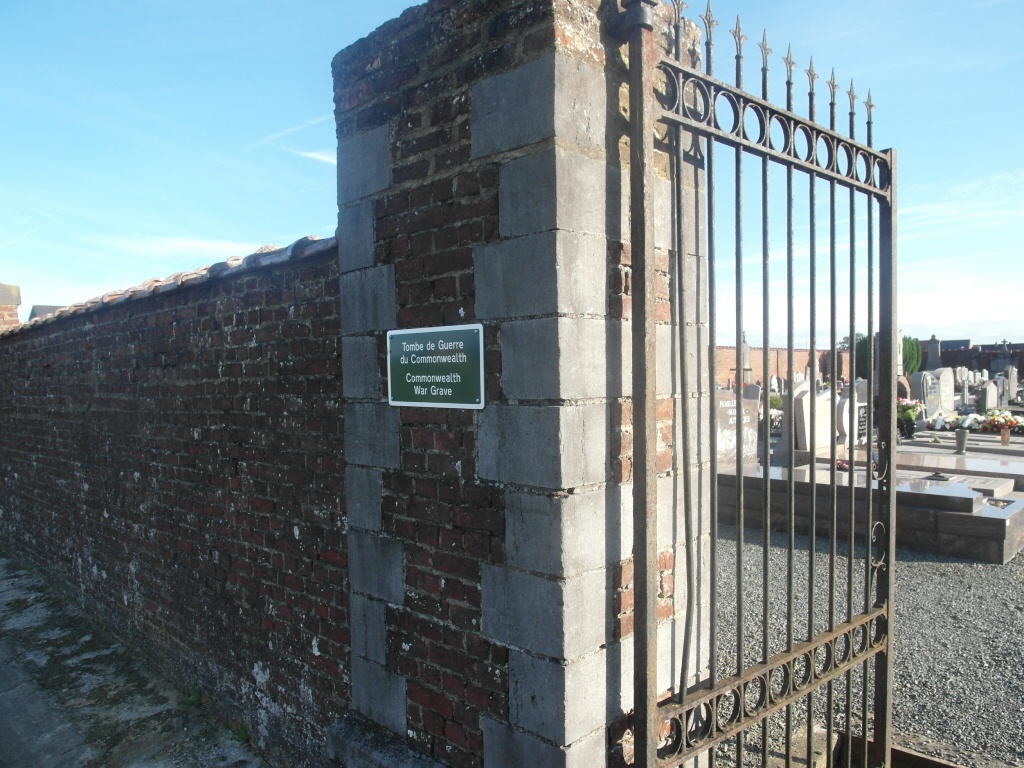
Tongre-Notre Dame Communal Cemetery
- Country Belgium
- Total identified casualties 1 Find these casualties
- Region Hainaut
- Identified casualties from Second World War
- GPS Coordinates Latitude: 50.58391, Longitude: 3.77326
Location information
The village of Tongre-Notre-Dame is located south-east of the town of Ath off the N56. From the motorway E42 turn off at junction 32 onto the N7 direction Ath. Follow the N7 past the villages of Gaurain-Ramecroix, Barry, Leuze-en-Hainault and Ligne and at the fork bear right into Ath. Follow the N527 out of Ath direction Ormeignies to the junction with the N56, turn left onto the N56 direction Mons. Coming out of Ath turn right along Rue De Beloeil towards Tongre-Notre-Dame. At the second crossroads turn left towards the village center. At Rue de Petite Holland turn left into an un-named street. The cemetery is on the right about 50 meters from the junction and can be seen from the junction. On entering the cemetery take the first path on the left and the grave is on the right of the path.
History information
The British Expeditionary Force was involved in the later stages of the defence of Belgium following the German invasion in May 1940, and suffered many casualties in covering the withdrawal to Dunkirk.
Tongre-Notre Dame Communal Cemetery contains one Commonwealth burial of the Second World War.