Wihogne Churchyard
- Country Belgium
- Total identified casualties 1 Find these casualties
- Region Liege
- Identified casualties from Second World War
- GPS Coordinates Latitude: 50.72663, Longitude: 5.50746
Location information
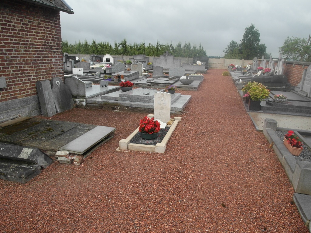
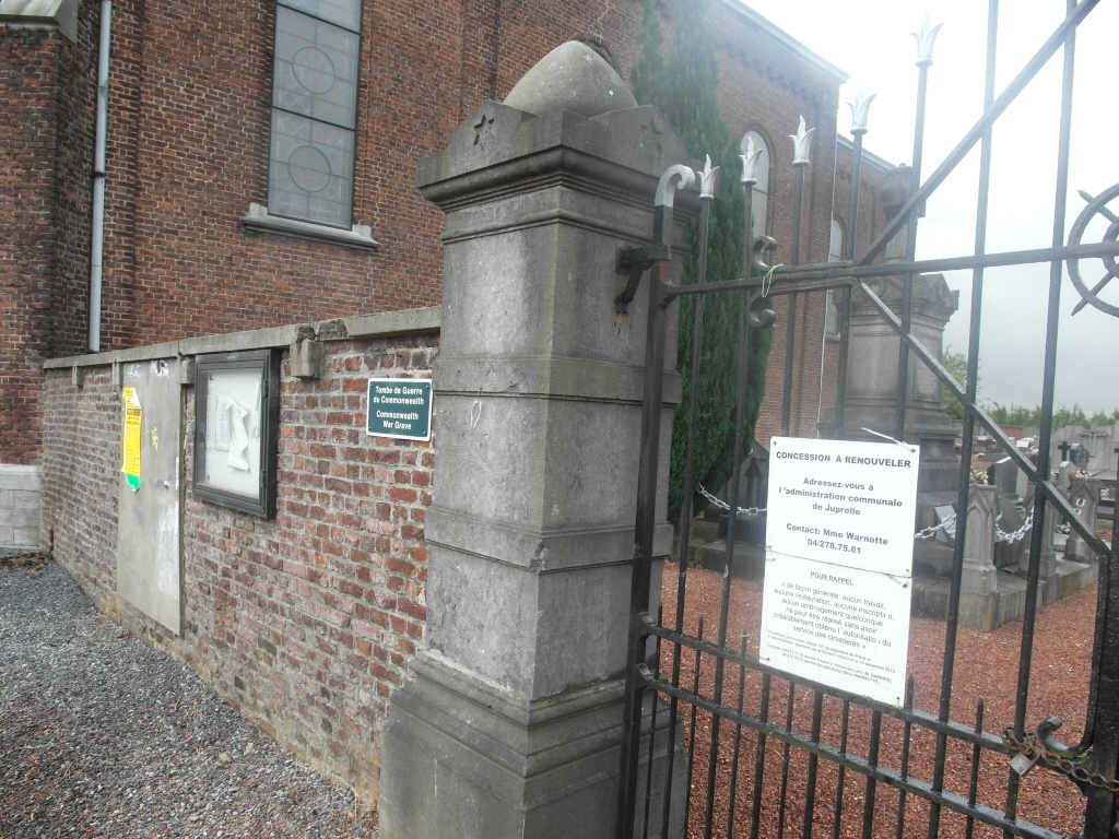
The village of Wihogne is located north-east of the town of Waremme on the N20. From the motorway E40 which runs between Brussel and Aachen turn off at junction 33 onto the N20 direction Tongres. Follow the N20 through the village of Juprelle and Wihogne is the next village, on entering the village turn left into Rue Lambert Dewonck and the church is along on the left. The grave is located to the right hand side of the chapel.
History information
The British Expeditionary Force was involved in the later stages of the defence of Belgium following the German invasion in May 1940, and suffered many casualties in covering the withdrawal to Dunkirk.
Wihogne (Nudorp) Churchyard contains the grave of one airman of the Second World War.