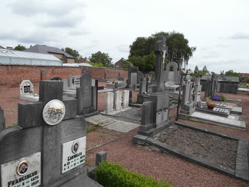
Munsterbilzen Communal Cemetery
- Country Belgium
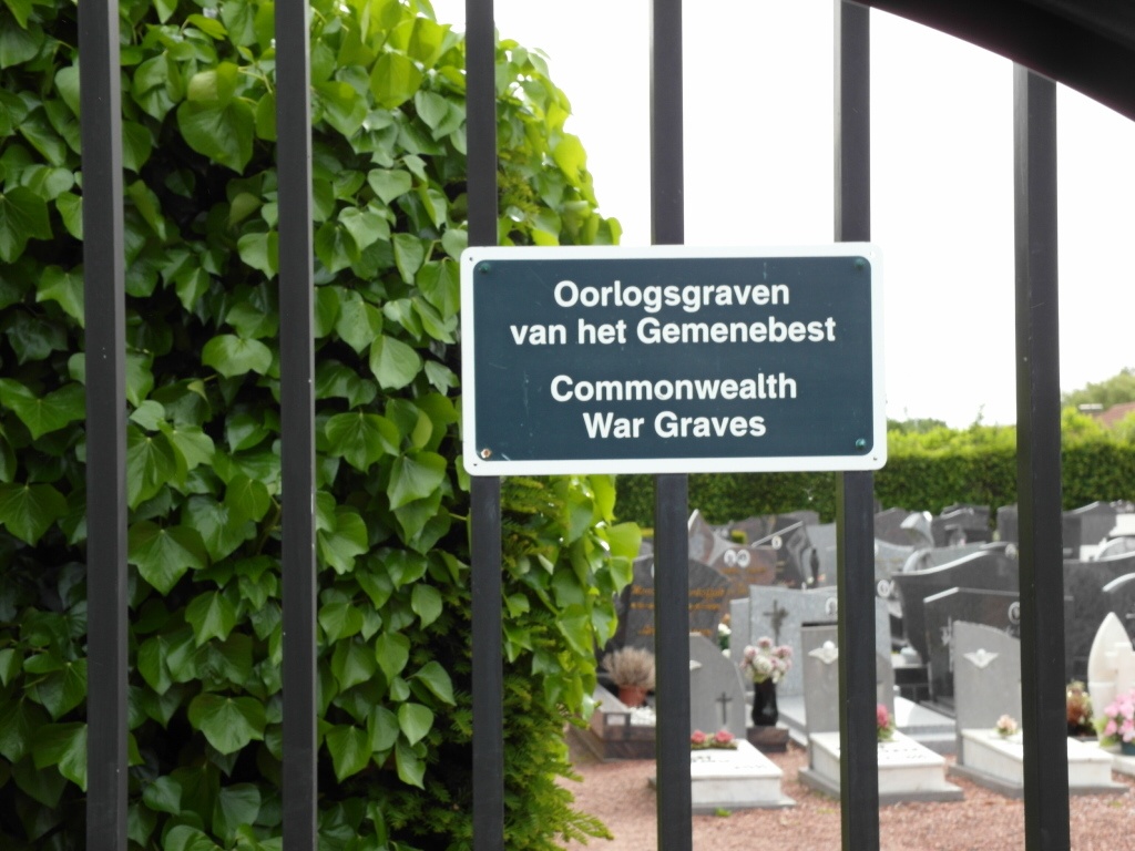
- Total identified casualties 3 Find these casualties
- Region Limburg (Belgium)
- Identified casualties from Second World War
- GPS Coordinates Latitude: 50.88549, Longitude: 5.53224
Location information
The village of Munsterbilzen is located north-west of the town of Maastricht on the N730. From the motorway E313 which runs between Antwerpen and Liege, turn off at junction 31 Hoeselt-Bilzen and onto the N730 direction Bilzen. In the village turn right onto the N2 and First left onto the N730 direction Munsterbilzen. On entering the village cross the railway and turn first right into Bunderstraat, the cemetery is on the right. The graves are located by the rear entrance.
History information
The British Expeditionary Force was involved in the later stages of the defence of Belgium following the German invasion in May 1940, and suffered many casualties in covering the withdrawal to Dunkirk.
Munsterbilzen Communal Cemetery contains the graves three airmen of the Second World War.