Faarevejle Churchyard
- Country Denmark
- Total identified casualties 2 Find these casualties
- Identified casualties from Second World War
- GPS Coordinates Latitude: 55.8026, Longitude: 11.44204
Location information
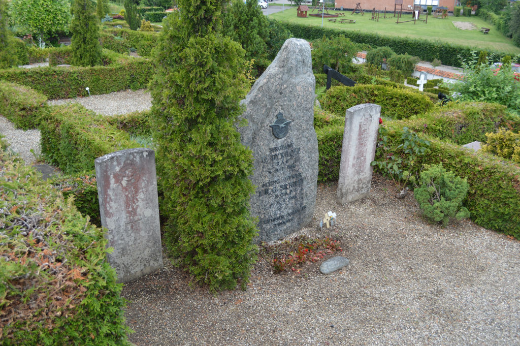
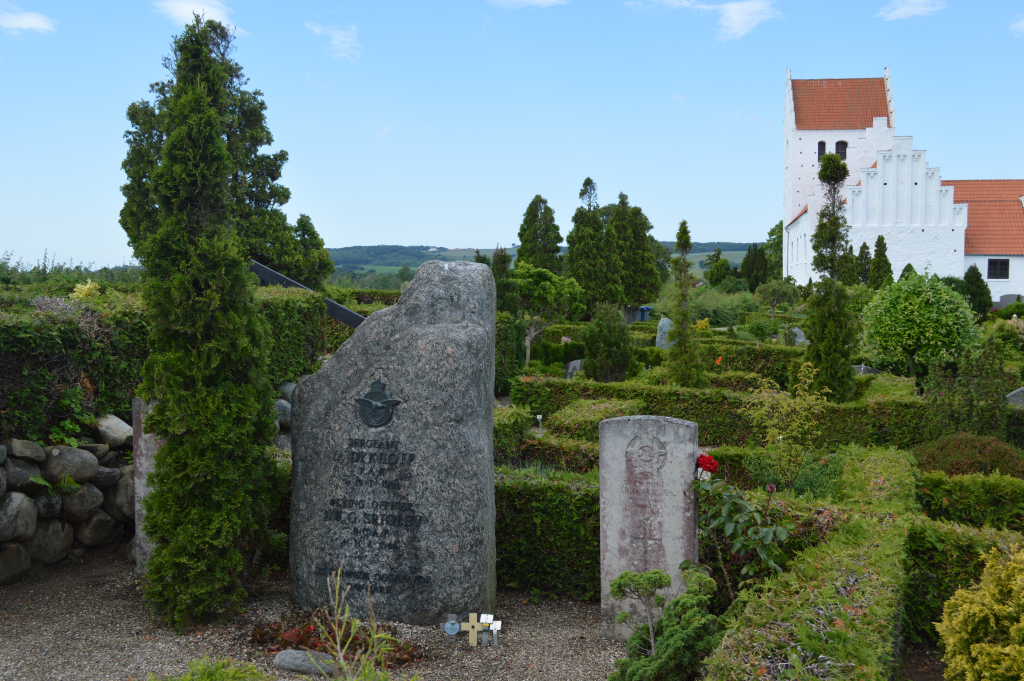
Faarevejle is a village in north-western Zealand, some 32 kilometres north east of Kalundborg. The white church can be clearly seen in the village, and the grave lies 100 metres behind the church.
History information
Faarevejle Churchyard contains the graves of two Commonwealth airmen.