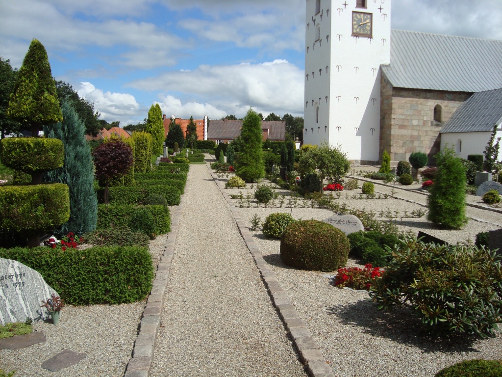
Horne Churchyard
- Country Denmark
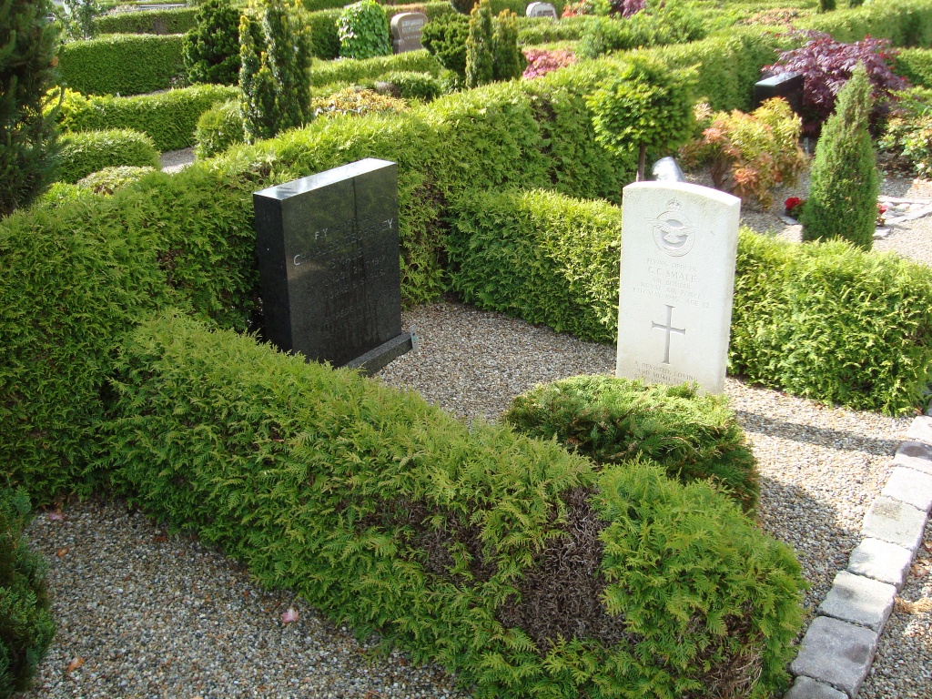
- Total identified casualties 1 Find these casualties
- Identified casualties from Second World War
- GPS Coordinates Latitude: 55.72484, Longitude: 8.53063

Location information
Horne is in western Jutland, 3 kilometres west of Tistrup railway station on the line from Esbjerg to Ringkobing, and 2 kilometres east of the main road between those towns.
The churchyard lies south of the village and contains 1 Commonwealth war grave, that of an airman of the Royal Air Force. From entrance take main path to right, grave is on right.