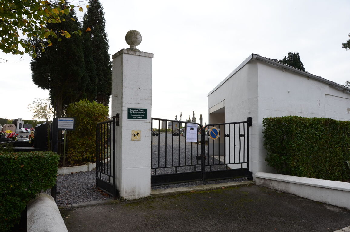
Cappelle-En-Pevele Communal Cemetery
- Country France
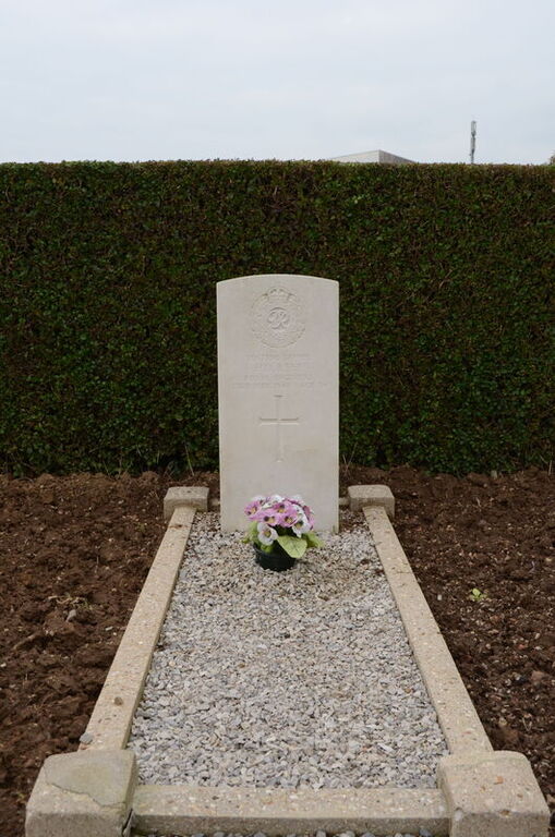
- Total identified casualties 1 Find these casualties
- Region Nord
- Identified casualties from Second World War
- GPS Coordinates Latitude: 50.51291, Longitude: 3.16591
Location information
Cappelle-en-Pevele is a village and commune about 15 kilometres south-south-east of Lille and 5 miles (8 kilometres) north-north-west of Orchies, which is on the N.353 main road from Seclin to St. Amand. The nearest railway station with a reasonable service is 1.5 miles to the north, at the Templeuve-Lille on the Valenciennes line, where a taxi or private car may be hired to complete the journey. The communal cemetery is at the north-western end of the village in a by road off the N.353 road The British grave is near the western corner, close to the boundary hedge.