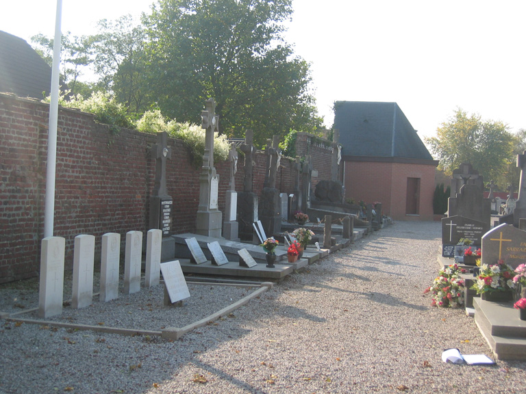
Comines Communal Cemetery
- Country France
- Total identified casualties 4 Find these casualties
- Region Nord
- Identified casualties from Second World War
- GPS Coordinates Latitude: 50.76596, Longitude: 3.01131
Location information
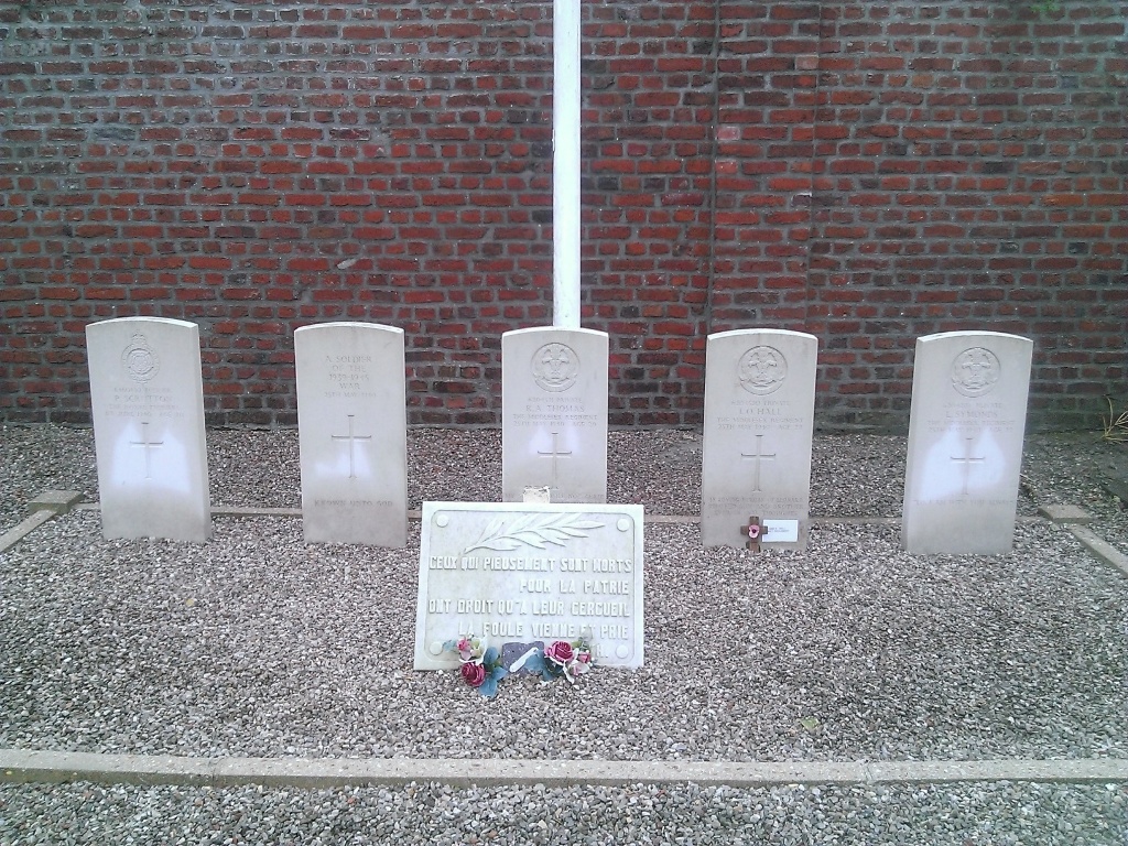
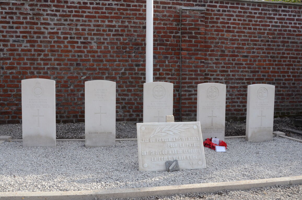
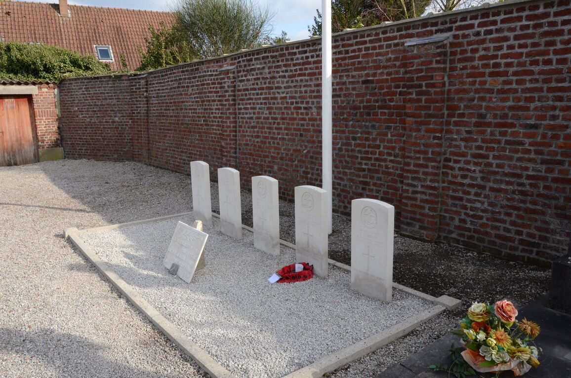
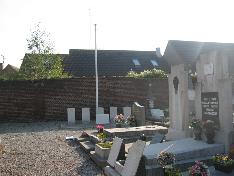
Comines is a village and commune about 9 miles (15 kilometres) north-north-west of Lille and on the Franco Belgian frontier. In fact part is on the French and part on the Belgian side of the river Lys. It has a railway station on the line from Lille and Deulemont. The cemetery is at the northern end of the village on the N.345 road to the neighbouring village of Wervic. Near the south-eastern corner and the southern boundary wall are the graves of five soldiers from the United Kingdom, one of whom is not identified.
Visiting information
Wheelchair access possible via main entrance on the Rue des Arts.


