Bours Churchyard
- Country France
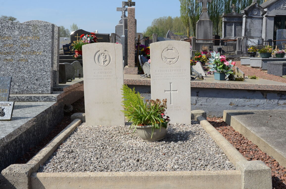
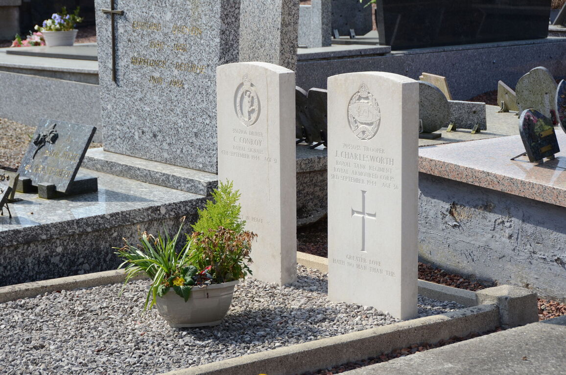
- Total identified casualties 2 Find these casualties
- Region Pas de Calais
- Identified casualties from Second World War
- GPS Coordinates Latitude: 50.45454, Longitude: 2.4108
Location information
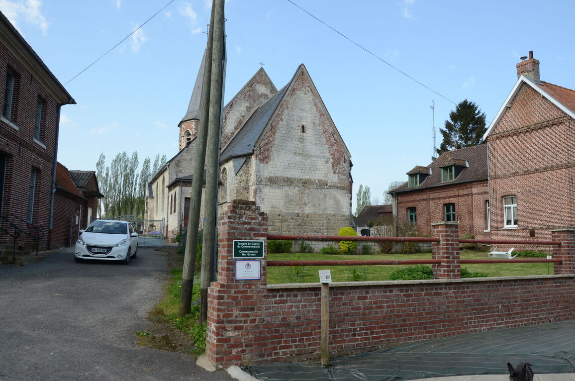
The village and commune of Bours is 32 kilometres north-west of Arras and about 9 kilometres north-north-east of St. Pol, a town on the N.39 road from Arras to Montreuil-sur-Mer.
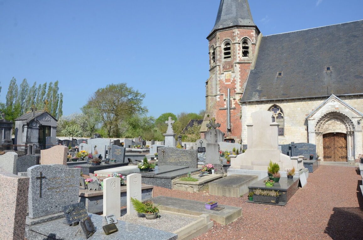
The two British graves are south of the main entrance to the church, and about 12 metres north of the southern boundary.