Halloy Communal Cemetery
- Country France
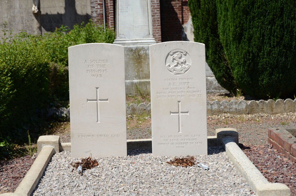
- Total identified casualties 1 Find these casualties
- Region Pas de Calais
- Identified casualties from Second World War
- GPS Coordinates Latitude: 50.15657, Longitude: 2.42226
Location information
Halloy is a village and commune 30 kilometres south-west of Arras and about 1 kilometre south of the Arras-Doullens road (N.25).
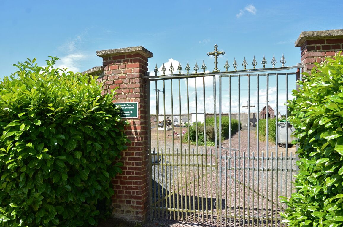
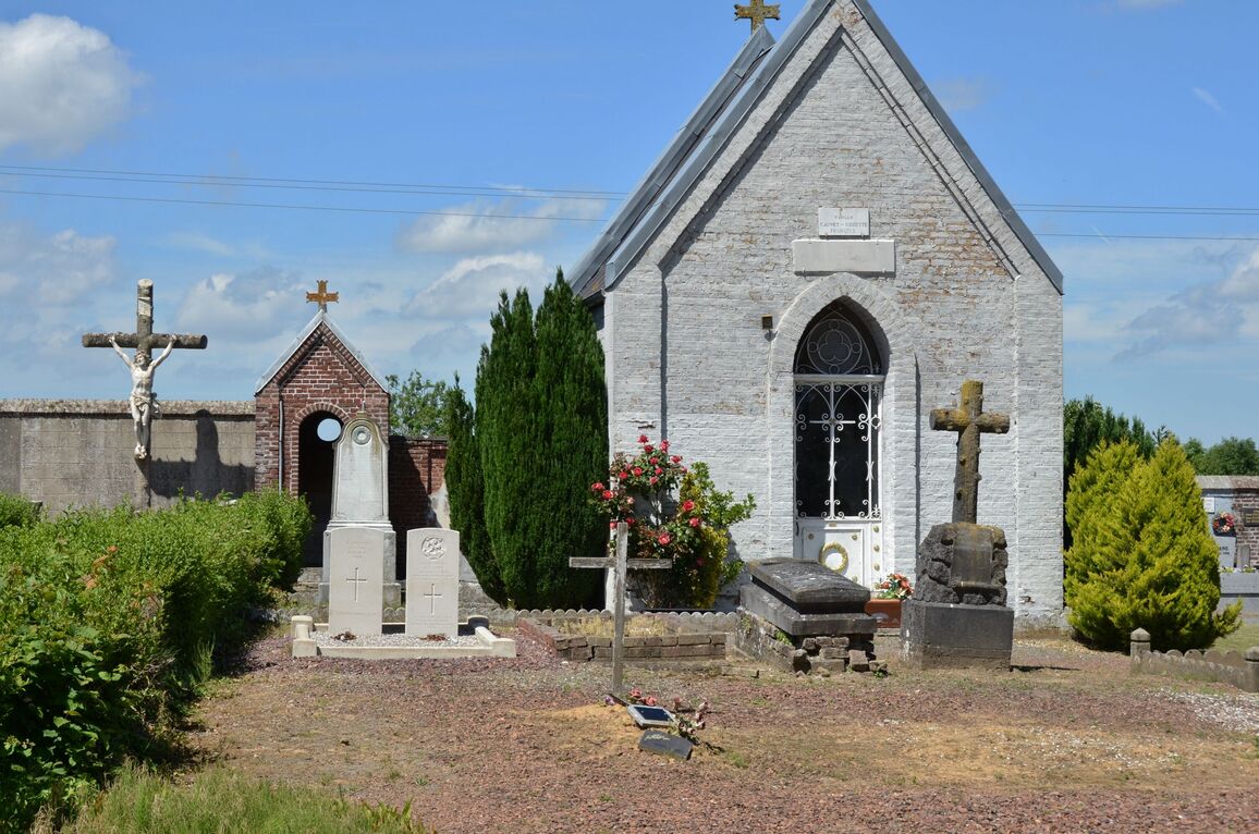
The communal cemetery is south-east of the village, on a by-road leading to the neighbouring village of Amplier. In the centre are the graves of two soldiers from the United Kingdom. one of whom could not be identified.