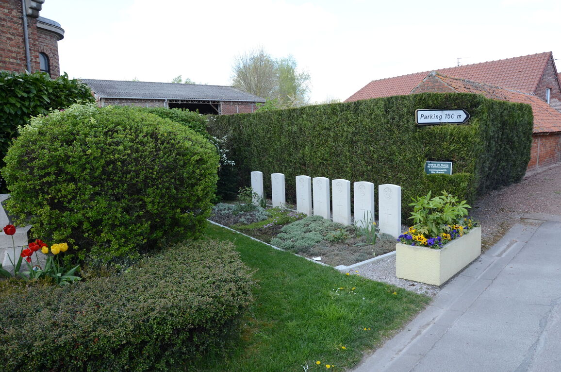
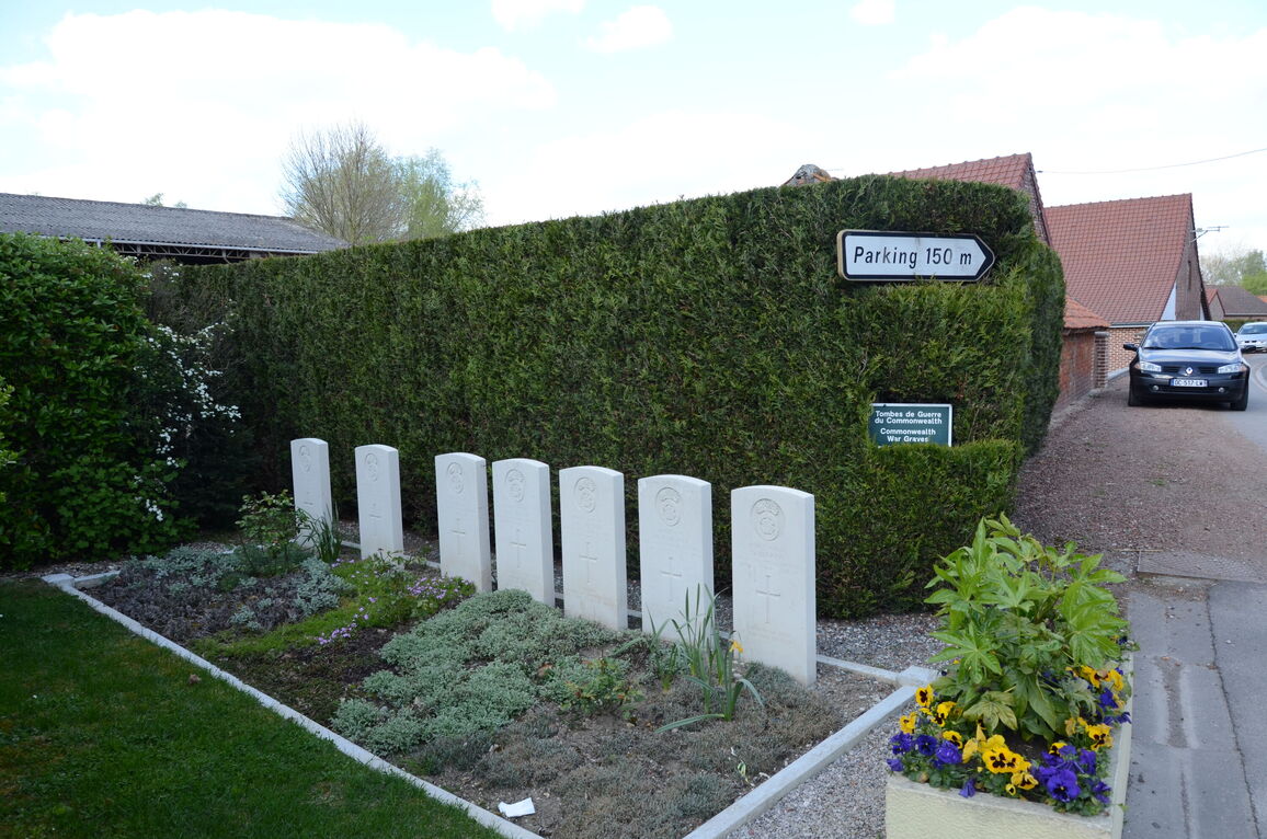
St. Floris Churchyard
- Country France
- Total identified casualties 7 Find these casualties
- Region Pas de Calais
- Identified casualties from Second World War
- GPS Coordinates Latitude: 50.62723, Longitude: 2.56895
Location information
St. Floris is a village and commune 40 kilometres north-north- west of Arras and 10 kilometres north-north-west of Bethune. In the churchyard, east of the church and near the local war memorial, are the graves of 7 soldiers from the United Kingdom, 3 of them, whose graves could not be precisely located, are commemorated by special memorials, i.e., inscribed "Buried near this spot".


