St. Inglevert Churchyard
- Country France
- Total identified casualties 3 Find these casualties
- Region Pas de Calais
- Identified casualties from Second World War
- GPS Coordinates Latitude: 50.87575, Longitude: 1.74211
Location information
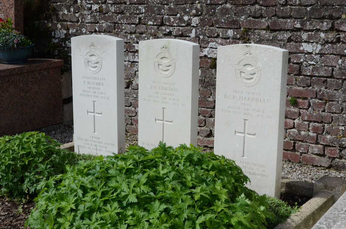
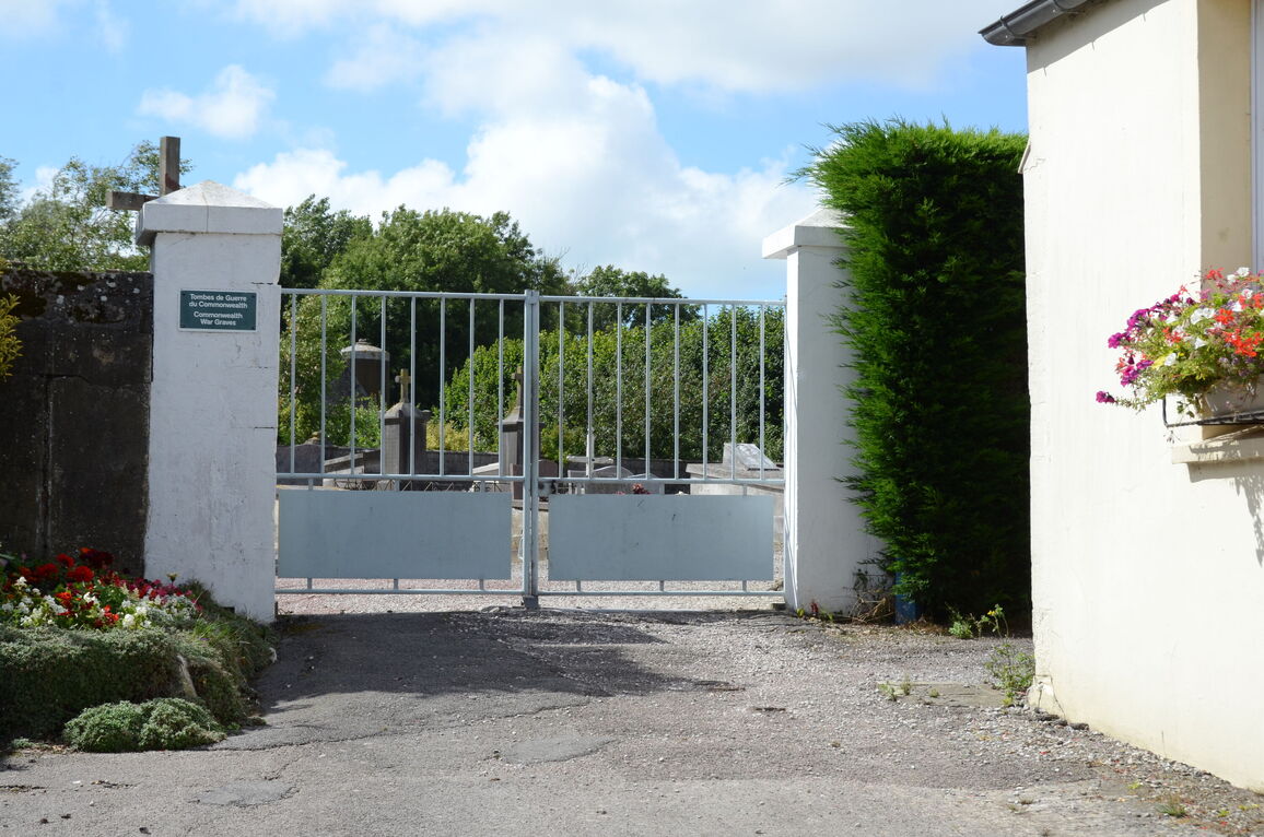
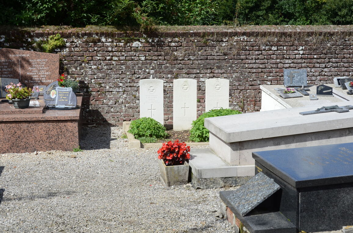
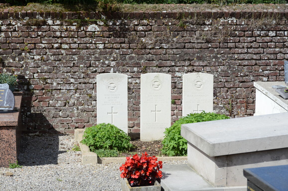
St. Inglevert is a village and commune on the main road (N.1) from Calais to Boulogne-sur-Mer, about 13 kilometres south-west of Calais, from which it is easily accessible. In the churchyard, near the centre of the northern boundary, is the collective grave of 3 airmen of the Royal Air Force.


