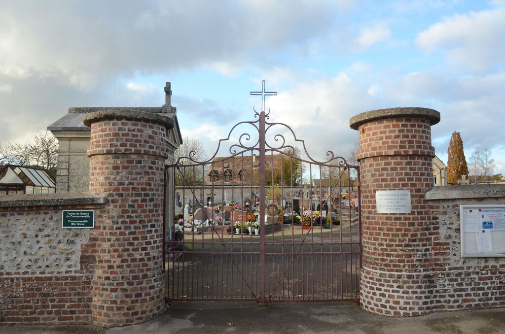
Charleval Communal Cemetery
- Country France
- Total identified casualties 1 Find these casualties
- Region Eure
- Identified casualties from Second World War
- GPS Coordinates Latitude: 49.37414, Longitude: 1.38566
Location information
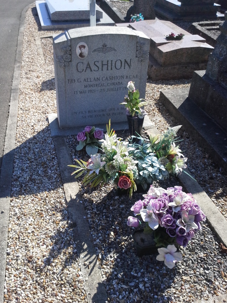
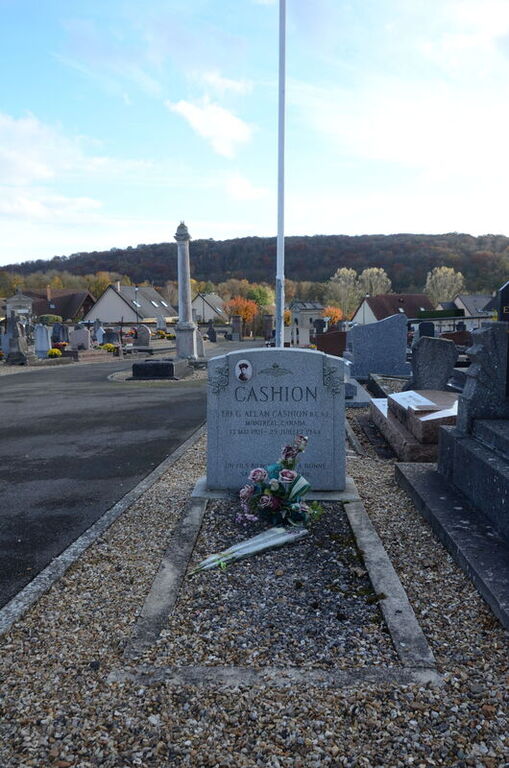
The village and commune of Charleval is 15 miles (24 kilometres) south-east of Rouen. There is a bus service from Rouen to the village, but it is poor, and the most convenient method for visitors is to take a taxi. The cemetery is on the north-eastern outskirts of the village, on the southern side of the D.169 road to Lyons-la-Foret. About 12 yards south of the chapel, near the western corner of the cemetery, is the grave of an airman belonging to the Royal Canadian Air Force, marked by a permanent private memorial.