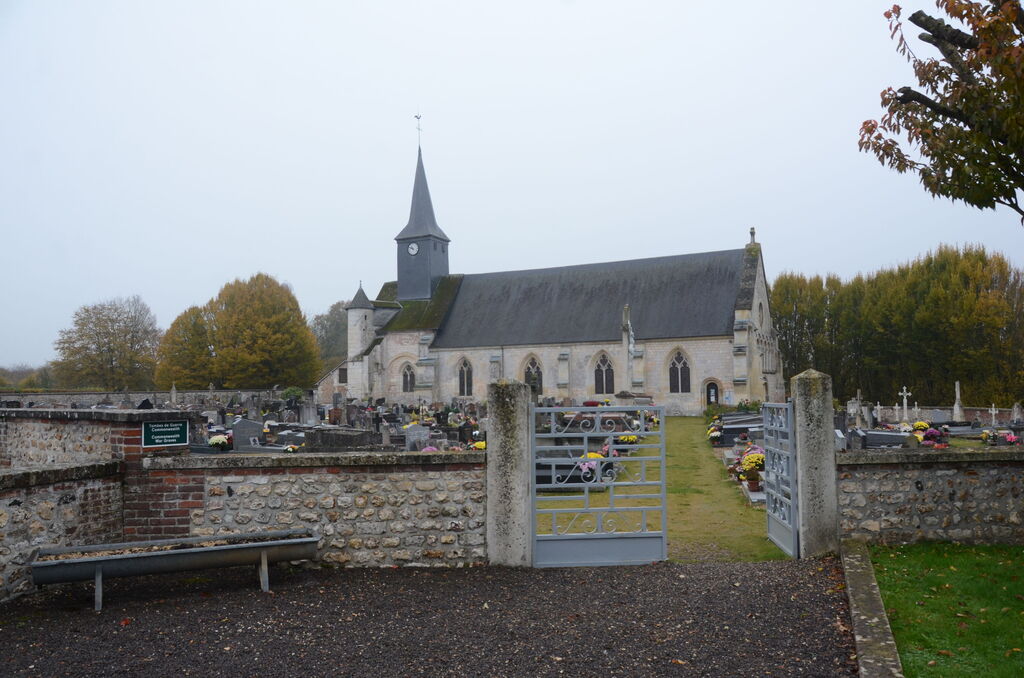
Corneville-Sur-Risle Churchyard
- Country France
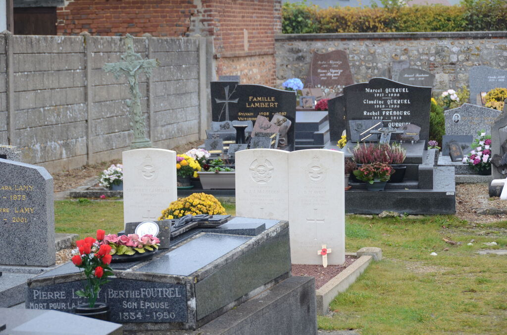
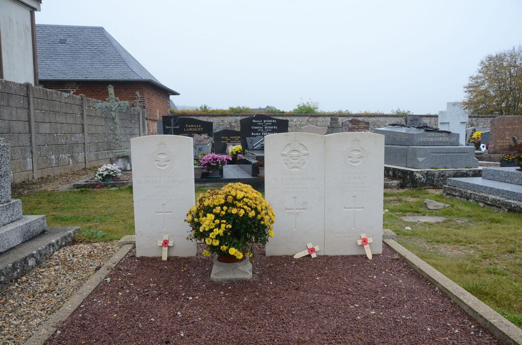
- Total identified casualties 3 Find these casualties
- Region Eure
- Identified casualties from Second World War
- GPS Coordinates Latitude: 49.33657, Longitude: 0.59478
Location information
Corneville-sur-Risle is a village and commune 8 kilometres south-west of Pont-Audemer, a small town 50 kilometres west of Rouen, and a similar distance north-west of Evreux. The village is situated south of the D.130 road from Pont-Audemer to Montfort-sur-Risle. In the north-eastern corner of the churchyard are the graves of two airman of the Royal Air Force and 1 airman of the Royal Canadian Air Force.