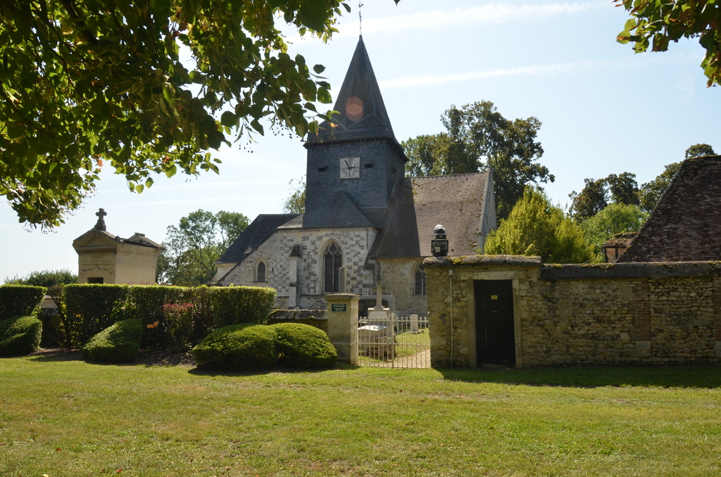
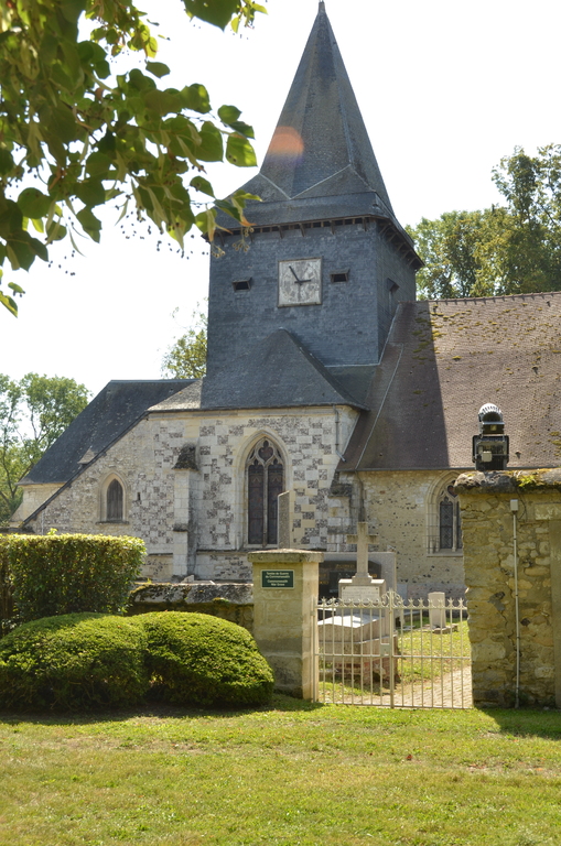
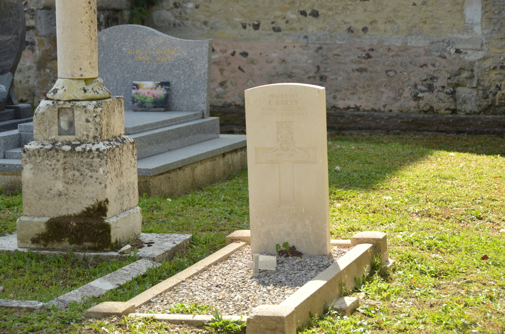
Guitry Churchyard
- Country France
- Total identified casualties 1 Find these casualties
- Region Eure
- Identified casualties from Second World War
- GPS Coordinates Latitude: 49.21496, Longitude: 1.54801
Location information
Guitry is a village and commune 14 kilometres north-north-east of Vernon. The churchyard is in the centre of the village, and the one Commonwealth war grave is to the east of the bricked pathway north of the church.