Les Minieres Communal Cemetery
- Country France
- Total identified casualties 1 Find these casualties
- Region Eure
- Identified casualties from Second World War
- GPS Coordinates Latitude: 48.8576, Longitude: 1.08368
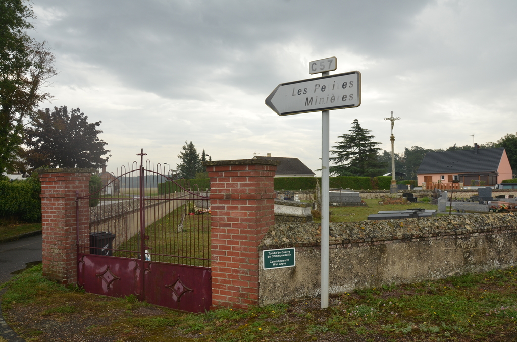
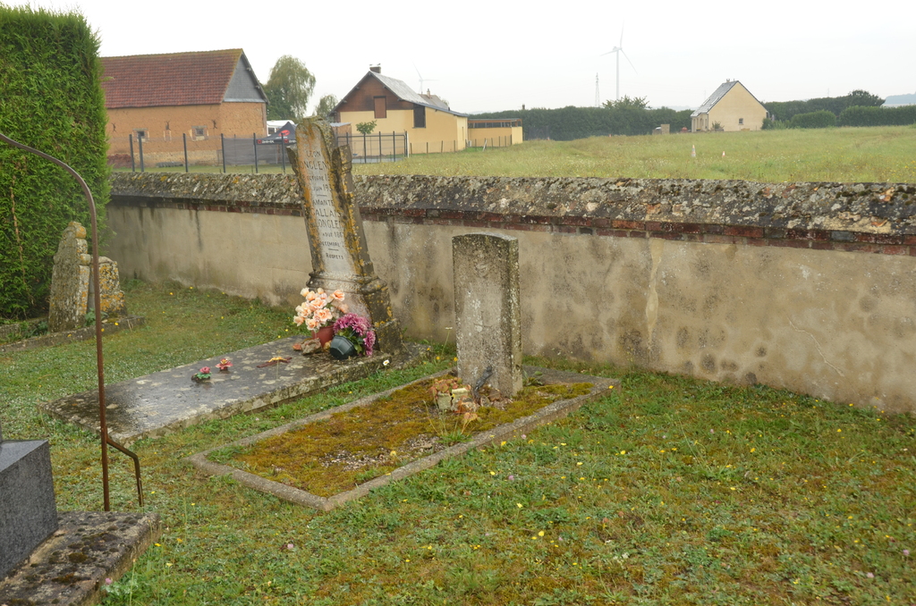
Location information
The village and commune of Les Minieres is 22 kilometres south of Evreux, a large town on the Cherbourg-Caen-Paris railway line. The most convenient station is Evreux, where taxis are available. There is a bus service between Evreux and Damville, which is only 2 kilometres from Les Minieres, and a taxi or private car could be hired at a garage at Damville. The communal cemetery is on the northern side of the village, on the D.40 road to Nonancourt. The British grave is eight yards south of the entrance and adjacent to the western wall of the cemetery.