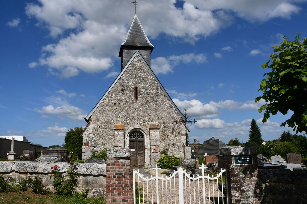
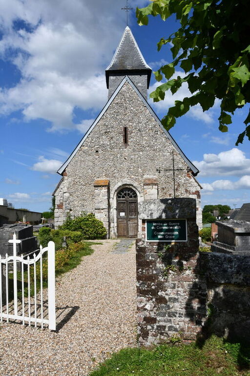
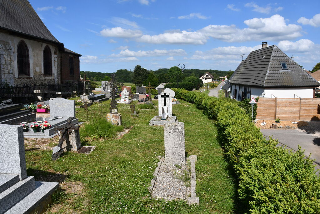
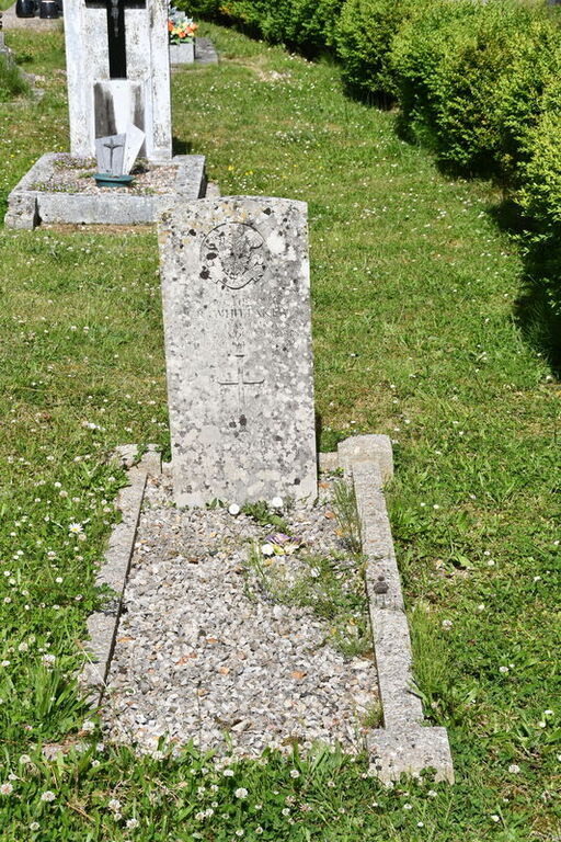
Letteguives Churchyard
- Country France
- Total identified casualties 1 Find these casualties
- Region Eure
- Identified casualties from Second World War
- GPS Coordinates Latitude: 49.4239, Longitude: 1.33053
Location information
Letteguives is a village and commune 20 kilometres east of Rouen. The one Commonwealth war grave is some two metres north of the centre of the southern wall.