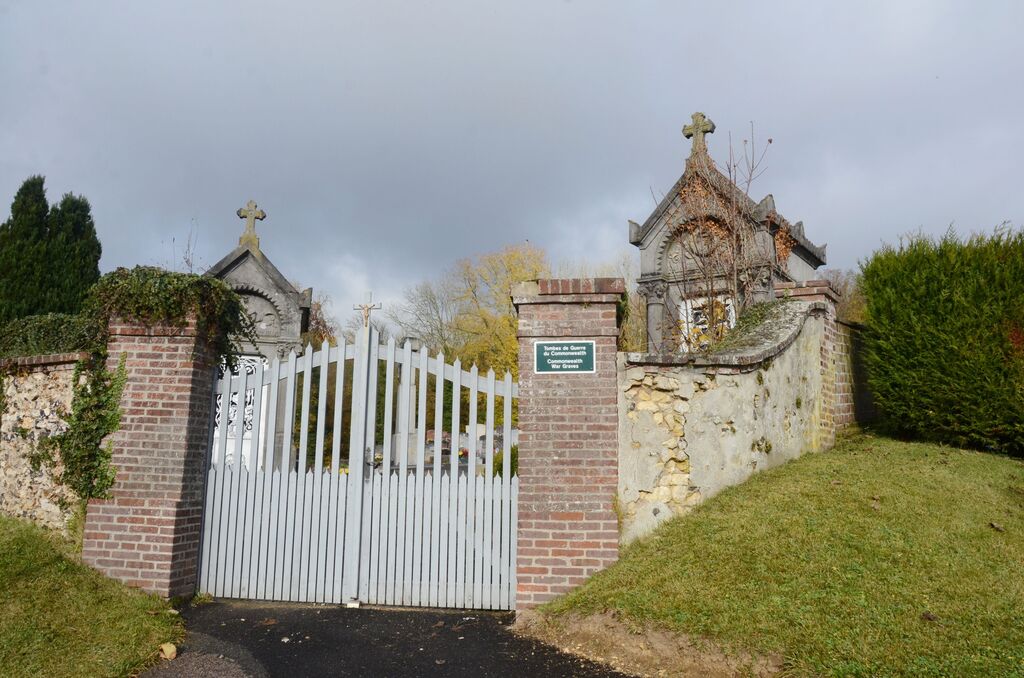
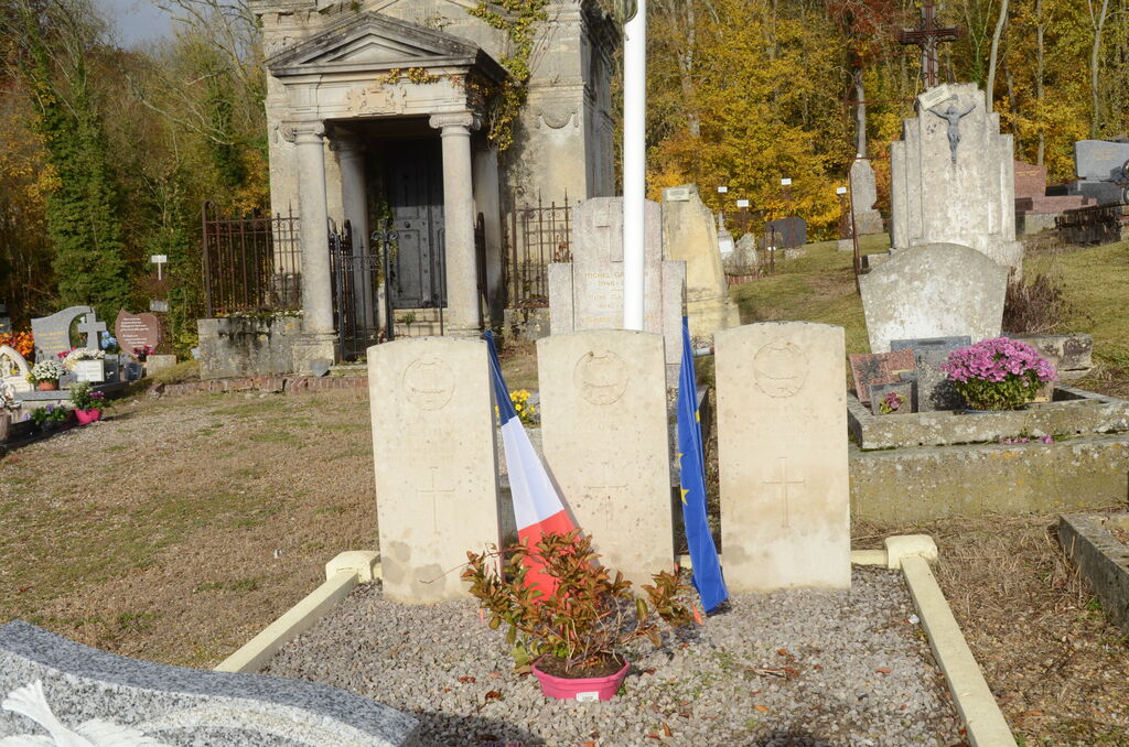
Mainneville Communal Cemetery
- Country France
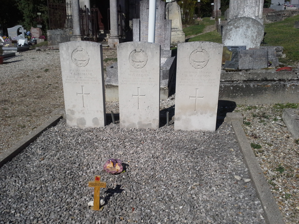
- Total identified casualties 3 Find these casualties
- Region Eure
- Identified casualties from Second World War
- GPS Coordinates Latitude: 49.37217, Longitude: 1.68715
Location information
Mainneville is a village 13 kilometres north-north-west of Gisors.
This burial ground is on the south-eastern side of the village, on the D.14 road to Hebecourt.