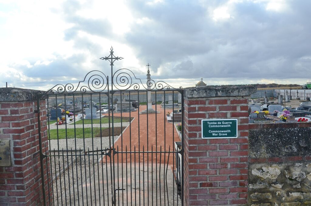
Richeville Communal Cemetery
- Country France
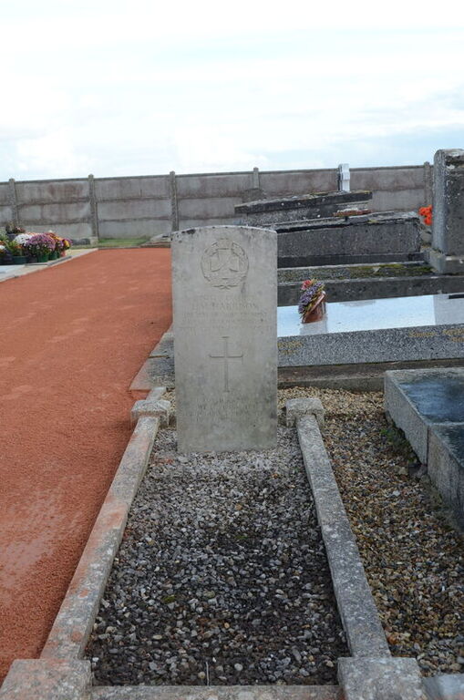
- Total identified casualties 1 Find these casualties
- Region Eure
- Identified casualties from Second World War
- GPS Coordinates Latitude: 49.26442, Longitude: 1.54121
Location information
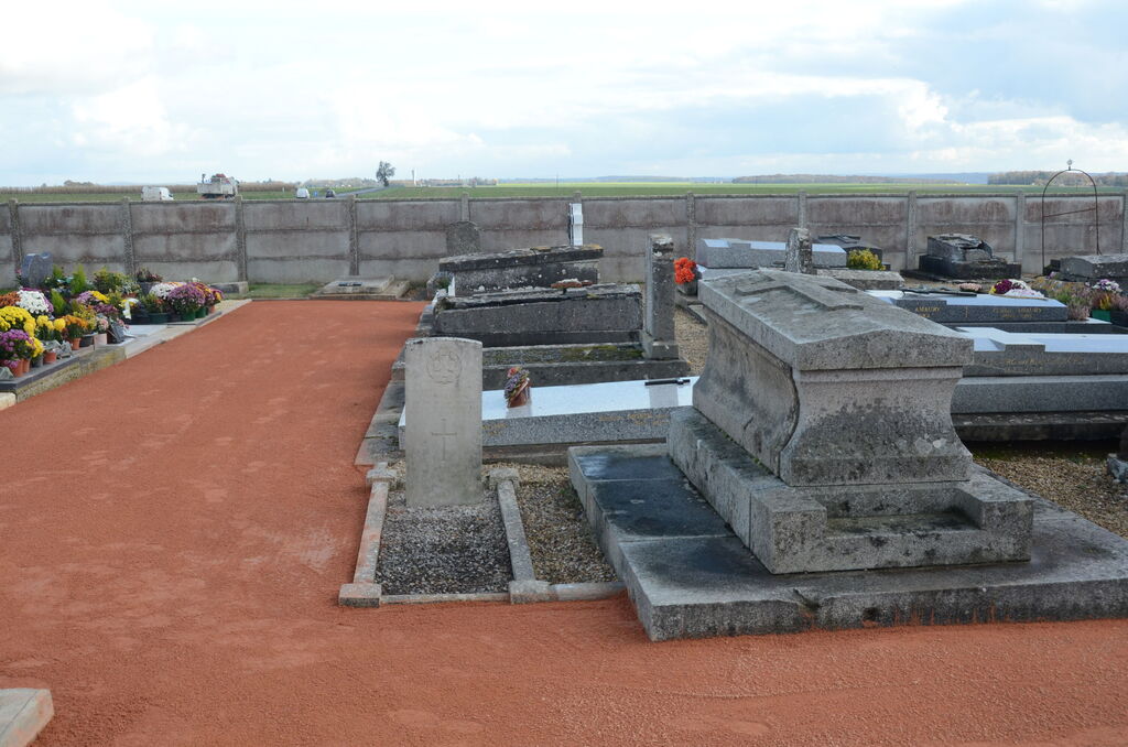
The village and commune of Richeville is 11.25 miles (18 kilometres) west of Gisors, on the N.14 road to Rouen, Pontoise and Paris. The nearest convenient railway station is Gisors, on the Dieppe-Pontoise-Paris line, where taxis are available. The cemetery is south-east of the village and is on the N.14 road. The one British grave is some four yards south-east of the Calvary in the centre of the burial ground.