St. Samson-De-La-Roque Churchyard
- Country France
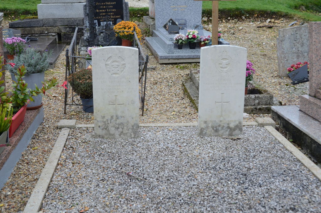
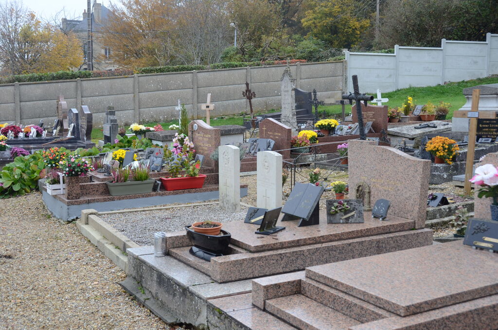
- Total identified casualties 2 Find these casualties
- Region Eure
- Identified casualties from Second World War
- GPS Coordinates Latitude: 49.42819, Longitude: 0.43125
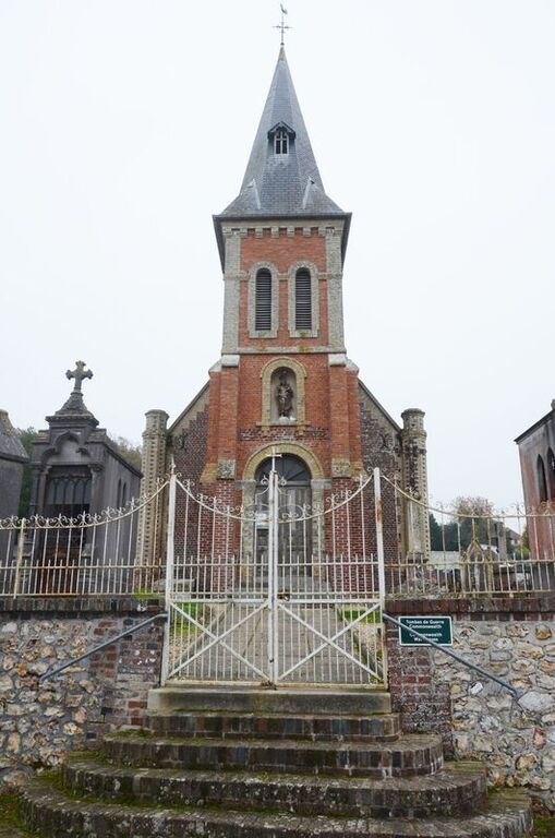
Location information
The village of St. Samson-de-la-Roque is 10 kilometres north-north-west of the town of Pont-Audemer.
The Churchyard is west of the D.100 road, and the 2 Commonwealth War Graves are north-east of the centre of the church.