Tourville-La-Campagne Communal Cemetery
- Country France
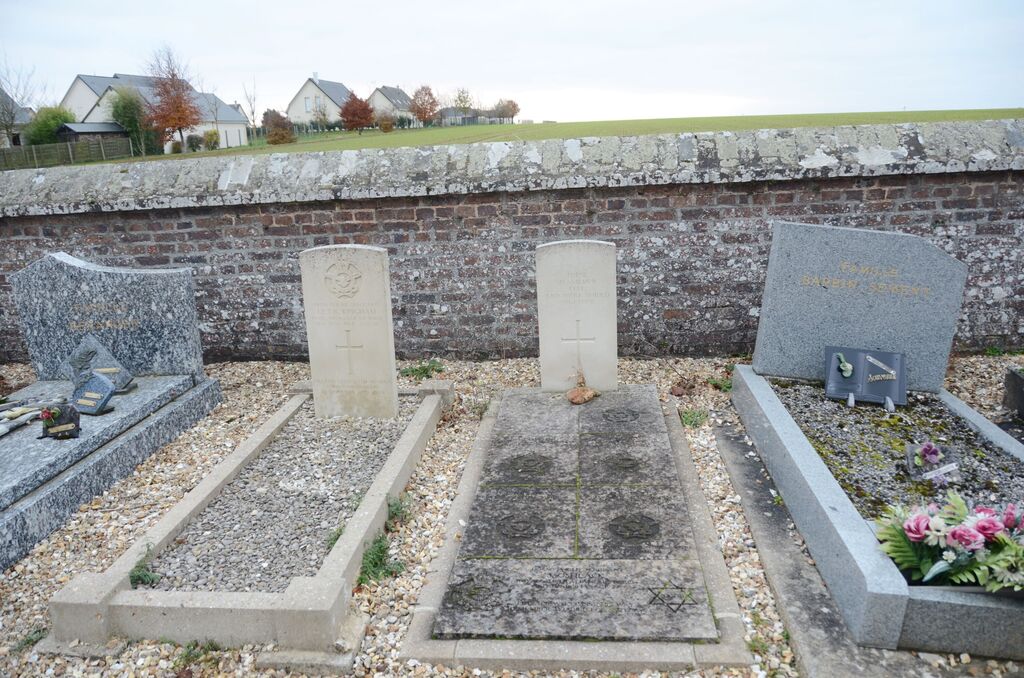
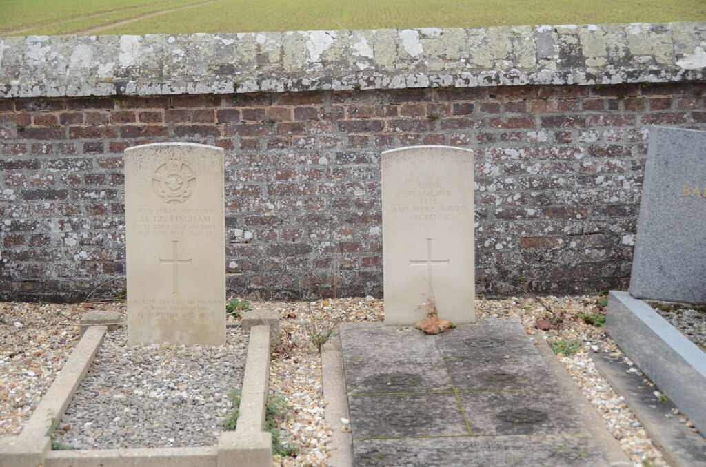
- Total identified casualties 7 Find these casualties
- Region Eure
- Identified casualties from Second World War
- GPS Coordinates Latitude: 49.232, Longitude: 0.90458
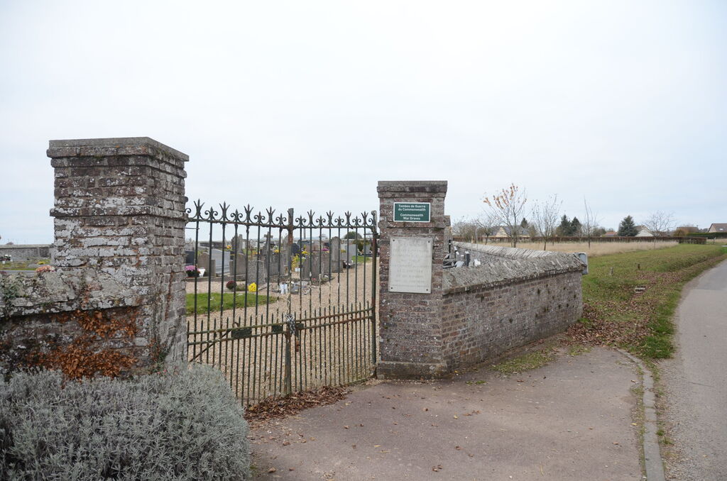
Location information
Tourville-la-Campagne is a village and commune 10 kilometres south-west of Elbeuf, a town lying 18 kilometres south of Rouen.
The cemetery is 400 yards north of the church, on the road leading to the neighbouring hamlet of Soulanger. In the south-western part are the graves of seven airmen, one of whom belonged to the Royal Air Force and the others to the Royal Australian Air Force.